
| Distance / Altitude | Location | Report Date / Time | Live Weather | Wind | Gusts | Temp. | Visibility | Cloud |
|---|---|---|---|---|---|---|---|---|
| 26 km ENE / 44 m | PekoaAirport(Santo) (Vanuatu) | 2024-04-30 13:00 local (2024/04/30 02:00 GMT) | State of sky unchanged | light winds from the ESE (19 km/h at 120) | 30°C | 20 km | - mostly cloudy - | |
| 26 km ENE / 44 m | Santo-Pekoa Airport (Vanuatu) | 2024-04-30 13:00 local (2024/04/30 02:00 GMT) | Dry and partly cloudy | light winds from the ESE (19 km/h at 120) | 30°C | 10.0 | scattered broken - | |
| 110 km ENE / 51 m | Longana Airport (Vanuatu) | 2024-04-30 14:00 local (2024/04/30 03:00 GMT) | Dry and partly cloudy | moderate winds from the SE (24 km/h at 130) | 30°C | 10.0 | broken | |
| 203 km NNE / 18 m | Sola (Vanua Lava Island) (Vanuatu) | 2024-04-30 14:00 local (2024/04/30 03:00 GMT) | Dry and cloudy | light winds from the ESE (9 km/h at 120) | 31°C | 10.0 | broken overcast | |
| 273 km SSE / 21 m | Bauerfield Airport - Efate Island (Vanuatu) | 2024-04-30 13:00 local (2024/04/30 02:00 GMT) | Dry and partly cloudy | moderate winds from the ESE (26 km/h at 120) | 27°C | 10.0 | broken broken - |
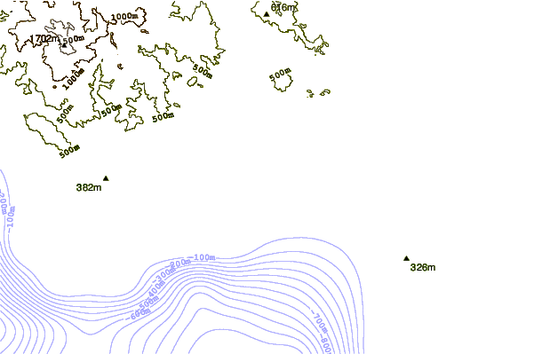
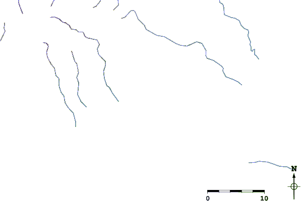
| Contours: | Roads & Rivers: | Select a
tide station / surf break / city |
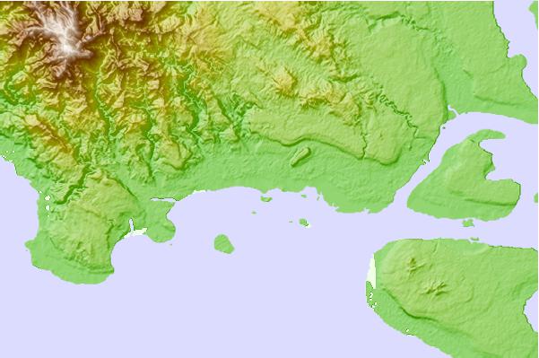
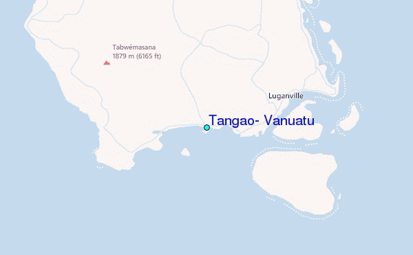
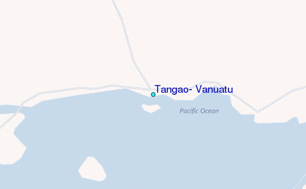
Use this relief map to navigate to tide stations, surf breaks and cities that are in the area of Tangao, Vanuatu.
Other Nearby Locations' tide tables and tide charts to Tangao, Vanuatu:
click location name for more details
 Surf breaks close to Tangao, Vanuatu:
|
||
|---|---|---|
| Closest surf break | Nagar | 164 mi |
| Second closest surf break | Takara | 165 mi |
| Third closest surf break | The Sequel | 166 mi |
| Fourth closest surf break | Mangea Reefs (The Channel Island) | 167 mi |
| Fifth closest surf break | Black Sands Beach | 168 mi |

 Nearest
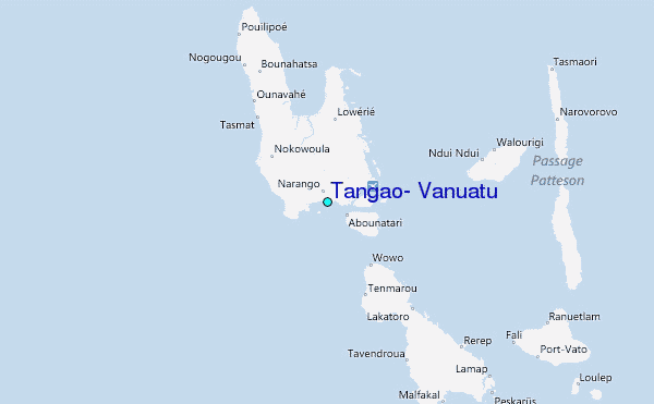