
| Distance / Altitude | Location | Report Date / Time | Live Weather | Wind | Gusts | Temp. | Visibility | Cloud |
|---|---|---|---|---|---|---|---|---|
| 56 km N / 50 m | BaselAssadInt. Airport (Syria) | 2024-05-03 00:00 local (2024/05/02 21:00 GMT) | - | light winds from the S (7 km/h at 180) | 20°C | 30 km | scattered | |
| 70 km N / 214 m | Latakia Airport (Syria) | 2024-05-03 00:00 local (2024/05/02 21:00 GMT) | - | light winds from the S (11 km/h at 180) | 20°C | 10.0 | few scattered | |
| 126 km S / 217 m | Beirut Airport (Lebanon) | 2024-05-03 01:00 local (2024/05/02 22:00 GMT) | - | moderate winds from the S (20 km/h at 190) | 20°C | 7.0 | few | |
| 137 km S / 875 m | Baaqline (Lebanon) | 2024-05-03 02:00 local (2024/05/02 23:00 GMT) | dry | calm (3 km/h at 109) | 12°C | - | - - 0 | |
| 167 km NNE / 82 m | Hatay Airport (Turkey) | 2024-05-03 00:50 local (2024/05/02 21:50 GMT) | no report | light winds from the SSW (19 km/h at 210) | 20°C | 10 | few scattered - |
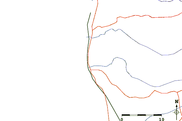
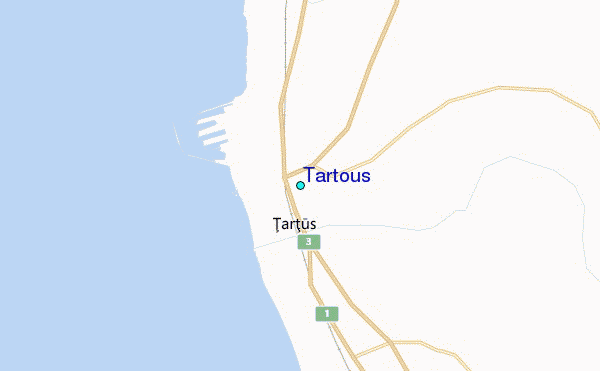
| Contours: | Roads & Rivers: | Select a
tide station / surf break / city |
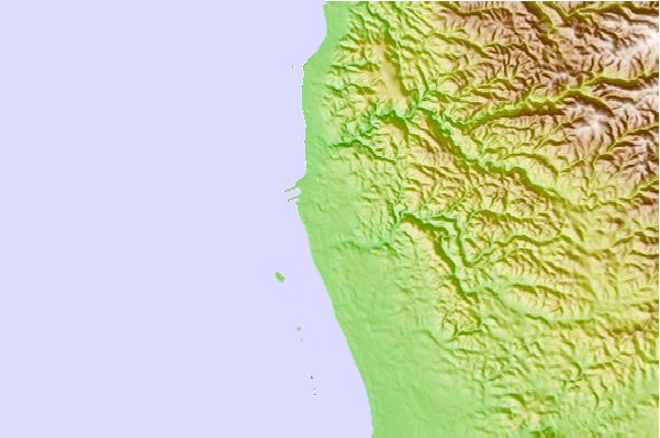
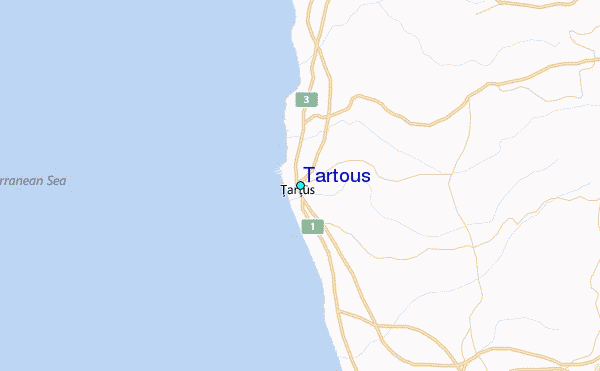
Use this relief map to navigate to tide stations, surf breaks and cities that are in the area of Tartous.
Other Nearby Locations' tide tables and tide charts to Tartous:
click location name for more details
 Surf breaks close to Tartous:
|
||
|---|---|---|
| Closest surf break | Sandy Beach - Chekka | 42 mi |
| Second closest surf break | Batroun or Colonel | 47 mi |
| Third closest surf break | Tam Tam | 55 mi |
| Fourth closest surf break | Nahr Brahim | 59 mi |
| Fifth closest surf break | Phil and Did (Akif's reef) | 89 mi |

 Nearest
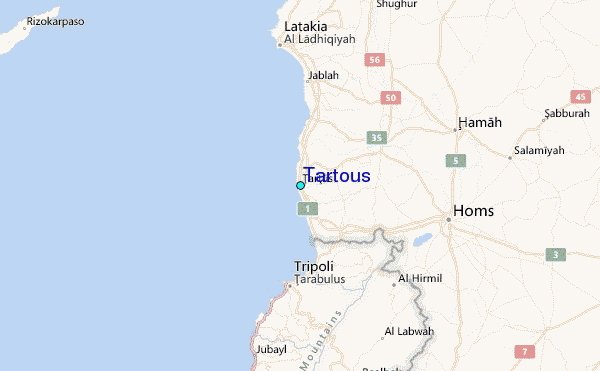