
| Distance / Altitude | Location | Report Date / Time | Live Weather | Wind | Gusts | Temp. | Visibility | Cloud |
|---|---|---|---|---|---|---|---|---|
| 14 km SSW / 4.6 m | Islamorada (Florida) | 2024-05-03 07:10 local (2024/05/03 11:10 GMT) | dry | - (- km/h at ) | — | - | - - 0 | |
| 24 km NE / 2 m | Key Largo (Florida) | 2024-05-03 07:45 local (2024/05/03 11:45 GMT) | dry | light winds from the ESE (8 km/h at 116) | 26°C | - | - - 0 | |
| 26 km SSE / 15 m | SHIP2185 (Marine) | 2024-05-03 06:00 local (2024/05/03 10:00 GMT) | - (- km/h at -) | — | - km | |||
| 26 km SSW / 1 m | Marathon (Florida) | 2024-05-03 07:28 local (2024/05/03 11:28 GMT) | dry | calm (0 km/h at ) | 26°C | - | - - 0 | |
| 38 km SW / 3 m | BUOY-LONF1 (Marine) | 2024-05-03 07:20 local (2024/05/03 11:20 GMT) | moderate winds from the E (22 km/h at 100) | 26°C | - |
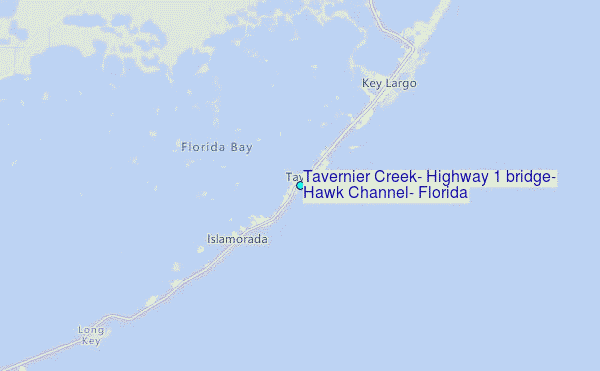
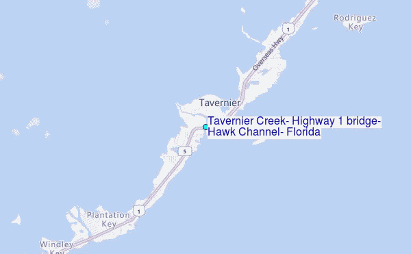
Choose Tavernier Creek, Highway 1 bridge, Hawk Channel, Florida Location Map Zoom:
| Contours: | Roads & Rivers: | Select a
tide station / surf break / city |
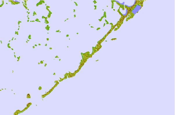
Use this relief map to navigate to tide stations, surf breaks and cities that are in the area of Tavernier Creek, Highway 1 bridge, Hawk Channel, Florida.
Other Nearby Locations' tide tables and tide charts to Tavernier Creek, Highway 1 bridge, Hawk Channel, Florida:
click location name for more details
 Surf breaks close to Tavernier Creek, Highway 1 bridge, Hawk Channel, Florida:
|
||
|---|---|---|
| Closest surf break | South Beach (Miami) | 58 mi |
| Second closest surf break | Fifth Street (Miami) | 59 mi |
| Third closest surf break | 21st Street (Miami) | 60 mi |
| Fourth closest surf break | Dunes Hotel (Miami) | 62 mi |
| Fifth closest surf break | Harbor House | 67 mi |

 Nearest
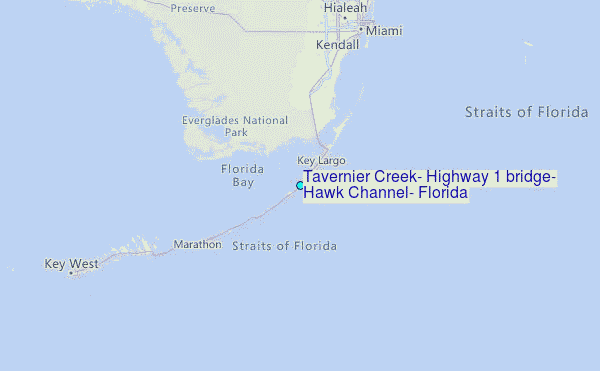