
| Distance / Altitude | Location | Report Date / Time | Live Weather | Wind | Gusts | Temp. | Visibility | Cloud |
|---|---|---|---|---|---|---|---|---|
| 62 km SSW / 384 m | La Mesa-Pedro Sula (Honduras) | 2024-05-02 03:00 local (2024/05/02 09:00 GMT) | Visibility reduced by smoke | calm (0 km/h at 0) | 27°C | 30 km | few scattered - | |
| 66 km SW / 174 m | Peña Blanca wx (Honduras) | 2024-05-02 04:09 local (2024/05/02 10:09 GMT) | dry | calm (0 km/h at 0) | 27°C | - | - - 0 | |
| 120 km WSW / 202 m | Puerto Barrios Airport (Guatemala) | 2024-05-02 03:00 local (2024/05/02 09:00 GMT) | Dry and partly cloudy | calm (0 km/h at 0) | 26°C | 10.0 | scattered | |
| 157 km S / 625 m | SotoCanoAB (Honduras) | 2024-05-02 03:00 local (2024/05/02 09:00 GMT) | Visibility reduced by smoke | calm (0 km/h at 0) | 23°C | 28 km | scattered | |
| 178 km ESE / 1194 m | Catacamas Airport (Honduras) | 2024-05-02 03:00 local (2024/05/02 09:00 GMT) | Dry and partly cloudy | calm (4 km/h at 1) | 25°C | 10.0 | scattered |
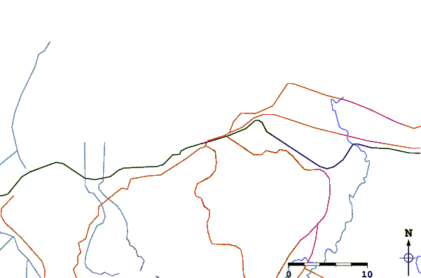
| Contours: | Roads & Rivers: | Select a
tide station / surf break / city |
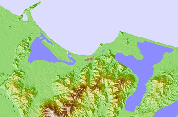
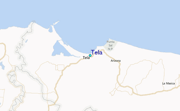
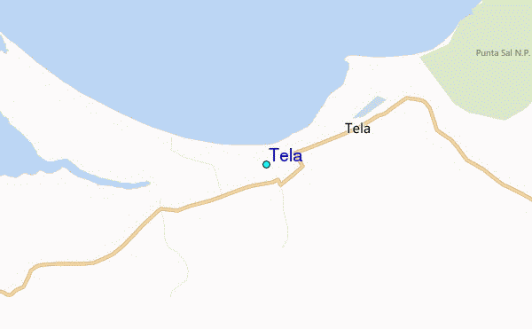
Use this relief map to navigate to tide stations, surf breaks and cities that are in the area of Tela.
Other Nearby Locations' tide tables and tide charts to Tela:
click location name for more details
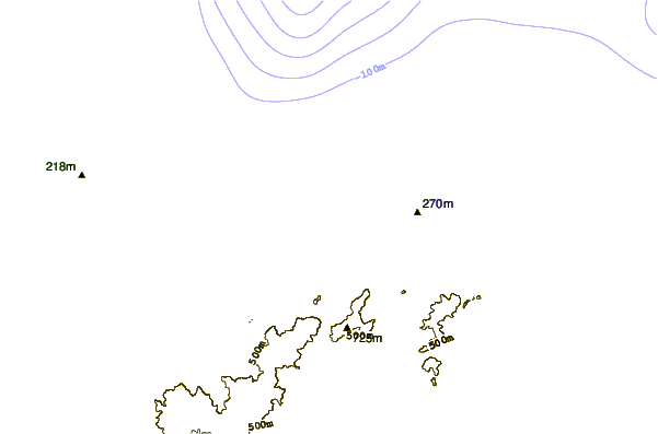
 Surf breaks close to Tela:
|
||
|---|---|---|
| Closest surf break | Palma Real | 63 mi |
| Second closest surf break | East Point Long Cay | 132 mi |
| Third closest surf break | San Pedro South Reef Pass | 150 mi |
| Fourth closest surf break | San Pedro North Reef Pass | 152 mi |
| Fifth closest surf break | Rocky Point | 164 mi |

 Nearest
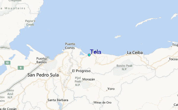