
| Distance / Altitude | Location | Report Date / Time | Live Weather | Wind | Gusts | Temp. | Visibility | Cloud |
|---|---|---|---|---|---|---|---|---|
| 4 km SSE / 90 m | Teller Airport (Alaska) | 2024-04-28 11:56 local (2024/04/28 19:56 GMT) | Dry and cloudy | light winds from the ENE (19 km/h at 70) | -1°C | 16 | broken overcast | |
| 9 km WNW / 9 m | Brevig_mission Airport (Alaska) | 2024-04-28 12:18 local (2024/04/28 20:18 GMT) | Dry and cloudy | light winds from the ENE.(Wind varies from 040 to 100 degs) (13 km/h at 70) | 1°C | 16 | overcast | |
| 80 km W / 164 m | Tin City Airport (Alaska) | 2024-04-28 11:55 local (2024/04/28 19:55 GMT) | Dry and cloudy | fresh winds from the NNE (37 km/h at 20) | -4°C | 16 | overcast | |
| 90 km W / 7 m | Wales Airport (Alaska) | 2024-04-28 12:09 local (2024/04/28 20:09 GMT) | Light snow | light winds from the NE (19 km/h at 40) | -3°C | 13 | overcast | |
| 92 km SE / 16 m | Nome (Alaska) | 2024-04-28 12:44 local (2024/04/28 20:44 GMT) | - | calm (5 km/h at 310) | 2°C | - | - - 0 |
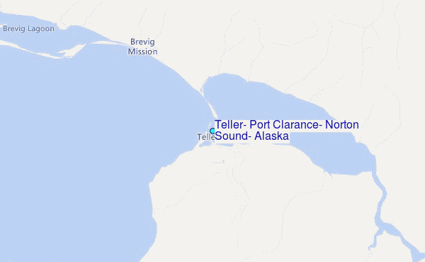
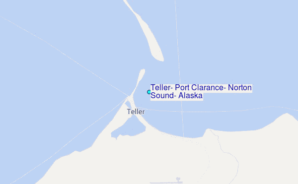
Choose Teller, Port Clarance, Norton Sound, Alaska Location Map Zoom:
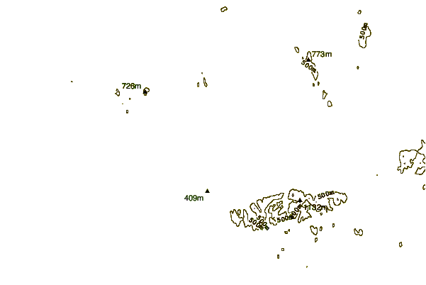
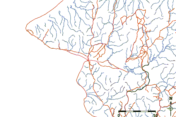
| Contours: | Roads & Rivers: | Select a
tide station / surf break / city |
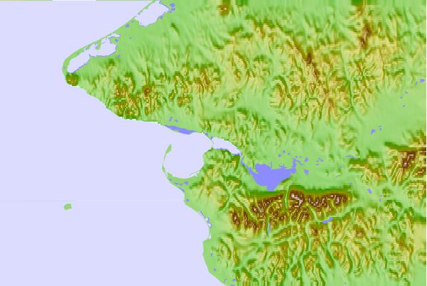
Use this relief map to navigate to tide stations, surf breaks and cities that are in the area of Teller, Port Clarance, Norton Sound, Alaska.
Other Nearby Locations' tide tables and tide charts to Teller, Port Clarance, Norton Sound, Alaska:
click location name for more details
 Surf breaks close to Teller, Port Clarance, Norton Sound, Alaska:
|
||
|---|---|---|
| Closest surf break | Bird Point (Tidal Bore) | 563 mi |
| Second closest surf break | Termination Point | 685 mi |
| Third closest surf break | Monashka Bay | 686 mi |
| Fourth closest surf break | Mill Bay | 688 mi |
| Fifth closest surf break | Fossil Beach Kodiak | 710 mi |

 Nearest
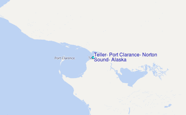