
| Distance / Altitude | Location | Report Date / Time | Live Weather | Wind | Gusts | Temp. | Visibility | Cloud |
|---|---|---|---|---|---|---|---|---|
| 12 km S / 1 m | Sas van Gent (Netherlands) | 2024-05-02 09:13 local (2024/05/02 07:13 GMT) | dry | wind obs. (8 kph from 244 degs) was rejected (- km/h at -) | 16°C | - | - - 0 | |
| 17 km NE / 2 m | Hansweert (Netherlands) | 2024-05-02 09:00 local (2024/05/02 07:00 GMT) | - | light winds from the E (7 km/h at 90) | — | - | no observation | |
| 20 km WNW / 10 m | VlissingenAws (Netherlands) | 2024-05-02 09:00 local (2024/05/02 07:00 GMT) | Rain and snow or hail | light winds from the SE (11 km/h at 140) | 14°C | 5.0 km | clear | |
| 21 km WNW / 32 m | Vlissingen Airport (Netherlands) | 2024-05-02 08:25 local (2024/05/02 06:25 GMT) | Mist - | light winds from the N.(Wind varies from 310 to 030 degs) (6 km/h at 350) | 16°C | 4.5 | no cloud | |
| 22 km NNE / 2 m | Westdorpe (Netherlands) | 2024-05-02 09:00 local (2024/05/02 07:00 GMT) | Mist | light winds from the SW (18 km/h at 230) | 15°C | 3.9 km | no observation |
| Contours: | Roads & Rivers: | Select a
tide station / surf break / city |
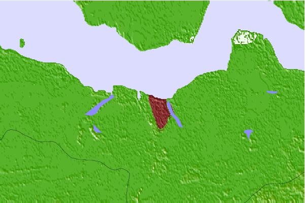
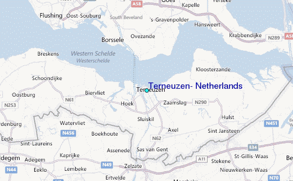
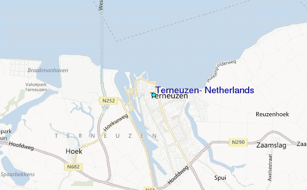
Use this relief map to navigate to tide stations, surf breaks and cities that are in the area of Terneuzen, Netherlands.
Other Nearby Locations' tide tables and tide charts to Terneuzen, Netherlands:
click location name for more details
 Surf breaks close to Terneuzen, Netherlands:
|
||
|---|---|---|
| Closest surf break | Domburg | 22 mi |
| Second closest surf break | Casino Break | 24 mi |
| Third closest surf break | Surfer's Paradise | 24 mi |
| Fourth closest surf break | Li l J Bay | 25 mi |
| Fifth closest surf break | Zeebrugge | 26 mi |

 Nearest
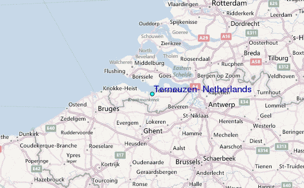