
| Distance / Altitude | Location | Report Date / Time | Live Weather | Wind | Gusts | Temp. | Visibility | Cloud |
|---|---|---|---|---|---|---|---|---|
| 4 km S / 216 m | Goose Bay Airport (Newfoundland) | 2024-05-03 04:30 local (2024/05/03 07:00 GMT) | Mist - | light winds from the NNE (19 km/h at 30) | 0°C | 8 | overcast broken overcast | |
| 6 km SSE / 1 m | GooseUa-Nfld (Canada) | 2024-05-03 04:30 local (2024/05/03 07:00 GMT) | Continuous light snow | moderate winds from the NNE (22 km/h at 30) | 1°C | 28 km | - overcast - | |
| 226 km E / 12 m | Cartwright Airport (Newfoundland) | 2024-05-03 04:30 local (2024/05/03 07:00 GMT) | Dry and cloudy | light winds from the NNE (19 km/h at 20) | 0°C | 11 | overcast | |
| 227 km ENE / 14 m | Cartwright (Canada) | 2024-05-03 04:30 local (2024/05/03 07:00 GMT) | no report | light winds from the NNE (18 km/h at 20) | 0°C | 31 km | - overcast - | |
| 234 km N / 212 m | Hopedale Airport (Newfoundland) | 2024-05-03 04:30 local (2024/05/03 07:00 GMT) | - | calm (2 km/h at 0) | -1°C | 0.0 |
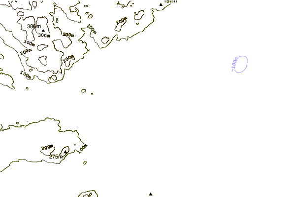
| Contours: | Roads & Rivers: | Select a
tide station / surf break / city |

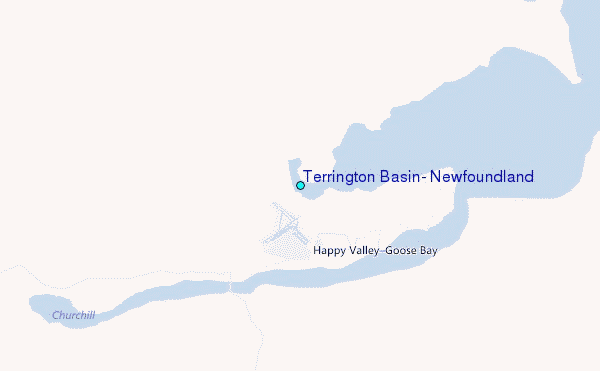
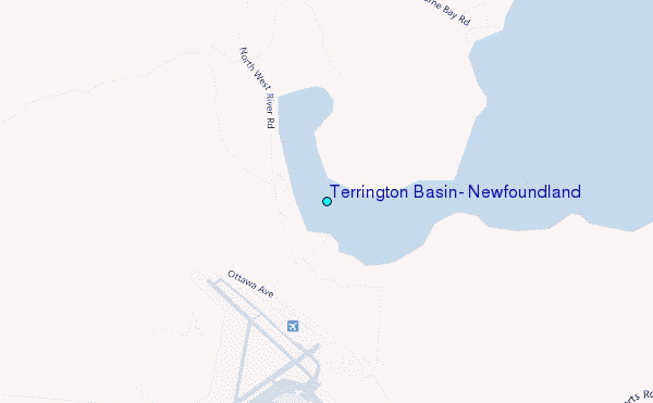
Use this relief map to navigate to tide stations, surf breaks and cities that are in the area of Terrington Basin, Newfoundland.
Other Nearby Locations' tide tables and tide charts to Terrington Basin, Newfoundland:
click location name for more details
 Surf breaks close to Terrington Basin, Newfoundland:
|
||
|---|---|---|
| Closest surf break | Ingonish Beach | 464 mi |
| Second closest surf break | Kennington Cove | 517 mi |
| Third closest surf break | Michaud Point | 538 mi |
| Fourth closest surf break | Martinique | 612 mi |
| Fifth closest surf break | Lawrencetown Left Point | 617 mi |

 Nearest
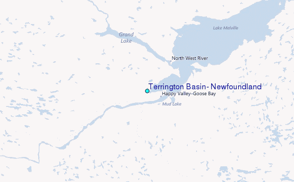