
| Distance / Altitude | Location | Report Date / Time | Live Weather | Wind | Gusts | Temp. | Visibility | Cloud |
|---|---|---|---|---|---|---|---|---|
| 36 km SSW / 198 m | Chevery Airport (Quebec) | 2024-04-29 04:00 local (2024/04/29 07:00 GMT) | - | light winds from the N (9 km/h at 360) | -4°C | 0.0 | ||
| 38 km SSW / 8 m | Chevery-Que (Canada) | 2024-04-29 04:00 local (2024/04/29 07:00 GMT) | no report | light winds from the NNW (13 km/h at 330) | -4°C | - | - no observation - | |
| 38 km SSW / 8 m | Chevery- Que (Canada) | 2024-04-29 05:00 local (2024/04/29 08:00 GMT) | no report | light winds from the N (14 km/h at 360) | -2°C | - | - | |
| 83 km SSW / 7 m | CapeWhittle-Que (Canada) | 2024-04-29 04:00 local (2024/04/29 07:00 GMT) | no report | light winds from the N (18 km/h at 10) | 1°C | - | - no observation - | |
| 83 km SSW / 7 m | Cape Whittle- Que (Canada) | 2024-04-29 00:00 local (2024/04/29 03:00 GMT) | no report | light winds from the N (18 km/h at 10) | 1°C | - | - |
| Contours: | Roads & Rivers: | Select a
tide station / surf break / city |
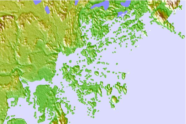
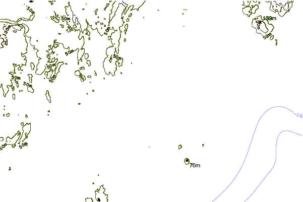
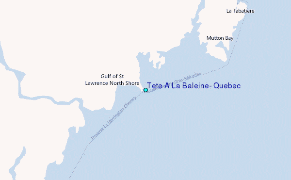
Use this relief map to navigate to tide stations, surf breaks and cities that are in the area of Tete A La Baleine, Quebec.
Other Nearby Locations' tide tables and tide charts to Tete A La Baleine, Quebec:
click location name for more details
 Surf breaks close to Tete A La Baleine, Quebec:
|
||
|---|---|---|
| Closest surf break | Ingonish Beach | 285 mi |
| Second closest surf break | Kennington Cove | 334 mi |
| Third closest surf break | Michaud Point | 360 mi |
| Fourth closest surf break | Martinique | 453 mi |
| Fifth closest surf break | Lawrencetown Left Point | 459 mi |

 Nearest