
| Distance / Altitude | Location | Report Date / Time | Live Weather | Wind | Gusts | Temp. | Visibility | Cloud |
|---|---|---|---|---|---|---|---|---|
| 13 km S / 0 m | Texel Hors (Netherlands) | 2024-04-28 22:00 local (2024/04/28 20:00 GMT) | no report | fresh winds from the SW (36 km/h at 230) | — | - | - no observation - | |
| 16 km WSW / 15 m | SHIP3240 (Marine) | 2024-04-28 20:00 local (2024/04/28 18:00 GMT) | - (- km/h at -) | — | - km | |||
| 19 km NE / 10 m | Vlieland Island Airport (Netherlands) | 2024-04-28 22:00 local (2024/04/28 20:00 GMT) | Dry and partly cloudy | strong winds from the SW (43 km/h at 230) | 9°C | 10.0 | few broken broken | |
| 21 km S / 1 m | DE Kooij VK (Netherlands) | 2024-04-28 22:00 local (2024/04/28 20:00 GMT) | State of sky unchanged | moderate winds from the SW (25 km/h at 230) | 10°C | 45 km | - overcast - | |
| 22 km S / 219 m | De Kooy (Netherlands) | 2024-04-28 21:25 local (2024/04/28 19:25 GMT) | Dry and cloudy | fresh winds from the WSW (31 km/h at 240) | 9°C | 10.0 | few broken overcast |
| Contours: | Roads & Rivers: | Select a
tide station / surf break / city |

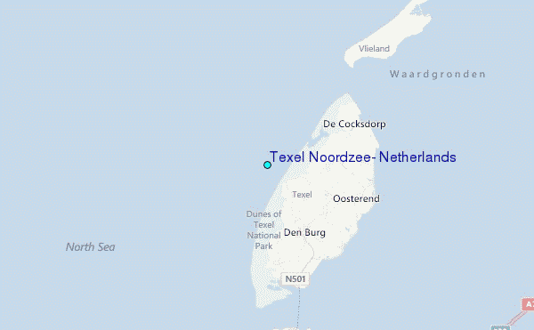
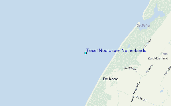
Use this relief map to navigate to tide stations, surf breaks and cities that are in the area of Texel Noordzee, Netherlands.
Other Nearby Locations' tide tables and tide charts to Texel Noordzee, Netherlands:
click location name for more details
 Surf breaks close to Texel Noordzee, Netherlands:
|
||
|---|---|---|
| Closest surf break | Kogerstrand (De Koog) | 1 mi |
| Second closest surf break | Texel (Waddeneilanden) | 7 mi |
| Third closest surf break | Hargen | 21 mi |
| Fourth closest surf break | Camperduin | 22 mi |
| Fifth closest surf break | Petten | 23 mi |

 Nearest
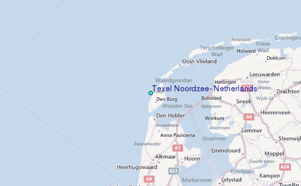