
| Distance / Altitude | Location | Report Date / Time | Live Weather | Wind | Gusts | Temp. | Visibility | Cloud |
|---|---|---|---|---|---|---|---|---|
| 26 km W / 375 m | Vága Floghavn/Sørvágur-Airport (Denmark) | 2024-04-29 10:20 local (2024/04/29 09:20 GMT) | Light rain | fresh winds from the NNE (30 km/h at 20) | 8°C | 10.0 | few overcast | |
| 220 km SE / 3 m | K7 Buoy (Marine) | 2024-04-29 11:00 local (2024/04/29 10:00 GMT) | - (- km/h at -) | 8°C | - | |||
| 235 km SE / 3 m | SHIP9954 (Marine) | 2024-04-29 09:00 local (2024/04/29 08:00 GMT) | - (- km/h at -) | — | - | |||
| 266 km ESE / 3 m | Clair (Marine) | 2024-04-29 11:00 local (2024/04/29 10:00 GMT) | - (- km/h at -) | — | - | |||
| 345 km ESE / 15 m | Baltasound NO 2 (United Kingdom) | 2024-04-29 11:00 local (2024/04/29 10:00 GMT) | Fog at a distance | fresh winds from the SSW (35 km/h at 200) | 8°C | 50 km | - overcast - |
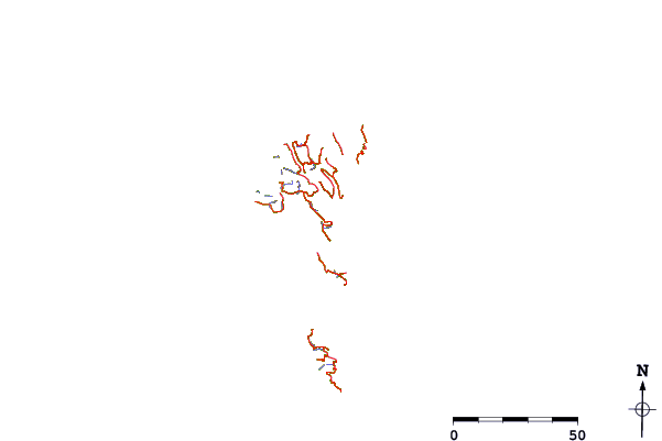
| Contours: | Roads & Rivers: | Select a
tide station / surf break / city |
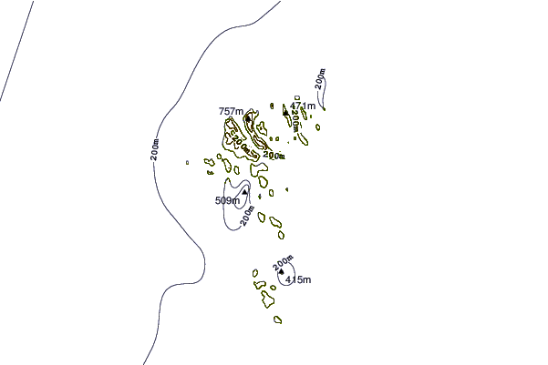
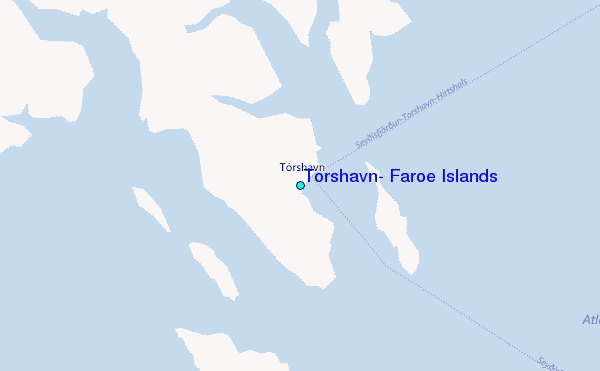
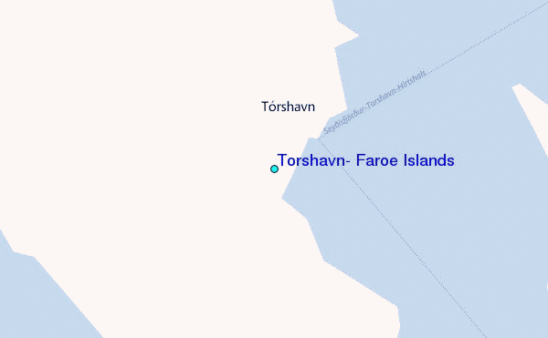
Use this relief map to navigate to tide stations, surf breaks and cities that are in the area of Tórshavn, Faroe Islands.
Other Nearby Locations' tide tables and tide charts to Thorshavn, Faroe Islands:
click location name for more details
 Surf breaks close to Thorshavn, Faroe Islands:
|
||
|---|---|---|
| Closest surf break | Húsavik Shorey (Sandoy) | 14 mi |
| Second closest surf break | Tjornuvik Bay (Streymoy) | 24 mi |
| Third closest surf break | Birsay Bay | 231 mi |
| Fourth closest surf break | Saviskaill Bay | 234 mi |
| Fifth closest surf break | Bay of Skaill | 236 mi |

 Nearest
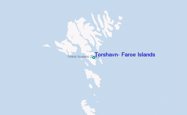