
| Distance / Altitude | Location | Report Date / Time | Live Weather | Wind | Gusts | Temp. | Visibility | Cloud |
|---|---|---|---|---|---|---|---|---|
| 4 km ESE / 273 m | Freetown/Lungi International Airport (Sierra Leone) | 2024-05-06 19:00 local (2024/05/06 19:00 GMT) | - | light winds from the SW (19 km/h at 220) | 29°C | 10.0 | few | |
| 113 km NW / 26 m | ConakryGbessia (Guinea) | 2024-05-06 21:00 local (2024/05/06 21:00 GMT) | - | light winds from the W (15 km/h at 280) | 30°C | 30 km | - clear - | |
| 114 km NW / 337 m | Conakry/Gbessia-Internationa Airport (Guinea-bissau) | 2024-05-06 20:00 local (2024/05/06 20:00 GMT) | - | light winds from the W (15 km/h at 280) | — | 0.0 | ||
| 166 km NW / 72 m | Kénendé wx (Guinea) | 2024-05-06 20:19 local (2024/05/06 20:19 GMT) | dry | calm (3 km/h at 304) | 28°C | - | - - 0 | |
| 298 km SSW / 15 m | SHIP2142 (Marine) | 2024-05-06 21:00 local (2024/05/06 21:00 GMT) | - (- km/h at -) | — | - km |
| Contours: | Roads & Rivers: | Select a
tide station / surf break / city |
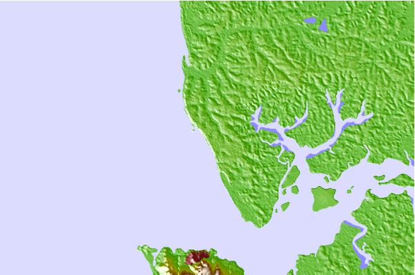
Use this relief map to navigate to tide stations, surf breaks and cities that are in the area of Tintafor.
Other Nearby Locations' tide tables and tide charts to Tintafor:
click location name for more details
 Surf breaks close to Tintafor:
|
||
|---|---|---|
| Closest surf break | Aberdeen Area Beach | 11 mi |
| Second closest surf break | River No. 2 | 20 mi |
| Third closest surf break | Burreh Beach | 29 mi |
| Fourth closest surf break | Baki (Turtle Islands) | 71 mi |
| Fifth closest surf break | Baki (Turtle Islands) | 73 mi |

 Nearest