
| Distance / Altitude | Location | Report Date / Time | Live Weather | Wind | Gusts | Temp. | Visibility | Cloud |
|---|---|---|---|---|---|---|---|---|
| 129 km ESE / 1237 m | Ciudad de Catamayo Airport (Ecuador) | 2024-05-04 05:30 local (2024/05/04 10:30 GMT) | - | calm (4 km/h at 30) | 20°C | 10.0 | few broken | |
| 169 km NNE / 6 m | GuayaquilAeropuerto (Ecuador) | 2024-05-04 04:00 local (2024/05/04 09:00 GMT) | Haze | light winds from the SSW (19 km/h at 210) | 26°C | 30 km | - mostly cloudy - | |
| 172 km NNE / 211 m | Guayaquil/José Joaquín de Olmedo International Airport (Ecuador) | 2024-05-04 04:00 local (2024/05/04 09:00 GMT) | Dry and partly cloudy | light winds from the SSW (19 km/h at 210) | 26°C | 10.0 | few broken broken | |
| 179 km S / 1 m | Piura/Capitán FAP Guillermo Concha Iberico International Airport (Peru) | 2024-05-04 04:00 local (2024/05/04 09:00 GMT) | - | light winds from the SSW (7 km/h at 200) | — | 0.0 | ||
| 180 km S / 186 m | Piura-Capitán FAP Guillermo Concha Iberico International (Peru) | 2024-05-04 04:00 local (2024/05/04 09:00 GMT) | State of sky unchanged | light winds from the SSW (7 km/h at 200) | 21°C | 30 km | - mostly cloudy - |
| Contours: | Roads & Rivers: | Select a
tide station / surf break / city |
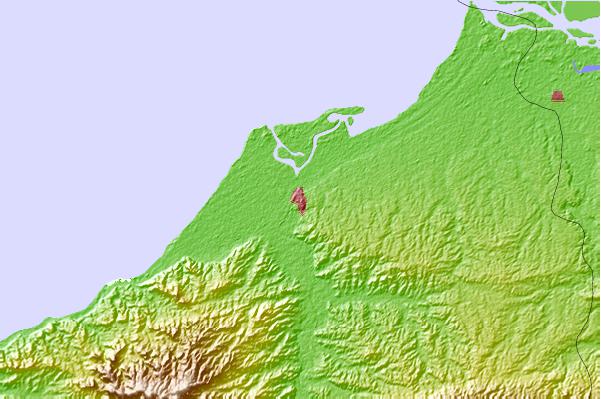
Use this relief map to navigate to tide stations, surf breaks and cities that are in the area of Tumbes.
Other Nearby Locations' tide tables and tide charts to Tumbes:
click location name for more details
 Surf breaks close to Tumbes:
|
||
|---|---|---|
| Closest surf break | Zorritos | 17 mi |
| Second closest surf break | Peña Redonda | 22 mi |
| Third closest surf break | Punta Mero | 26 mi |
| Fourth closest surf break | Cancas | 45 mi |
| Fifth closest surf break | Punta Sal | 47 mi |

 Nearest