
| Distance / Altitude | Location | Report Date / Time | Live Weather | Wind | Gusts | Temp. | Visibility | Cloud |
|---|---|---|---|---|---|---|---|---|
| 11 km ESE / 215 m | Kota Bharu/Sultan Ismail Petra Airport (Malaysia) | 2024-05-04 13:00 local (2024/05/04 05:00 GMT) | - | light winds from the NE.(Wind varies from 350 to 100 degs) (15 km/h at 40) | 33°C | 10.0 | few | |
| 13 km ESE / 5 m | KotaBharu (Malaysia) | 2024-05-04 14:00 local (2024/05/04 06:00 GMT) | Thunderstorm but no precipitation falling at station | light winds from the NNE (15 km/h at 30) | 34°C | 34 km | mostly cloudy | |
| 43 km S / 31 m | Kampong Banggol Jenereh wx (Malaysia) | 2024-05-04 14:02 local (2024/05/04 06:02 GMT) | - | calm (0 km/h at 0) | 38°C | - | - - 0 | |
| 46 km W / 91 m | Narathiwat (Thailand) | 2024-05-04 14:00 local (2024/05/04 06:00 GMT) | no report | light winds from the NNE (7 km/h at 30) | 33°C | 10 | - no observation - | |
| 58 km WNW / 217 m | Narathiwat Airport (Thailand) | 2024-05-04 13:00 local (2024/05/04 05:00 GMT) | - | light winds from the NE.(Wind varies from 350 to 060 degs) (13 km/h at 40) | 34°C | 10.0 | few |
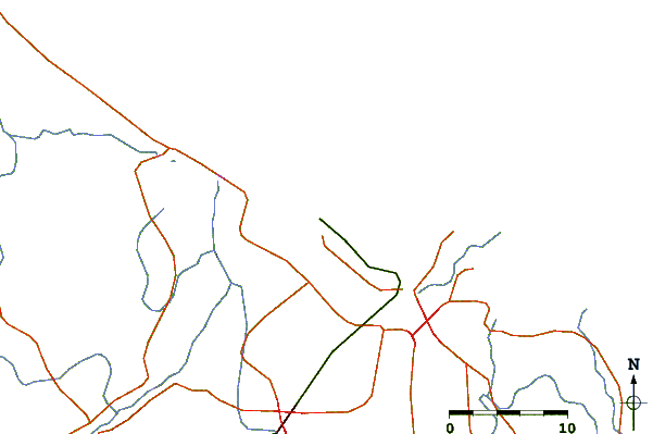
| Contours: | Roads & Rivers: | Select a
tide station / surf break / city |
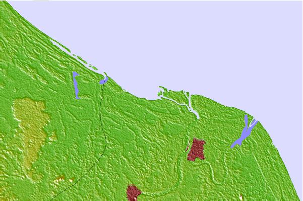
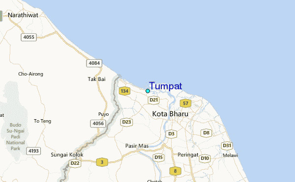
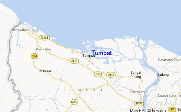
Use this relief map to navigate to tide stations, surf breaks and cities that are in the area of Tumpat.
Other Nearby Locations' tide tables and tide charts to Tumpat:
click location name for more details
 Surf breaks close to Tumpat:
|
||
|---|---|---|
| Closest surf break | Batu Buruk | 90 mi |
| Second closest surf break | Kelulut (Marang) | 102 mi |
| Third closest surf break | Songkhla - Fulerayem Point | 129 mi |
| Fourth closest surf break | Kijal | 157 mi |
| Fifth closest surf break | Cherating | 167 mi |

 Nearest
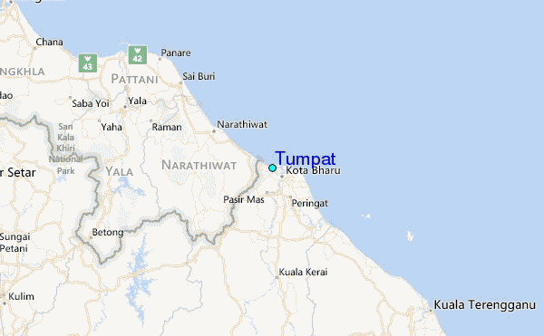