
| Distance / Altitude | Location | Report Date / Time | Live Weather | Wind | Gusts | Temp. | Visibility | Cloud |
|---|---|---|---|---|---|---|---|---|
| 88 km WSW / 99 m | JayapuraSentani (Indonesia) | 2024-04-28 01:00 local (2024/04/27 15:00 GMT) | Intermittent light rain | calm (4 km/h at 1) | 27°C | 10.0 | few mostly cloudy - | |
| 297 km W / 3 m | SarmiMararena (Indonesia) | 2024-04-28 01:00 local (2024/04/27 15:00 GMT) | Intermittent light rain | light winds from the E (7 km/h at 90) | 27°C | 26 km | overcast | |
| 302 km SW / 1511 m | Wamena (Indonesia (maluku And Irian Jaya)) | 2024-04-28 01:00 local (2024/04/27 15:00 GMT) | Mist | calm (2 km/h at 360) | 18°C | 3.0 km | overcast | |
| 394 km S / 125 m | Tanah Merah (Indonesia (maluku And Irian Jaya)) | 2024-04-28 01:00 local (2024/04/27 15:00 GMT) | - | calm (0 km/h at 0) | 26°C | 28 km | mostly cloudy | |
| 531 km SW / 31 m | Mozes Kilangin Airport- Timika (Indonesia) | 2024-04-28 01:00 local (2024/04/27 15:00 GMT) | Dry and partly cloudy | calm (4 km/h at 320) | 27°C | 6.0 | broken broken - |
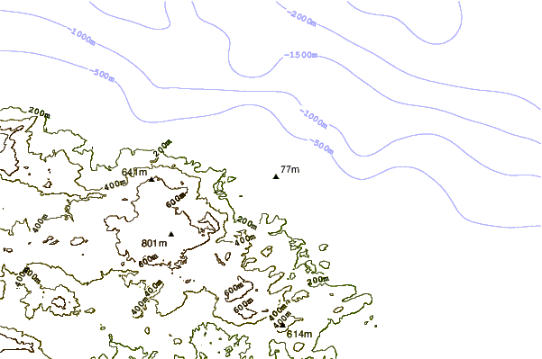
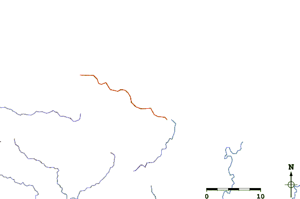
| Contours: | Roads & Rivers: | Select a
tide station / surf break / city |
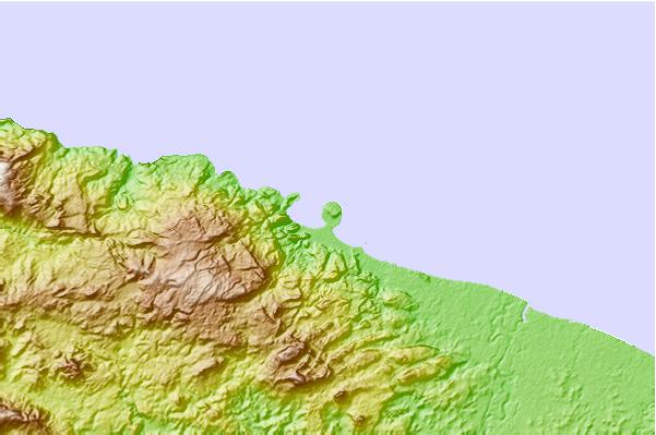
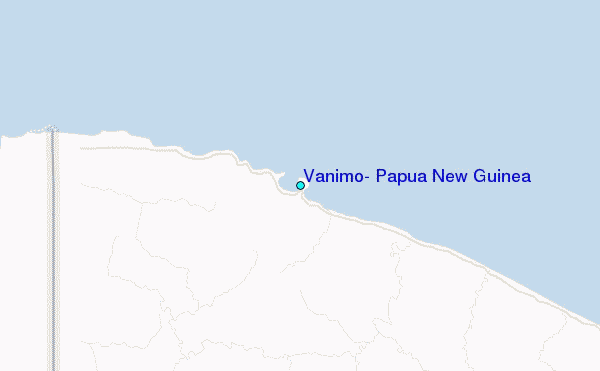
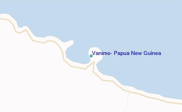
Use this relief map to navigate to tide stations, surf breaks and cities that are in the area of Vanimo, Papua New Guinea.
Other Nearby Locations' tide tables and tide charts to Vanimo, Papua New Guinea:
click location name for more details
 Surf breaks close to Vanimo, Papua New Guinea:
|
||
|---|---|---|
| Closest surf break | Jailbreak | 1 mi |
| Second closest surf break | Logs | 1 mi |
| Third closest surf break | Vanimo Reef | 1 mi |
| Fourth closest surf break | Narimu and Buro Reefs | 2 mi |
| Fifth closest surf break | Lidos Left | 6 mi |

 Nearest
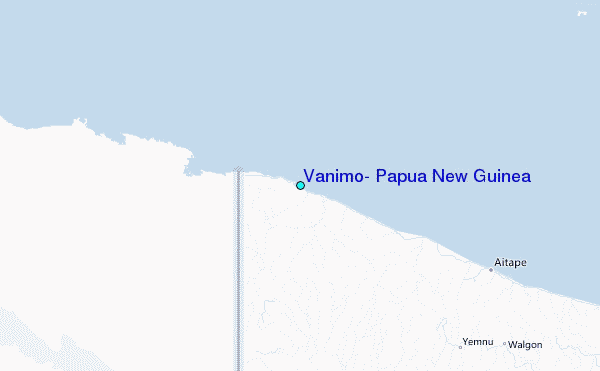