
| Distance / Altitude | Location | Report Date / Time | Live Weather | Wind | Gusts | Temp. | Visibility | Cloud |
|---|---|---|---|---|---|---|---|---|
| 21 km SSE / 214 m | Egilsstadir Airport (Iceland) | 2024-04-30 11:00 local (2024/04/30 11:00 GMT) | Dry and cloudy | moderate winds from the N (28 km/h at 10) | 3°C | 10.0 | broken overcast | |
| 36 km NW / 48 m | Skjaldthingsstad Airport (Iceland) | 2024-04-30 10:00 local (2024/04/30 10:00 GMT) | Dry and partly cloudy | moderate winds from the NNE (24 km/h at 20) | 3°C | 10.0 | few broken | |
| 47 km ESE / 11 m | Dalatangi (4097 -0) (Iceland) | 2024-04-30 11:00 local (2024/04/30 11:00 GMT) | no report | fresh winds from the N (35 km/h at 360) | 3°C | 70 | - | |
| 50 km NE / 3 m | SHIP1766 (Marine) | 2024-04-30 11:00 local (2024/04/30 11:00 GMT) | - (- km/h at -) | — | - | |||
| 94 km NW / 20 m | Thorshofn Airport (Iceland) | 2024-04-30 11:00 local (2024/04/30 11:00 GMT) | Mist - | light winds from the N (13 km/h at 10) | 1°C | 3.0 | overcast |
| Contours: | Roads & Rivers: | Select a
tide station / surf break / city |
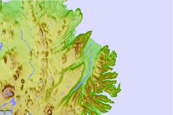
Use this relief map to navigate to tide stations, surf breaks and cities that are in the area of Vopnafjörður, Iceland.
Other Nearby Locations' tide tables and tide charts to Vopnafjorour, Iceland:
click location name for more details
 Surf breaks close to Vopnafjorour, Iceland:
|
||
|---|---|---|
| Closest surf break | Eyvik | 91 mi |
| Second closest surf break | Þorlákshöfn or Porlackshofn | 231 mi |
| Third closest surf break | Grotta | 239 mi |
| Fourth closest surf break | Hafnarfjordur | 241 mi |
| Fifth closest surf break | Garur | 259 mi |

 Nearest