
| Distance / Altitude | Location | Report Date / Time | Live Weather | Wind | Gusts | Temp. | Visibility | Cloud |
|---|---|---|---|---|---|---|---|---|
| 144 km N / 113 m | ResoluteUa-NU (Canada) | 2024-04-27 14:00 local (2024/04/27 18:00 GMT) | Diamond dust | light winds from the SSE (7 km/h at 150) | -21°C | 50 km | few | |
| 145 km N / 139 m | Resolute (Canada) | 2024-04-27 14:00 local (2024/04/27 18:00 GMT) | - | light winds from the SSE (6 km/h at 160) | -21°C | - | no observation | |
| 145 km N / 216 m | Resolute Airport (N.w. Territories) | 2024-04-27 14:00 local (2024/04/27 18:00 GMT) | Ice crystals | light winds from the SE (7 km/h at 140) | -21°C | 32 | few | |
| 145 km N / 30 m | Resolute CS Airport (Nunavut) | 2024-04-27 14:00 local (2024/04/27 18:00 GMT) | Diamond dust | light winds from the SSE (7 km/h at 150) | -21°C | 50 km | - few - | |
| 165 km SSE / 10 m | FortRoss-NU (Canada) | 2024-04-27 14:00 local (2024/04/27 18:00 GMT) | - | moderate winds from the N (20 km/h at 10) | -21°C | - | no observation |
| Contours: | Roads & Rivers: | Select a
tide station / surf break / city |
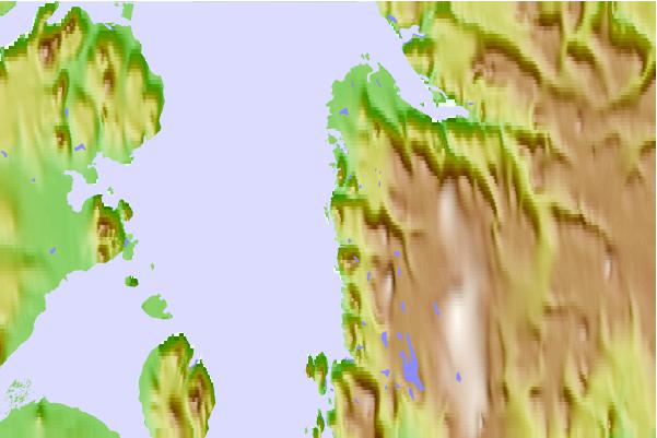
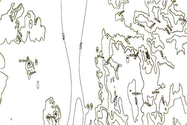
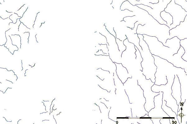
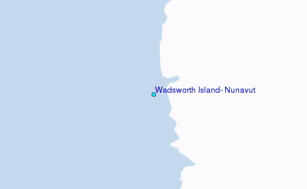
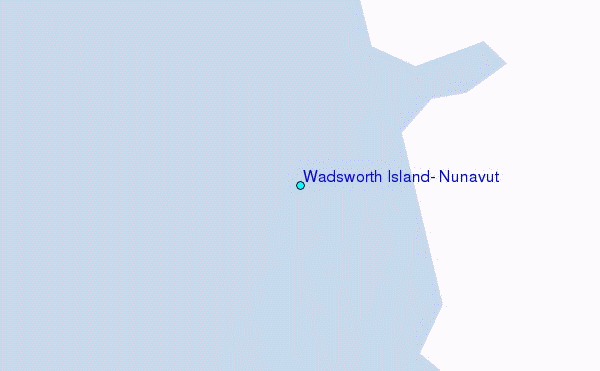
Use this relief map to navigate to tide stations, surf breaks and cities that are in the area of Wadsworth Island, Nunavut.
Other Nearby Locations' tide tables and tide charts to Wadsworth Island, Nunavut:
click location name for more details
 Surf breaks close to Wadsworth Island, Nunavut:
|
||
|---|---|---|
| Closest surf break | Graveyards | 1494 mi |
| Second closest surf break | Ocean Cape | 1495 mi |
| Third closest surf break | Cannon Beach | 1496 mi |
| Fourth closest surf break | Bird Point (Tidal Bore) | 1655 mi |
| Fifth closest surf break | Tow Hill Beach | 1683 mi |

 Nearest
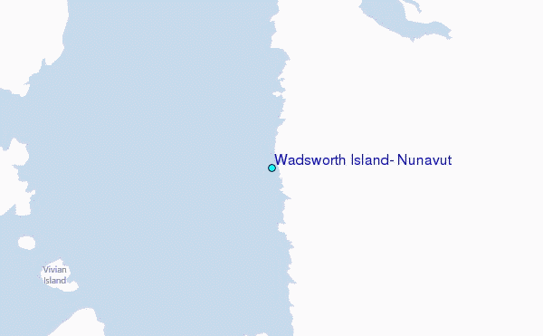