
| Distance / Altitude | Location | Report Date / Time | Live Weather | Wind | Gusts | Temp. | Visibility | Cloud |
|---|---|---|---|---|---|---|---|---|
| 17 km WNW / 216 m | Barking Sands/Kauai Airport (Hawaii) | 2024-04-26 23:51 local (2024/04/27 09:51 GMT) | - | light winds from the E (6 km/h at 90) | 23°C | 16 | few | |
| 33 km E / 3 m | BUOY-NWWH1 (Marine) | 2024-04-27 00:48 local (2024/04/27 10:48 GMT) | fresh winds from the E (32 km/h at 80) | 23°C | - | |||
| 33 km ENE / 122 m | Wailua Homesteads wx (United States) | 2024-04-27 00:17 local (2024/04/27 10:17 GMT) | dry | calm (2 km/h at 112) | 21°C | - | - - 0 | |
| 33 km E / 32 m | Lihue-Kauai-Hawaii (United States) | 2024-04-26 23:00 local (2024/04/27 09:00 GMT) | - | fresh winds from the ENE (30 km/h at 70) | 23°C | 36 km | overcast | |
| 35 km E / 218 m | Lihue/Kauai Island Airport (Hawaii) | 2024-04-27 00:39 local (2024/04/27 10:39 GMT) | Dry and cloudy | moderate winds from the E (26 km/h at 90) | 23°C | 14 | few broken overcast |
| Contours: | Roads & Rivers: | Select a
tide station / surf break / city |
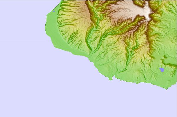
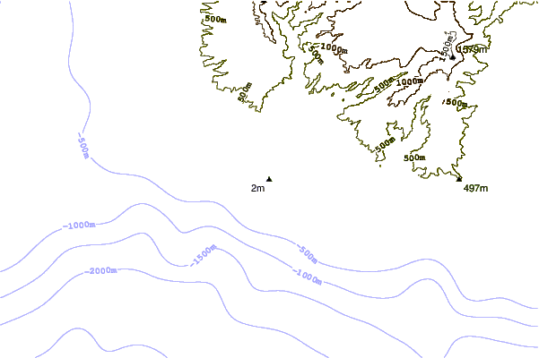
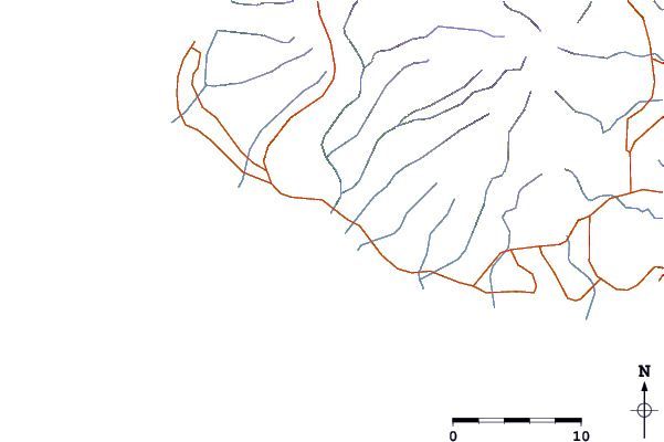
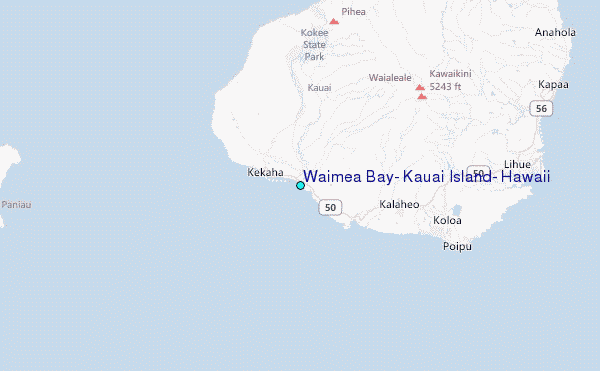
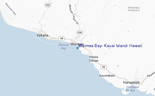
Use this relief map to navigate to tide stations, surf breaks and cities that are in the area of Waimea Bay, Kauai Island, Hawaii.
Other Nearby Locations' tide tables and tide charts to Waimea Bay, Kauai Island, Hawaii:
click location name for more details
 Surf breaks close to Waimea Bay, Kauai Island, Hawaii:
|
||
|---|---|---|
| Closest surf break | Waimea Rivermouth | 0 mi |
| Second closest surf break | Infinities | 2 mi |
| Third closest surf break | Pakalas | 2 mi |
| Fourth closest surf break | Davidson Point | 4 mi |
| Fifth closest surf break | Majors Bay | 10 mi |

 Nearest
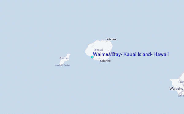