
| Distance / Altitude | Location | Report Date / Time | Live Weather | Wind | Gusts | Temp. | Visibility | Cloud |
|---|---|---|---|---|---|---|---|---|
| 5 km SSW / 7 m | Cape Whittle- Que (Canada) | 2024-04-29 13:00 local (2024/04/29 17:00 GMT) | no report | fresh winds from the NNE (29 km/h at 20) | 6°C | - | - | |
| 41 km NE / 198 m | Chevery Airport (Quebec) | 2024-04-29 13:00 local (2024/04/29 17:00 GMT) | - | moderate winds from the N (22 km/h at 350) | 6°C | 0.0 | ||
| 127 km WSW / 12 m | Natashquan- Que (Canada) | 2024-04-29 13:00 local (2024/04/29 17:00 GMT) | no report | moderate winds from the W (22 km/h at 270) | 10°C | - | - | |
| 129 km WSW / 218 m | Natashquan Airport (Quebec) | 2024-04-29 13:25 local (2024/04/29 17:25 GMT) | Dry and cloudy | moderate winds from the NW (26 km/h at 320) | 12°C | 14 | broken overcast | |
| 169 km ESE / 68 m | Rocky Harbour- Nfld (Canada) | 2024-04-29 13:00 local (2024/04/29 17:00 GMT) | no report | light winds from the N (7 km/h at 360) | 5°C | - | - |
| Contours: | Roads & Rivers: | Select a
tide station / surf break / city |
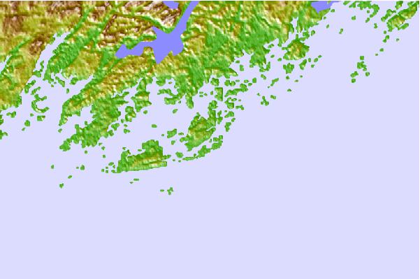
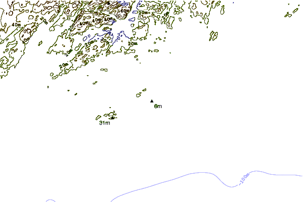
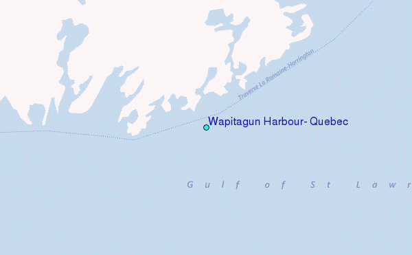
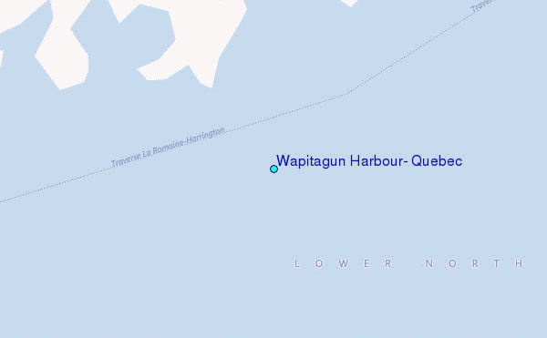
Use this relief map to navigate to tide stations, surf breaks and cities that are in the area of Wapitagun Harbour, Quebec.
Other Nearby Locations' tide tables and tide charts to Wapitagun Harbour, Quebec:
click location name for more details
 Surf breaks close to Wapitagun Harbour, Quebec:
|
||
|---|---|---|
| Closest surf break | Ingonish Beach | 247 mi |
| Second closest surf break | Kennington Cove | 299 mi |
| Third closest surf break | Michaud Point | 322 mi |
| Fourth closest surf break | Martinique | 408 mi |
| Fifth closest surf break | Lawrencetown Left Point | 415 mi |

 Nearest
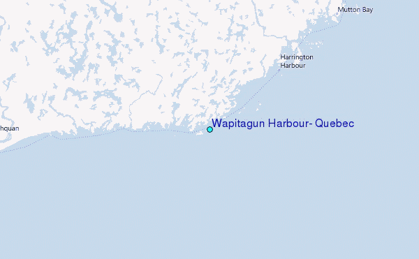