
| Distance / Altitude | Location | Report Date / Time | Live Weather | Wind | Gusts | Temp. | Visibility | Cloud |
|---|---|---|---|---|---|---|---|---|
| 133 km E / 15 m | ASCATB145E3S (Marine) | 2024-05-02 09:10 local (2024/05/01 23:10 GMT) | moderate winds from the ESE (24 km/h at 103) | — | - km | |||
| 195 km NE / 15 m | ASCATB145E2S (Marine) | 2024-05-02 09:10 local (2024/05/01 23:10 GMT) | light winds from the SE (6 km/h at 136) | — | - km | |||
| 210 km ESE / 15 m | ASCATB145E4S (Marine) | 2024-05-02 09:10 local (2024/05/01 23:10 GMT) | moderate winds from the SSE (25 km/h at 167) | — | - km | |||
| 220 km E / 15 m | ASCATB146E3S (Marine) | 2024-05-02 09:10 local (2024/05/01 23:10 GMT) | light winds from the ESE (19 km/h at 115) | — | - km | |||
| 248 km ENE / 15 m | ASCATB146E2S (Marine) | 2024-05-02 09:10 local (2024/05/01 23:10 GMT) | calm (4 km/h at 198) | — | - km |
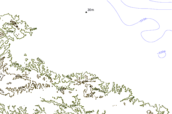
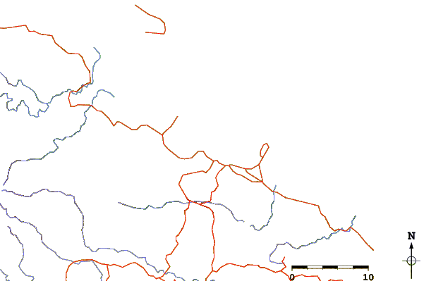
| Contours: | Roads & Rivers: | Select a
tide station / surf break / city |
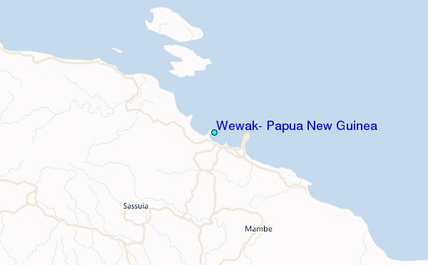
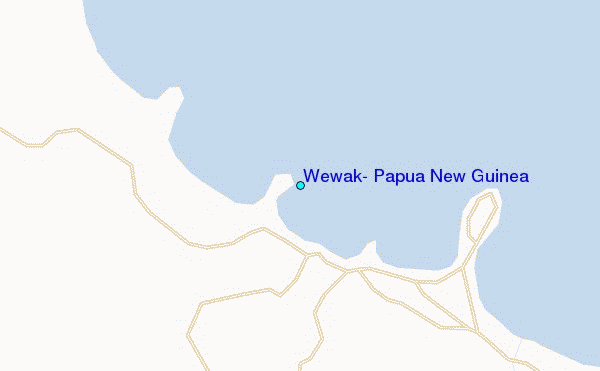
Use this relief map to navigate to tide stations, surf breaks and cities that are in the area of Wewak, Papua New Guinea.
Other Nearby Locations' tide tables and tide charts to Wewak, Papua New Guinea:
click location name for more details
 Surf breaks close to Wewak, Papua New Guinea:
|
||
|---|---|---|
| Closest surf break | Wewak Point | 0 mi |
| Second closest surf break | The Wharf (Mission Point) | 2 mi |
| Third closest surf break | Moem Point | 4 mi |
| Fourth closest surf break | Cape Barabar | 9 mi |
| Fifth closest surf break | Forok Point | 10 mi |

 Nearest
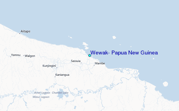