
| Distance / Altitude | Location | Report Date / Time | Live Weather | Wind | Gusts | Temp. | Visibility | Cloud |
|---|---|---|---|---|---|---|---|---|
| 40 km S / 53 m | Peawanuck Airport (Canada) | 2024-04-29 01:00 local (2024/04/29 05:00 GMT) | no report | light winds from the ESE (7 km/h at 120) | -9°C | 14 | - - - | |
| 182 km W / 16 m | Fort Severn Airport (Ontario) | 2024-04-29 00:00 local (2024/04/29 04:00 GMT) | no report | light winds from the SSE (11 km/h at 160) | -7°C | 14 | scattered - - | |
| 314 km SE / 9 m | Attawapiskat Airport (Canada) | 2024-04-29 00:00 local (2024/04/29 04:00 GMT) | Clear | light winds from the NE (11 km/h at 50) | -7°C | 14 | ||
| 349 km SW / 696 m | Big Trout Lake Airport (Ontario) | 2024-04-29 00:00 local (2024/04/29 04:00 GMT) | Clear | light winds from the SE.(Wind varies from 100 to 160 degs) (11 km/h at 130) | -2°C | 14 | ||
| 350 km SW / 224 m | Big Trout Lake- Ont (Canada) | 2024-04-28 23:00 local (2024/04/29 03:00 GMT) | no report | light winds from the ESE (11 km/h at 110) | -1°C | - | - no observation - |
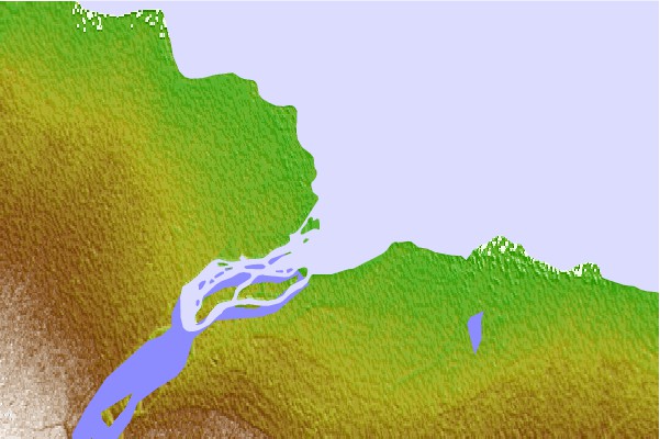
| Contours: | Roads & Rivers: | Select a
tide station / surf break / city |

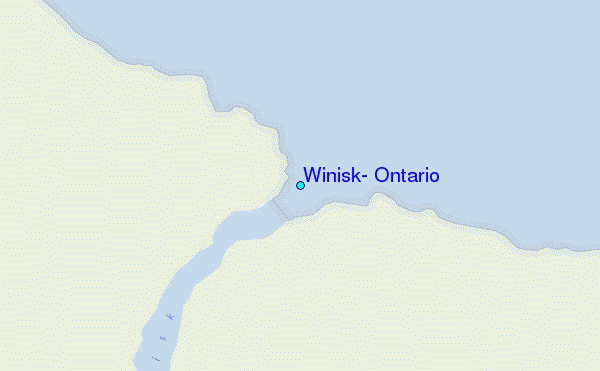
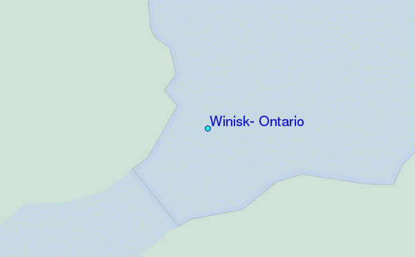
Use this relief map to navigate to tide stations, surf breaks and cities that are in the area of Winisk, Ontario.
Other Nearby Locations' tide tables and tide charts to Winisk, Ontario:
click location name for more details
 Surf breaks close to Winisk, Ontario:
|
||
|---|---|---|
| Closest surf break | Marathon | 457 mi |
| Second closest surf break | Keweenaw Peninsula | 557 mi |
| Third closest surf break | Alona Bay | 562 mi |
| Fourth closest surf break | Au Sable Point | 597 mi |
| Fifth closest surf break | Grand Marias | 597 mi |

 Nearest
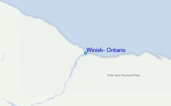