
| Distance / Altitude | Location | Report Date / Time | Live Weather | Wind | Gusts | Temp. | Visibility | Cloud |
|---|---|---|---|---|---|---|---|---|
| 160 km ENE / 12 m | Rae Point (Nunavut) | 2024-05-02 11:00 local (2024/05/02 17:00 GMT) | - | calm (4 km/h at 50) | -15°C | 0.0 | ||
| 160 km ENE / 15 m | ReaPoint-NU (Canada) | 2024-05-02 12:00 local (2024/05/02 18:00 GMT) | - | calm (0 km/h at 0) | -13°C | - | no observation | |
| 201 km ESE / 1 m | Stefansson Island (Canada) | 2024-05-02 12:00 local (2024/05/02 18:00 GMT) | - | light winds from the SE (15 km/h at 130) | — | - | no observation | |
| 202 km ESE / 11 m | Stefansson Island Airport (Nunavut) | 2024-05-02 11:00 local (2024/05/02 17:00 GMT) | - | light winds from the SE (15 km/h at 140) | — | 0.0 | ||
| 284 km WSW / 32 m | AulavikNationalPark- Nwt (Canada) | 2024-05-02 12:00 local (2024/05/02 18:00 GMT) | - | light winds from the S (13 km/h at 190) | -14°C | - | no observation |
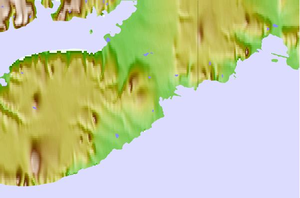
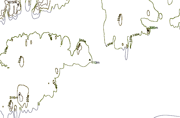
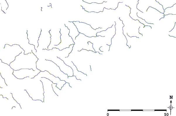
| Contours: | Roads & Rivers: | Select a
tide station / surf break / city |
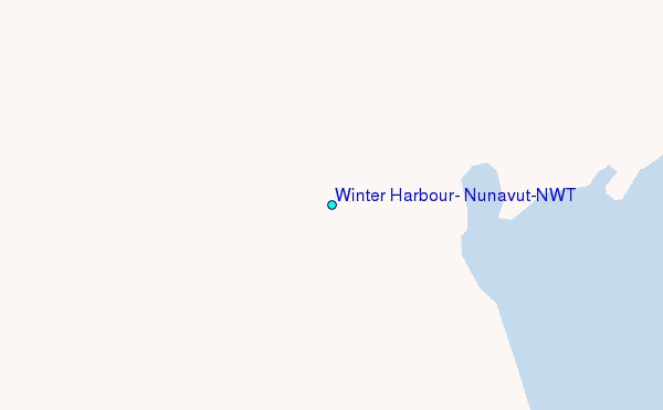
Use this relief map to navigate to tide stations, surf breaks and cities that are in the area of Winter Harbour, Nunavut/NWT.
Other Nearby Locations' tide tables and tide charts to Winter Harbour, Nunavut/NWT:
click location name for more details
 Surf breaks close to Winter Harbour, Nunavut/NWT:
|
||
|---|---|---|
| Closest surf break | Graveyards | 1282 mi |
| Second closest surf break | Ocean Cape | 1283 mi |
| Third closest surf break | Cannon Beach | 1284 mi |
| Fourth closest surf break | Bird Point (Tidal Bore) | 1392 mi |
| Fifth closest surf break | Tow Hill Beach | 1542 mi |

 Nearest
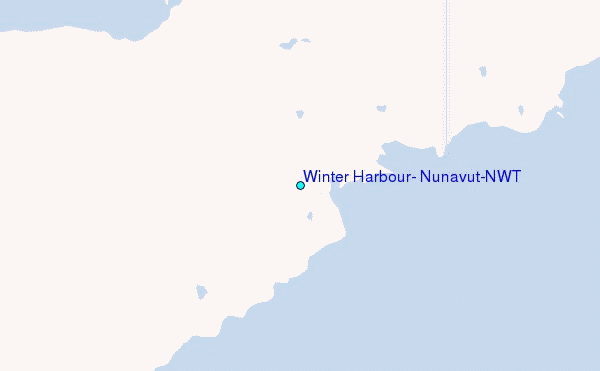