
| Distance / Altitude | Location | Report Date / Time | Live Weather | Wind | Gusts | Temp. | Visibility | Cloud |
|---|---|---|---|---|---|---|---|---|
| 221 km S / 215 m | Coral Harbour Airport (N.w. Territories) | 2024-05-02 02:00 local (2024/05/02 06:00 GMT) | Dry and partly cloudy | moderate winds from the ENE (24 km/h at 70) | -9°C | 24 | broken | |
| 221 km S / 22 m | Coral Harbour Airport (Canada) | 2024-05-02 02:00 local (2024/05/02 06:00 GMT) | no report | moderate winds from the ENE (22 km/h at 70) | -9°C | 44 km | - mostly cloudy - | |
| 287 km WSW / 18 m | Wager Bay (Aut)- NU (Canada) | 2024-05-02 02:13 local (2024/05/02 06:13 GMT) | no report | light winds from the E (15 km/h at 80) | -8°C | - | - no observation - | |
| 287 km WSW / 18 m | Wager Bay (Nunavut) | 2024-05-02 02:00 local (2024/05/02 06:00 GMT) | - | light winds from the E (15 km/h at 80) | -8°C | 0.0 | ||
| 300 km NNE / 210 m | Hall Beach Airport (N.w. Territories) | 2024-05-02 02:13 local (2024/05/02 06:13 GMT) | Light snow | light winds from the S (6 km/h at 170) | -12°C | 14 | overcast |
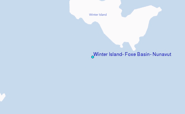
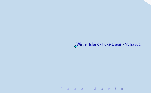
Choose Winter Island, Foxe Basin, Nunavut Location Map Zoom:
| Contours: | Roads & Rivers: | Select a
tide station / surf break / city |
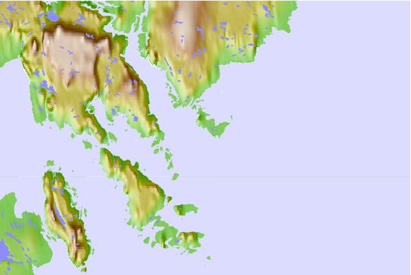
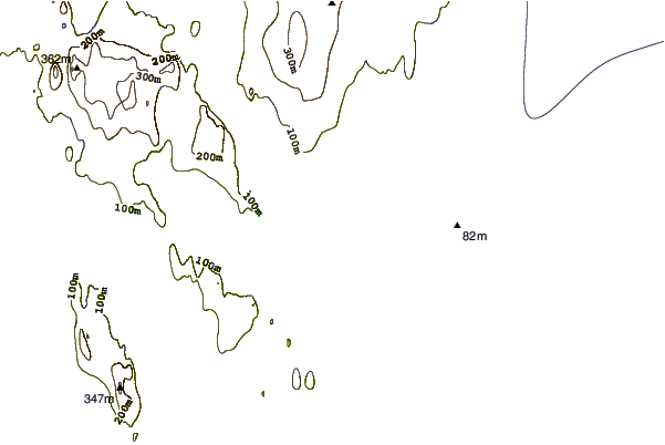
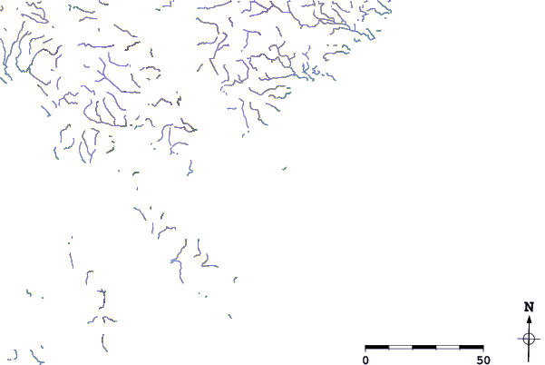
Use this relief map to navigate to tide stations, surf breaks and cities that are in the area of Winter Island, Foxe Basin, Nunavut.
Other Nearby Locations' tide tables and tide charts to Winter Island, Foxe Basin, Nunavut:
click location name for more details
 Surf breaks close to Winter Island, Foxe Basin, Nunavut:
|
||
|---|---|---|
| Closest surf break | Marathon | 1213 mi |
| Second closest surf break | Keweenaw Peninsula | 1307 mi |
| Third closest surf break | Alona Bay | 1316 mi |
| Fourth closest surf break | Apostle Islands | 1348 mi |
| Fifth closest surf break | Ontonagon | 1352 mi |

 Nearest
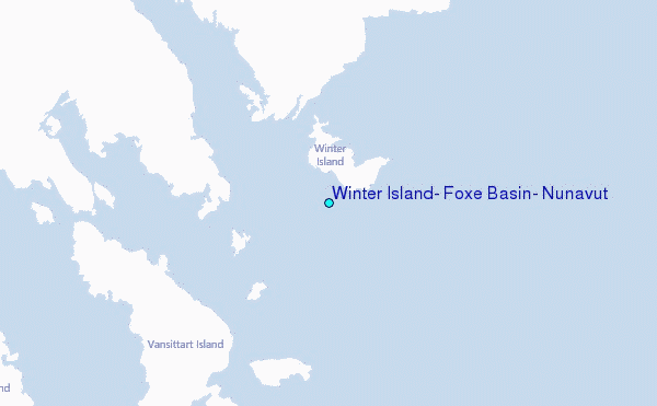