
| Distance / Altitude | Location | Report Date / Time | Live Weather | Wind | Gusts | Temp. | Visibility | Cloud |
|---|---|---|---|---|---|---|---|---|
| 24 km S / 221 m | Banyuwangi (Indonesia) | 2024-05-06 16:00 local (2024/05/06 09:00 GMT) | - | light winds from the S (19 km/h at 180) | 29°C | 30 km | scattered | |
| 118 km SE / 216 m | Bali International Airport (Indonesia) | 2024-05-06 15:30 local (2024/05/06 08:30 GMT) | - | moderate winds from the ESE (22 km/h at 120) | 30°C | 10.0 | few | |
| 118 km NW / 3 m | Kalianget(MaduraIs) (Indonesia) | 2024-05-06 16:00 local (2024/05/06 09:00 GMT) | - | light winds from the SE (7 km/h at 140) | 31°C | 30 km | - scattered - | |
| 120 km SE / 1 m | DenpasarNgurahRai (Indonesia) | 2024-05-06 16:00 local (2024/05/06 09:00 GMT) | - | light winds from the ESE (19 km/h at 120) | 29°C | 30 km | scattered | |
| 191 km W / 2 m | Juanda Airport (Indonesia) | 2024-05-06 16:00 local (2024/05/06 09:00 GMT) | - | light winds from the ENE (17 km/h at 60) | 32°C | 30 km | few scattered - |
| Contours: | Roads & Rivers: | Select a
tide station / surf break / city |
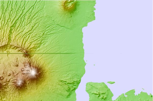
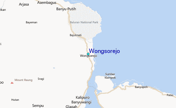
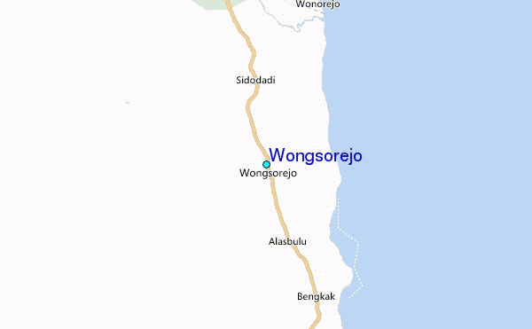
Use this relief map to navigate to tide stations, surf breaks and cities that are in the area of Wongsorejo.
Other Nearby Locations' tide tables and tide charts to Wongsorejo:
click location name for more details
 Surf breaks close to Wongsorejo:
|
||
|---|---|---|
| Closest surf break | Medewi | 42 mi |
| Second closest surf break | Tanjung Kucur | 45 mi |
| Third closest surf break | Grajagan Bay/G-Land | 50 mi |
| Fourth closest surf break | Balian | 52 mi |
| Fifth closest surf break | Canggu | 68 mi |

 Nearest
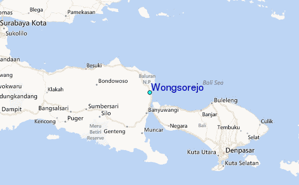