
| Distance / Altitude | Location | Report Date / Time | Live Weather | Wind | Gusts | Temp. | Visibility | Cloud |
|---|---|---|---|---|---|---|---|---|
| 56 km N / 1 m | Alert (Canada) | 2024-05-02 05:00 local (2024/05/02 09:00 GMT) | - | calm (4 km/h at 110) | -11°C | - | no observation | |
| 58 km N / 198 m | Alert Airport (N.w. Territories) | 2024-05-02 05:00 local (2024/05/02 09:00 GMT) | Light snow | calm (4 km/h at 90) | -11°C | 13 | broken broken | |
| 435 km NE / 4 m | Kap Morris Jesup (Greenland) | 2024-05-02 05:00 local (2024/05/02 09:00 GMT) | no report | light winds from the W (15 km/h at 280) | -9°C | - | - | |
| 468 km SW / 198 m | Eureka Airport (N.w. Territories) | 2024-05-02 05:00 local (2024/05/02 09:00 GMT) | - | moderate winds from the ESE (24 km/h at 110) | -19°C | 24 | few | |
| 469 km SW / 65 m | EurekaClimate (Canada) | 2024-05-02 05:00 local (2024/05/02 09:00 GMT) | - | moderate winds from the ESE (24 km/h at 110) | -19°C | 44 km | - clear - |
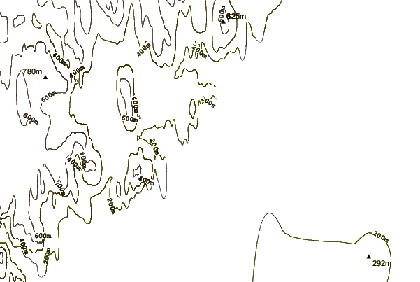
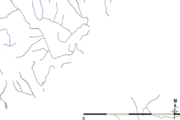
| Contours: | Roads & Rivers: | Select a
tide station / surf break / city |
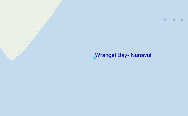
Use this relief map to navigate to tide stations, surf breaks and cities that are in the area of Wrangel Bay, Nunavut.
Other Nearby Locations' tide tables and tide charts to Wrangel Bay, Nunavut:
click location name for more details
 Surf breaks close to Wrangel Bay, Nunavut:
|
||
|---|---|---|
| Closest surf break | Eyvik | 1319 mi |
| Second closest surf break | Grotta | 1408 mi |
| Third closest surf break | Garur | 1409 mi |
| Fourth closest surf break | Hafnarfjordur | 1416 mi |
| Fifth closest surf break | Hafnir | 1419 mi |

 Nearest
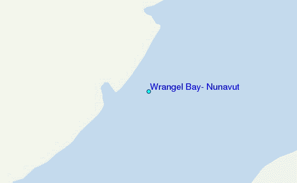