
| Distance / Altitude | Location | Report Date / Time | Live Weather | Wind | Gusts | Temp. | Visibility | Cloud |
|---|---|---|---|---|---|---|---|---|
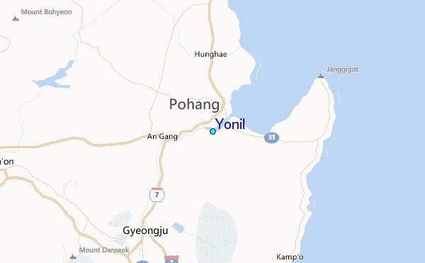
| 5 km NE / 240 m | Pohang (South Korea) | 2024-05-04 07:00 local (2024/05/03 22:00 GMT) | no report | light winds from the SW (9 km/h at 230) | 13°C | 40 km | - clear - | |
| 49 km S / 241 m | Ulsan (South Korea) | 2024-05-04 07:00 local (2024/05/03 22:00 GMT) | no report | calm (2 km/h at 0) | 12°C | 43 km | - clear - | |
| 61 km NE / 15 m | SHIP925 (Marine) | 2024-05-04 06:00 local (2024/05/03 21:00 GMT) | light winds from the SSW (10.8 km/h at 210) | 17°C | - km | |||
| 61 km NE / 3 m | BUOY-22106 South Korea (Marine) | 2024-05-04 07:00 local (2024/05/03 22:00 GMT) | light winds from the SSW (7 km/h at 210) | 18°C | - | |||
| 64 km WSW / 201 m | Taegu Airport (Korea) | 2024-05-04 06:00 local (2024/05/03 21:00 GMT) | - | calm (2 km/h at 100) | — | 0.0 |
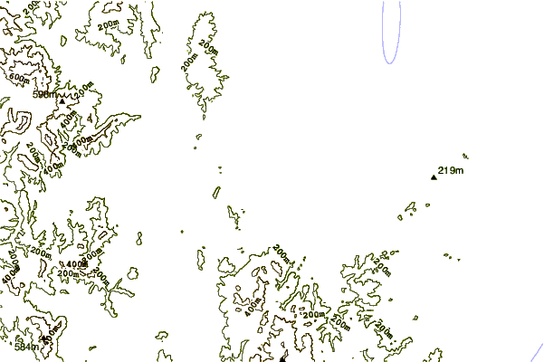
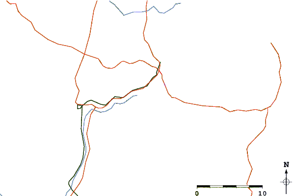
| Contours: | Roads & Rivers: | Select a
tide station / surf break / city |
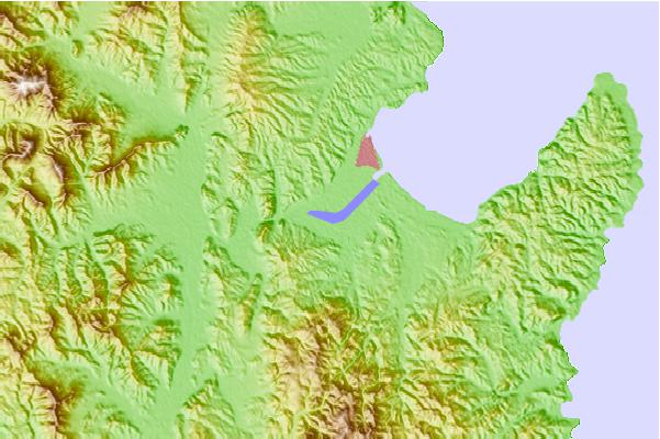
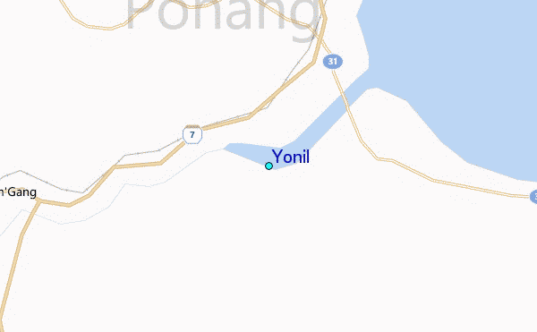
Use this relief map to navigate to tide stations, surf breaks and cities that are in the area of Yonil.
Other Nearby Locations' tide tables and tide charts to Yonil:
click location name for more details
 Surf breaks close to Yonil:
|
||
|---|---|---|
| Closest surf break | Busan (Haeundae Beach) | 58 mi |
| Second closest surf break | Gyongpo Beach | 128 mi |
| Third closest surf break | Jumunjin | 134 mi |
| Fourth closest surf break | Ingu Beach | 142 mi |
| Fifth closest surf break | 38 Line | 143 mi |

 Nearest
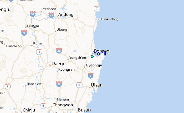