
| Distance / Altitude | Location | Report Date / Time | Live Weather | Wind | Gusts | Temp. | Visibility | Cloud |
|---|---|---|---|---|---|---|---|---|
| 3 km S / 3 m | BUOY-ACYN4 (Marine) | 2026-05-29 12:00 local (2026/05/29 16:00 GMT) | - (- km/h at -) | 23°C | - | |||
| 16 km WNW / 217 m | Atlantic City Airport (New Jersey) | 2026-05-29 10:54 local (2026/05/29 14:54 GMT) | Clear | light winds from the NNW (19 km/h at 330) | 23°C | 16 | ||
| 17 km N / 3 m | BUOY-JCRN4 (Marine) | 2026-05-29 11:30 local (2026/05/29 15:30 GMT) | light winds from the WNW (9 km/h at 290) | 22°C | - | |||
| 57 km WSW / 218 m | Millville Airport (New Jersey) | 2026-05-29 10:54 local (2026/05/29 14:54 GMT) | Clear | light winds from the N (15 km/h at 350) | 22°C | 16 | ||
| 59 km SSW / 396 m | Wildwood Airport (New Jersey) | 2026-05-29 10:56 local (2026/05/29 14:56 GMT) | Clear | light winds from the WNW (15 km/h at 290) | 21°C | 16 | ||
| 62 km N / 25 m | Toms River (New jersey) | 2026-05-29 10:56 local (2026/05/29 14:56 GMT) | - | moderate winds from the NW (26 km/h at 310) | 22°C | 16 | few | |
| 65 km SSW / 3 m | BUOY-CMAN4 (Marine) | 2026-05-29 12:00 local (2026/05/29 16:00 GMT) | light winds from the W (18 km/h at 280) | 19°C | - | |||
| 65 km NNE / 4 m | Seaside Park- NJ (United States) | 2026-05-29 12:00 local (2026/05/29 16:00 GMT) | - | light winds from the S (13 km/h at 185) | 22°C | - | - - 0 | |
| 70 km NW / 218 m | Mount Holly Airport (New Jersey) | 2026-05-29 11:54 local (2026/05/29 15:54 GMT) | Clear | light winds from the NW (17 km/h at 320) | 22°C | 16 | ||
| 71 km NE / 3 m | Barnegat- NJ (Marine) | 2026-05-29 12:00 local (2026/05/29 16:00 GMT) | - (- km/h at -) | 16°C | - |
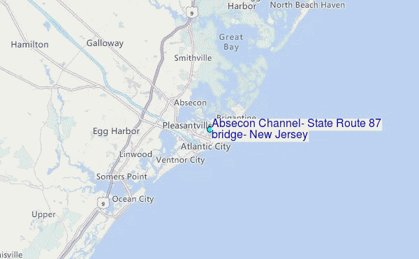
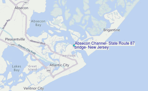
Choose Absecon Channel, State Route 87 bridge, New Jersey Location Map Zoom:
| Contours: | Roads & Rivers: | Select a
tide station / surf break / city |
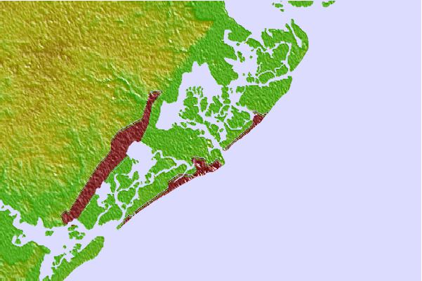
Use this relief map to navigate to tide stations, surf breaks and cities that are in the area of Absecon Channel, State Route 87 bridge, New Jersey.
Other Nearby Locations' tide tables and tide charts to Absecon Channel, State Route 87 bridge, New Jersey:
click location name for more details
 Surf breaks close to Absecon Channel, State Route 87 bridge, New Jersey:
|
||
|---|---|---|
| Closest surf break | The Jetty | 1 mi |
| Second closest surf break | Crystals | 2 mi |
| Third closest surf break | The South Jetty | 2 mi |
| Fourth closest surf break | 38th St Beach | 2 mi |
| Fifth closest surf break | States Avenue (Gas Chambers) | 3 mi |


 Nearest
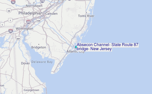