
| Distance / Altitude | Location | Report Date / Time | Live Weather | Wind | Gusts | Temp. | Visibility | Cloud |
|---|---|---|---|---|---|---|---|---|
| 255 km WSW / 264 m | Quaqtaq Airport (Quebec) | 2026-02-13 02:06 local (2026/02/13 07:06 GMT) | Mist - | light winds from the E (17 km/h at 100) | -8°C | 1 | overcast | |
| 325 km NW / 217 m | Frobisher/Iqaluit Airport (N.w. Territories) | 2026-02-13 03:00 local (2026/02/13 08:00 GMT) | Light snow | calm (0 km/h at 0) | -18°C | 24 | scattered broken | |
| 326 km NW / 14 m | Iqaluit (Canada) | 2026-02-13 04:00 local (2026/02/13 09:00 GMT) | - | calm (4 km/h at 330) | -17°C | - | no observation | |
| 361 km SSE / 82 m | Saglek Airport (Canada) | 2026-02-13 04:00 local (2026/02/13 09:00 GMT) | - | wind obs. (57 kph from 90 degs) was rejected (- km/h at -) | — | - | no observation | |
| 410 km S / 123 m | Kuujjuaq- Ua- Que (Canada) | 2026-02-13 04:00 local (2026/02/13 09:00 GMT) | - | calm (0 km/h at 0) | -18°C | 44 km | - mostly cloudy - | |
| 412 km S / 216 m | Kuujjuaq Airport (Quebec) | 2026-02-13 03:00 local (2026/02/13 08:00 GMT) | Dry and partly cloudy | light winds from the NW (6 km/h at 310) | -17°C | 24 | scattered | |
| 468 km WSW / 503 m | Parc National Des Pingualuit- Que (Canada) | 2026-02-13 03:00 local (2026/02/13 08:00 GMT) | - | wind obs. (22 kph from 240 degs) was rejected (- km/h at -) | — | - | - | |
| 536 km N / 23 m | Pangnirtung-NU (Canada) | 2026-02-13 04:00 local (2026/02/13 09:00 GMT) | - | light winds from the NNE (6 km/h at 30) | -16°C | - | no observation | |
| 566 km SSE / 7 m | Nain A- Nfld (Canada) | 2026-02-13 04:00 local (2026/02/13 09:00 GMT) | - | fresh winds from the NNE (37 km/h at 20) | -1°C | 44 km | - overcast - | |
| 568 km SSE / 472 m | Nain Airport (Newfoundland) | 2026-02-13 04:00 local (2026/02/13 09:00 GMT) | Dry and cloudy | fresh winds from the NNE (35 km/h at 20) | -1°C | 24 | few overcast |
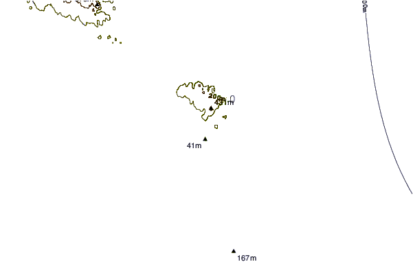
| Contours: | Roads & Rivers: | Select a
tide station / surf break / city |

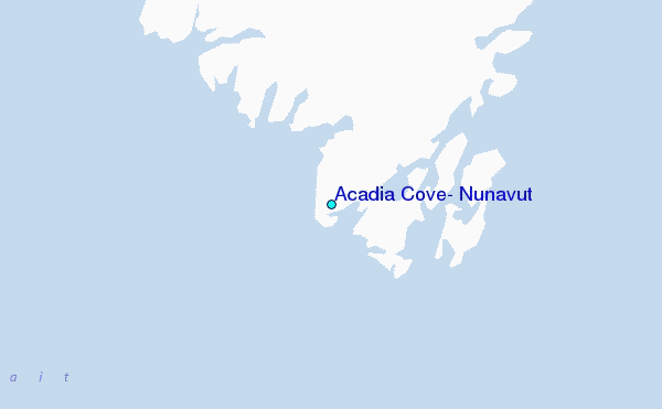
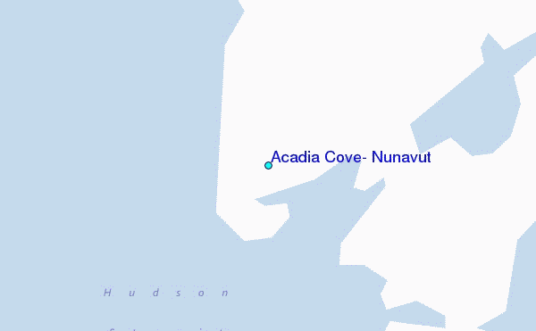
Use this relief map to navigate to tide stations, surf breaks and cities that are in the area of Acadia Cove, Nunavut.
Other Nearby Locations' tide tables and tide charts to Acadia Cove, Nunavut:
click location name for more details
 Surf breaks close to Acadia Cove, Nunavut:
|
||
|---|---|---|
| Closest surf break | Ingonish Beach | 1033 mi |
| Second closest surf break | Kennington Cove | 1088 mi |
| Third closest surf break | Michaud Point | 1104 mi |
| Fourth closest surf break | Martinique | 1154 mi |
| Fifth closest surf break | Lawrencetown Reef | 1157 mi |


 Nearest
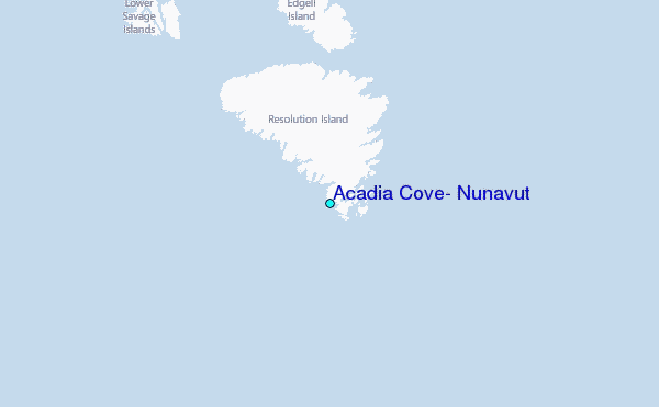