
| Distance / Altitude | Location | Report Date / Time | Live Weather | Wind | Gusts | Temp. | Visibility | Cloud |
|---|---|---|---|---|---|---|---|---|
| 57 km S / 3 m | SHIP9240 (Marine) | 2026-04-09 12:00 local (2026/04/09 19:00 GMT) | - (- km/h at -) | — | - | |||
| 65 km N / 26 m | Cathedral Point (Aut)- BC (Canada) | 2026-04-09 12:00 local (2026/04/09 19:00 GMT) | no report | wind obs. (14 kph from 240 degs) was rejected (- km/h at -) | — | - | - | |
| 65 km N / 32 m | Cathedral Pt(map (British columbia) | 2026-04-09 12:00 local (2026/04/09 19:00 GMT) | - | fresh winds from the NE (30 km/h at 50) | 8°C | 0.0 | - - - | |
| 74 km S / 13 m | Herbert Island (Aut)- BC (Canada) | 2026-04-09 12:00 local (2026/04/09 19:00 GMT) | no report | light winds from the W (14 km/h at 280) | 11°C | - | - no observation - | |
| 76 km S / 216 m | Herbert Island Airport (British Columbia) | 2026-04-09 12:00 local (2026/04/09 19:00 GMT) | - | calm (4 km/h at 190) | 10°C | 0.0 | ||
| 67 km S / 15 m | SHIP4475 (Marine) | 2026-04-09 11:00 local (2026/04/09 18:00 GMT) | - (- km/h at -) | — | - km | |||
| 67 km S / 3 m | SHIP8741 (Marine) | 2026-04-09 11:00 local (2026/04/09 18:00 GMT) | - (- km/h at -) | — | - | |||
| 67 km S / 15 m | SHIP3492 (Marine) | 2026-04-09 12:00 local (2026/04/09 19:00 GMT) | light winds from the S (9.360000000000001 km/h at 180) | — | - km | |||
| 74 km S / 13 m | Herbert Island (Aut)- BC (Canada) | 2026-04-09 12:00 local (2026/04/09 19:00 GMT) | no report | light winds from the W (14 km/h at 280) | 11°C | - | - no observation - | |
| 76 km S / 216 m | Herbert Island Airport (British Columbia) | 2026-04-09 12:00 local (2026/04/09 19:00 GMT) | - | calm (4 km/h at 190) | 10°C | 0.0 |
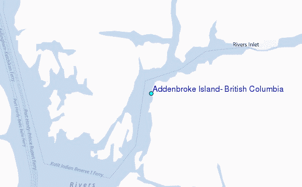
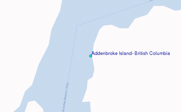
Choose Addenbroke Island, British Columbia Location Map Zoom:
| Contours: | Roads & Rivers: | Select a
tide station / surf break / city |
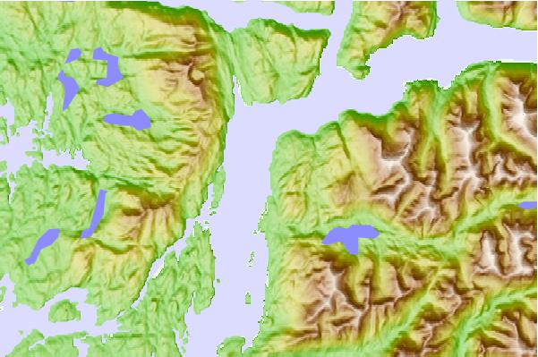
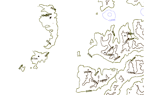
Use this relief map to navigate to tide stations, surf breaks and cities that are in the area of Addenbroke Island, British Columbia.
Other Nearby Locations' tide tables and tide charts to Addenbroke Island, British Columbia:
click location name for more details
 Surf breaks close to Addenbroke Island, British Columbia:
|
||
|---|---|---|
| Closest surf break | Nootka Island (Calvin Bay) | 137 mi |
| Second closest surf break | Tofino (North Chestermans Beach) | 186 mi |
| Third closest surf break | South Chesterman Beach | 186 mi |
| Fourth closest surf break | Rosie's Bay | 186 mi |
| Fifth closest surf break | Cox Bay | 187 mi |


 Nearest
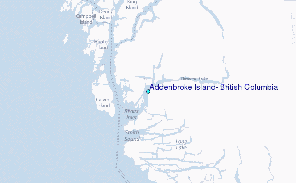