
| Distance / Altitude | Location | Report Date / Time | Live Weather | Wind | Gusts | Temp. | Visibility | Cloud |
|---|---|---|---|---|---|---|---|---|
| 224 km SSE / 123 m | Kuujjuaq-Ua-Que (Canada) | 2026-05-26 23:00 local (2026/05/27 03:00 GMT) | Rain | light winds from the NNW (13 km/h at 340) | 5°C | 44 km | - overcast - | |
| 226 km SSE / 216 m | Kuujjuaq Airport (Quebec) | 2026-05-26 22:07 local (2026/05/27 02:07 GMT) | Light rain | light winds from the NNW (13 km/h at 340) | 7°C | 24 | overcast | |
| 261 km WNW / 503 m | Parc National Des Pingualuit- Que (Canada) | 2026-05-26 23:00 local (2026/05/27 03:00 GMT) | no report | wind obs. (22 kph from 240 degs) was rejected (- km/h at -) | -1°C | - | - | |
| 301 km SSW / 171 m | Riviere Aux Feuilles- Que (Canada) | 2026-05-26 23:00 local (2026/05/27 03:00 GMT) | no report | wind obs. (40 kph from 260 degs) was rejected (- km/h at -) | 4°C | - | - | |
| 420 km N / 14 m | Iqaluit (Canada) | 2026-05-26 23:00 local (2026/05/27 03:00 GMT) | no report | calm (4 km/h at 150) | 2°C | - | - no observation - | |
| 421 km N / 217 m | Frobisher/Iqaluit Airport (N.w. Territories) | 2026-05-26 22:00 local (2026/05/27 02:00 GMT) | Dry and cloudy | light winds from the SE (15 km/h at 130) | 1°C | 48 | few overcast | |
| 422 km WSW / 339 m | Puvirnituq Airport (Quebec) | 2026-05-26 22:00 local (2026/05/27 02:00 GMT) | Clear | light winds from the NE (13 km/h at 50) | 3°C | 14 | ||
| 448 km ESE / 82 m | Saglek Airport (Canada) | 2026-05-26 23:00 local (2026/05/27 03:00 GMT) | - | calm (4 km/h at 230) | 7°C | - | no observation | |
| 449 km ESE / 207 m | Saglek (bay) Airport (Newfoundland) | 2026-05-26 22:00 local (2026/05/27 02:00 GMT) | - | wind obs. (7 kph from 140 degs) was rejected (- km/h at -) | 8°C | 0 | ||
| 511 km SW / 217 m | Inukjuak Airport (Quebec) | 2026-05-26 23:00 local (2026/05/27 03:00 GMT) | no report | light winds from the NNE (19 km/h at 20) | 2°C | 36 km | scattered clear - |
| Contours: | Roads & Rivers: | Select a
tide station / surf break / city |
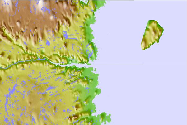
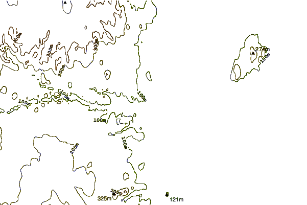
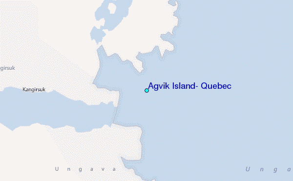
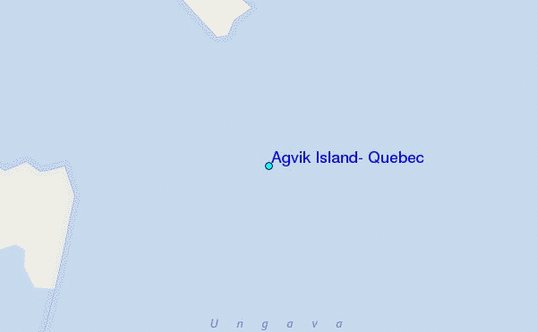
Use this relief map to navigate to tide stations, surf breaks and cities that are in the area of Agvik Island, Quebec.
Other Nearby Locations' tide tables and tide charts to Agvik Island, Quebec:
click location name for more details
 Surf breaks close to Agvik Island, Quebec:
|
||
|---|---|---|
| Closest surf break | Ingonish Beach | 999 mi |
| Second closest surf break | Marathon | 1028 mi |
| Third closest surf break | Kennington Cove | 1054 mi |
| Fourth closest surf break | Michaud Point | 1065 mi |
| Fifth closest surf break | Alona Bay | 1076 mi |


 Nearest
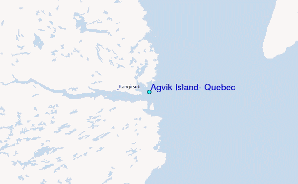