
| Distance / Altitude | Location | Report Date / Time | Live Weather | Wind | Gusts | Temp. | Visibility | Cloud |
|---|---|---|---|---|---|---|---|---|
| 1 km ENE / 99 m | Kebon Cengkeh wx (Indonesia) | 2026-05-16 09:05 local (2026/05/16 00:05 GMT) | - | calm (0 km/h at 0) | — | - | - - 0 | |
| 10 km ESE / 1 m | Leahari wx (Indonesia) | 2026-05-16 08:25 local (2026/05/15 23:25 GMT) | - | - (- km/h at ) | 32°C | - | - - 0 | |
| 11 km SW / 12 m | AmbonPattimura (Indonesia) | 2026-05-16 09:00 local (2026/05/16 00:00 GMT) | - | calm (4 km/h at 10) | 30°C | 30 km | mostly cloudy | |
| 13 km WSW / 12 m | Ambon-Pattimura (Indonesia) | 2026-05-16 08:30 local (2026/05/15 23:30 GMT) | - | calm (2 km/h at 1) | 28°C | 10.0 | few | |
| 346 km NW / 3 m | LabuhaOesmanSadik (Indonesia) | 2026-05-16 09:00 local (2026/05/16 00:00 GMT) | - | light winds from the NNE (6 km/h at 30) | 29°C | 29 km | scattered | |
| 368 km ENE / 0 m | lightning 151km S of Sorong (Indonesia) | 2026-05-16 07:47 local (2026/05/15 22:47 GMT) | Thunderstorm | (- km/h at -) | — | |||
| 463 km NE / 3 m | DeoSorong (Indonesia) | 2026-05-16 09:00 local (2026/05/16 00:00 GMT) | - | calm (4 km/h at 200) | 30°C | 29 km | scattered | |
| 507 km N / 23 m | TernateBabullah (Indonesia) | 2026-05-16 09:00 local (2026/05/16 00:00 GMT) | - | wind obs. (7 kph from 90 degs) was rejected (- km/h at -) | 28°C | 30 km | scattered | |
| 551 km ESE / 12 m | TualDumatubun (Indonesia) | 2026-05-16 09:00 local (2026/05/16 00:00 GMT) | State of sky unchanged | light winds from the ESE (7 km/h at 120) | 29°C | 29 km | mostly cloudy | |
| 588 km SE / 24 m | SaumlakiOlilit (Indonesia) | 2026-05-16 09:00 local (2026/05/16 00:00 GMT) | - | light winds from the ESE (15 km/h at 110) | 29°C | 28 km | scattered |
| Contours: | Roads & Rivers: | Select a
tide station / surf break / city |
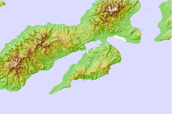
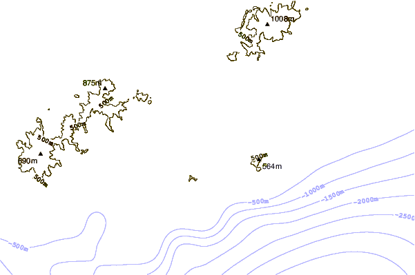
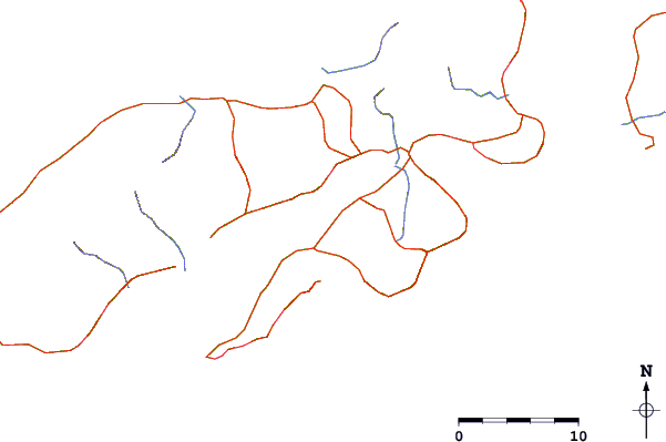
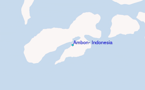
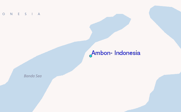
Use this relief map to navigate to tide stations, surf breaks and cities that are in the area of Ambon, Indonesia.
Other Nearby Locations' tide tables and tide charts to Ambon, Indonesia:
click location name for more details
 Surf breaks close to Ambon, Indonesia:
|
||
|---|---|---|
| Closest surf break | Digger | 440 mi |
| Second closest surf break | Nembrala | 521 mi |
| Third closest surf break | Do'o | 618 mi |
| Fourth closest surf break | Boa | 620 mi |
| Fifth closest surf break | T-Land | 620 mi |


 Nearest
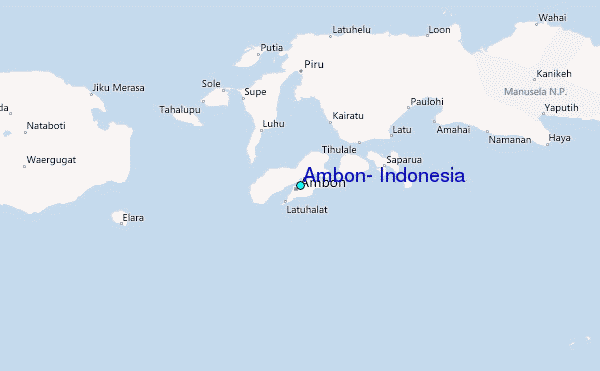