
| Distance / Altitude | Location | Report Date / Time | Live Weather | Wind | Gusts | Temp. | Visibility | Cloud |
|---|---|---|---|---|---|---|---|---|
| 10 km ESE / 1 m | Leahari wx (Indonesia) | 2026-07-10 04:17 local (2026/07/09 19:17 GMT) | - | - (- km/h at ) | 27°C | - | - - 0 | |
| 13 km WSW / 12 m | Ambon-Pattimura (Indonesia) | 2026-07-10 03:30 local (2026/07/09 18:30 GMT) | Dry and partly cloudy | calm (4 km/h at 200) | 25°C | 10.0 | scattered | |
| 274 km NNE / 15 m | SHIP2749 (Marine) | 2026-07-10 03:00 local (2026/07/09 18:00 GMT) | calm (3.6 km/h at 160) | — | - km | |||
| 652 km NE / 0 m | lightning 144km WNW of Manokwari (Indonesia) | 2026-07-10 04:03 local (2026/07/09 19:03 GMT) | Thunderstorm | (- km/h at -) | — | |||
| 683 km NW / 374 m | Menado/Sam Ratulangi International Airport (Indonesia) | 2026-07-10 03:30 local (2026/07/09 18:30 GMT) | - | light winds from the S (11 km/h at 170) | 28°C | 10.0 | few | |
| 443 km NW / 15 m | SHIP3419 (Marine) | 2026-07-10 03:00 local (2026/07/09 18:00 GMT) | strong winds from the SSE (44.64 km/h at 160) | 26°C | 17.7 km | |||
| 443 km NW / 15 m | SHIP6356 (Marine) | 2026-07-10 03:00 local (2026/07/09 18:00 GMT) | strong winds from the SSE (44.64 km/h at 160) | 26°C | 17.7 km | |||
| 651 km NE / 0 m | lightning 144km WNW of Manokwari (Indonesia) | 2026-07-10 04:03 local (2026/07/09 19:03 GMT) | Thunderstorm | (- km/h at -) | — | |||
| 680 km NW / 374 m | Menado/Sam Ratulangi International Airport (Indonesia) | 2026-07-10 03:30 local (2026/07/09 18:30 GMT) | - | light winds from the S (11 km/h at 170) | 28°C | 10.0 | few | |
| 873 km SSW / 102 m | El Tari International Airport (Kupang) (Indonesia) | 2026-07-10 03:30 local (2026/07/09 18:30 GMT) | Dry and partly cloudy | light winds from the ESE (11 km/h at 110) | 24°C | 10.0 | no cloud - - |
| Contours: | Roads & Rivers: | Select a
tide station / surf break / city |
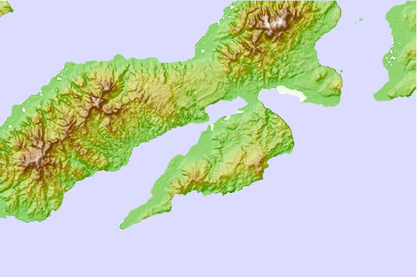
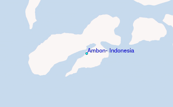
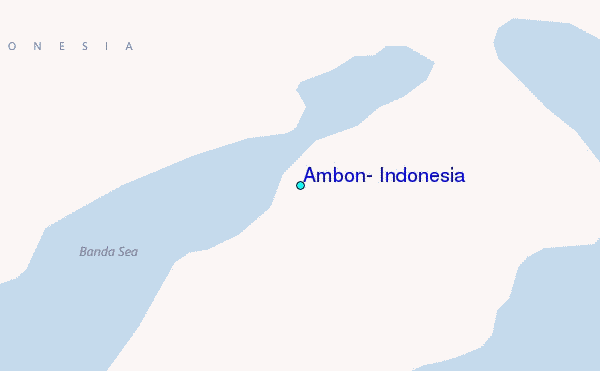
Use this relief map to navigate to tide stations, surf breaks and cities that are in the area of Ambon, Indonesia.
Other Nearby Locations' tide tables and tide charts to Ambon, Indonesia:
click location name for more details
 Surf breaks close to Ambon, Indonesia:
|
||
|---|---|---|
| Closest surf break | Digger | 440 mi |
| Second closest surf break | Nembrala | 521 mi |
| Third closest surf break | Do'o | 618 mi |
| Fourth closest surf break | Boa | 620 mi |
| Fifth closest surf break | T-Land | 620 mi |


 Nearest
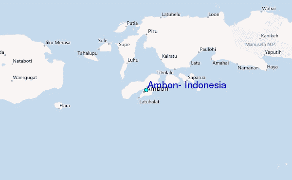