
| Distance / Altitude | Location | Report Date / Time | Live Weather | Wind | Gusts | Temp. | Visibility | Cloud |
|---|---|---|---|---|---|---|---|---|
| 59 km NNE / 74 m | Adeiso-Ndoda (Ghana) | 2026-01-09 00:00 local (2026/01/09 00:00 GMT) | - | calm (0 km/h at 290) | 25°C | - | - - 0 | |
| 117 km NE / 90 m | Somanya USED (Ghana) | 2026-01-09 00:00 local (2026/01/09 00:00 GMT) | - | calm (0 km/h at 133) | 25°C | - | - - 0 | |
| 215 km SW / 15 m | ASCATC358E4N (Marine) | 2026-01-08 22:07 local (2026/01/08 22:07 GMT) | light winds from the NNW (14 km/h at 330) | — | - km | |||
| 232 km S / 15 m | ASCATC358E3N (Marine) | 2026-01-08 22:07 local (2026/01/08 22:07 GMT) | light winds from the S (15 km/h at 183) | — | - km | |||
| 235 km NE / 641 m | Kouma -Konda (Togo) | 2026-01-09 00:00 local (2026/01/09 00:00 GMT) | fog, sky visible, thinning | - (- km/h at -) | 22°C | 700 | - | |
| 240 km ENE / 25 m | Lome (Togo) | 2026-01-09 00:00 local (2026/01/09 00:00 GMT) | no report | light winds from the WSW (11 km/h at 240) | 30°C | 10 | - | |
| 240 km ENE / 25 m | Lome/Tokoin Airport (Togo) | 2026-01-09 00:00 local (2026/01/09 00:00 GMT) | no report | light winds from the WSW (11 km/h at 240) | 30°C | 10 | - | |
| 262 km SW / 15 m | ASCATC357E4N (Marine) | 2026-01-08 22:07 local (2026/01/08 22:07 GMT) | light winds from the NW (11 km/h at 322) | — | - km | |||
| 267 km S / 15 m | ASCATC359E3N (Marine) | 2026-01-08 22:06 local (2026/01/08 22:06 GMT) | light winds from the SSW (12 km/h at 203) | — | - km | |||
| 283 km NW / 329 m | Techiman NOG-Farm (Ghana) | 2026-01-09 00:00 local (2026/01/09 00:00 GMT) | - | calm (2 km/h at 159) | 23°C | - | - - 0 |
| Contours: | Roads & Rivers: | Select a
tide station / surf break / city |
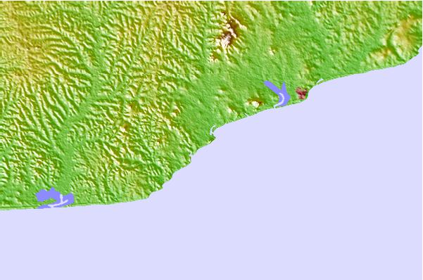
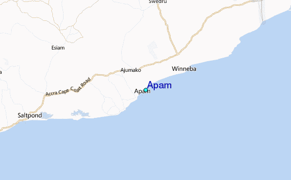
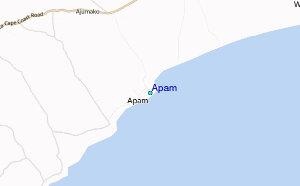
Use this relief map to navigate to tide stations, surf breaks and cities that are in the area of Apam.
Other Nearby Locations' tide tables and tide charts to Apam:
click location name for more details
 Surf breaks close to Apam:
|
||
|---|---|---|
| Closest surf break | Mumford | 2 mi |
| Second closest surf break | St Charles | 9 mi |
| Third closest surf break | Fort Good Hope | 17 mi |
| Fourth closest surf break | Fete | 21 mi |
| Fifth closest surf break | Nyanyanu | 26 mi |


 Nearest
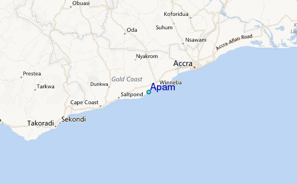