
| Distance / Altitude | Location | Report Date / Time | Live Weather | Wind | Gusts | Temp. | Visibility | Cloud |
|---|---|---|---|---|---|---|---|---|
| 168 km NE / 14 m | Iqaluit (Canada) | 2026-05-26 23:00 local (2026/05/27 03:00 GMT) | no report | calm (4 km/h at 150) | 2°C | - | - no observation - | |
| 170 km NE / 217 m | Frobisher/Iqaluit Airport (N.w. Territories) | 2026-05-26 22:00 local (2026/05/27 02:00 GMT) | Dry and cloudy | light winds from the SE (15 km/h at 130) | 1°C | 48 | few overcast | |
| 213 km SSW / 503 m | Parc National Des Pingualuit- Que (Canada) | 2026-05-26 23:00 local (2026/05/27 03:00 GMT) | no report | wind obs. (22 kph from 240 degs) was rejected (- km/h at -) | -1°C | - | - | |
| 350 km WNW / 217 m | Cape Dorset Airport (N.w. Territories) | 2026-05-26 22:00 local (2026/05/27 02:00 GMT) | Dry and cloudy | light winds from the NE (11 km/h at 40) | 0°C | 14 | overcast | |
| 351 km WNW / 48 m | Cape Dorset A- NU (71366 -0) (Canada) | 2026-05-26 23:00 local (2026/05/27 03:00 GMT) | no report | light winds from the NNE (17 km/h at 30) | 0°C | 34 km | - overcast - | |
| 455 km SSW / 339 m | Puvirnituq Airport (Quebec) | 2026-05-26 22:00 local (2026/05/27 02:00 GMT) | Clear | light winds from the NE (13 km/h at 50) | 3°C | 14 | ||
| 464 km NNE / 23 m | Pangnirtung-NU (Canada) | 2026-05-26 23:00 local (2026/05/27 03:00 GMT) | - | calm (4 km/h at 130) | — | - | - no observation - | |
| 508 km SSE / 123 m | Kuujjuaq-Ua-Que (Canada) | 2026-05-26 23:00 local (2026/05/27 03:00 GMT) | Rain | light winds from the NNW (13 km/h at 340) | 5°C | 44 km | - overcast - | |
| 510 km SSE / 216 m | Kuujjuaq Airport (Quebec) | 2026-05-26 22:07 local (2026/05/27 02:07 GMT) | Light rain | light winds from the NNW (13 km/h at 340) | 7°C | 24 | overcast | |
| 534 km S / 171 m | Riviere Aux Feuilles- Que (Canada) | 2026-05-26 22:00 local (2026/05/27 02:00 GMT) | no report | wind obs. (40 kph from 260 degs) was rejected (- km/h at -) | 4°C | - | - |
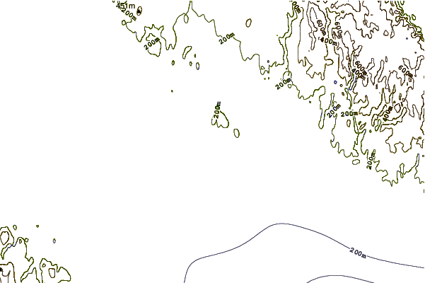
| Contours: | Roads & Rivers: | Select a
tide station / surf break / city |
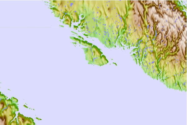
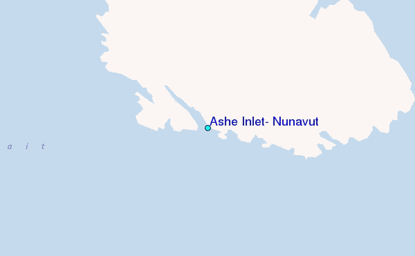
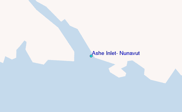
Use this relief map to navigate to tide stations, surf breaks and cities that are in the area of Ashe Inlet, Nunavut.
Other Nearby Locations' tide tables and tide charts to Ashe Inlet, Nunavut:
click location name for more details
 Surf breaks close to Ashe Inlet, Nunavut:
|
||
|---|---|---|
| Closest surf break | Marathon | 1134 mi |
| Second closest surf break | Ingonish Beach | 1170 mi |
| Third closest surf break | Alona Bay | 1197 mi |
| Fourth closest surf break | Kennington Cove | 1225 mi |
| Fifth closest surf break | Michaud Point | 1237 mi |


 Nearest
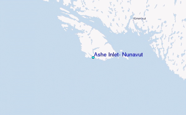