
| Distance / Altitude | Location | Report Date / Time | Live Weather | Wind | Gusts | Temp. | Visibility | Cloud |
|---|---|---|---|---|---|---|---|---|
| 35 km WSW / 216 m | Tayabas (Philippines) | 2026-03-17 23:00 local (2026/03/17 15:00 GMT) | - | light winds from the NE (7 km/h at 40) | — | 8 | - - - | |
| 65 km SW / 6 m | Laiya (Philippines) | 2026-03-18 00:16 local (2026/03/17 16:16 GMT) | dry | - (- km/h at ) | — | - | - - 0 | |
| 86 km WNW / 217 m | Tanay (Philippines) | 2026-03-17 23:00 local (2026/03/17 15:00 GMT) | haze | wind obs. (7 kph from 120 degs) was rejected (- km/h at -) | 26°C | 15 | - | |
| 88 km NW / 7 m | Infanta (Philippines) | 2026-03-17 23:00 local (2026/03/17 15:00 GMT) | state of sky unchanged | wind obs. (7 kph from 320 degs) was rejected (- km/h at -) | 29°C | 18 | - | |
| 93 km WSW / 100 m | Ambulong (Philippines) | 2026-03-17 23:00 local (2026/03/17 15:00 GMT) | - | - (- km/h at -) | — | 18 | - - - | |
| 102 km SSW / 41 m | Calapan (Philippines) | 2026-03-17 23:00 local (2026/03/17 15:00 GMT) | haze | wind obs. (4 kph from 90 degs) was rejected (- km/h at -) | 30°C | 20 | - | |
| 106 km W / 22 m | Sucat (Philippines) | 2026-03-17 23:48 local (2026/03/17 15:48 GMT) | dry | light winds from the SE (6 km/h at 129) | 25°C | - | - - 0 | |
| 110 km W / 26 m | Paranaque (Philippines) | 2026-03-17 22:51 local (2026/03/17 14:51 GMT) | dry | calm (3 km/h at 103) | 26°C | - | - - 0 | |
| 112 km W / 15 m | Ninoy Aquino International Airport (Philippines) | 2026-03-17 23:00 local (2026/03/17 15:00 GMT) | - | light winds from the E (11 km/h at 80) | — | 10 | - - - | |
| 113 km W / 217 m | Ninoy Aquino International Airport (Manila) (Philippines) | 2026-03-17 23:00 local (2026/03/17 15:00 GMT) | Dry and partly cloudy | light winds from the E.(Wind varies from 060 to 140 degs) (6 km/h at 100) | 26°C | 10.0 | few scattered - |
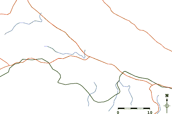
| Contours: | Roads & Rivers: | Select a
tide station / surf break / city |
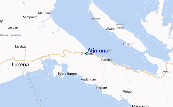
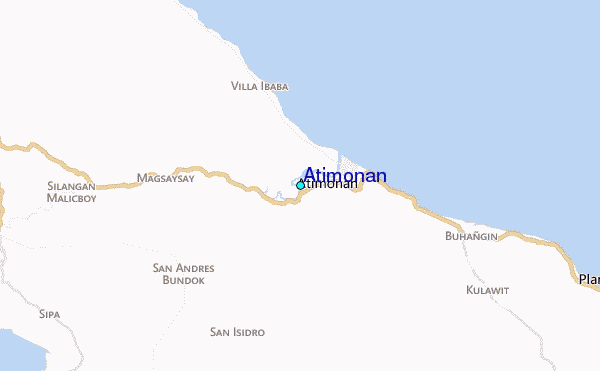
Use this relief map to navigate to tide stations, surf breaks and cities that are in the area of Atimonan.
Other Nearby Locations' tide tables and tide charts to Atimonan:
click location name for more details
 Surf breaks close to Atimonan:
|
||
|---|---|---|
| Closest surf break | Bagasbas Beach | 73 mi |
| Second closest surf break | Cobra Reef - Cemento | 124 mi |
| Third closest surf break | Baler - Sabang | 124 mi |
| Fourth closest surf break | Baler - Charlie's Point | 125 mi |
| Fifth closest surf break | Baler - Lindy's Point | 125 mi |


 Nearest
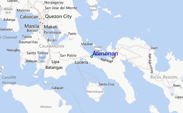