
| Distance / Altitude | Location | Report Date / Time | Live Weather | Wind | Gusts | Temp. | Visibility | Cloud |
|---|---|---|---|---|---|---|---|---|
| 83 km SSW / 155 m | Tuktoyaktuk Airport (N.w. Territories) | 2026-05-26 20:42 local (2026/05/27 02:42 GMT) | Dry and partly cloudy | moderate winds from the ENE (28 km/h at 60) | -1°C | 24 | broken | |
| 85 km SSW / 6 m | Tuktoyaktuk-Nwt (Canada) | 2026-05-26 21:00 local (2026/05/27 03:00 GMT) | no report | light winds from the NNE (7 km/h at 20) | 1°C | - | - no observation - | |
| 153 km SSW / 261 m | Storm Hills Airport (Canada) | 2026-05-26 21:00 local (2026/05/27 03:00 GMT) | no report | - (- km/h at -) | — | - | - - - | |
| 157 km S / 197 m | Trail Valley Airport (N.w. Territories) | 2026-05-26 20:00 local (2026/05/27 02:00 GMT) | - | moderate winds from the NNE (24 km/h at 30) | 3°C | 0.0 | ||
| 159 km S / 85 m | Trail Valley (Canada) | 2026-05-26 21:00 local (2026/05/27 03:00 GMT) | no report | calm (4 km/h at 340) | 3°C | - | - - - | |
| 159 km SW / 17 m | Pelly Island- Nwt (Canada) | 2026-05-26 21:00 local (2026/05/27 03:00 GMT) | no report | wind obs. (11 kph from 290 degs) was rejected (- km/h at -) | -1°C | - | - | |
| 200 km S / 85 m | Inuvik Airport (Northwest Territories) | 2026-05-26 20:00 local (2026/05/27 02:00 GMT) | - | moderate winds from the N (24 km/h at 10) | 9°C | 0.0 | - - - | |
| 200 km S / 85 m | Inuvik (Canada) | 2026-05-26 21:00 local (2026/05/27 03:00 GMT) | - | moderate winds from the NNE (26 km/h at 20) | 8°C | - | no observation | |
| 203 km S / 216 m | Inuvik Airport (N.w. Territories) | 2026-05-26 20:00 local (2026/05/27 02:00 GMT) | Dry and partly cloudy | moderate winds from the N (22 km/h at 360) | 11°C | 24 | few broken broken | |
| 292 km WSW / 1 m | Herschel Island- YT (Canada) | 2026-05-26 21:00 local (2026/05/27 03:00 GMT) | no report | calm (4 km/h at 360) | — | - | - - - |
| Contours: | Roads & Rivers: | Select a
tide station / surf break / city |
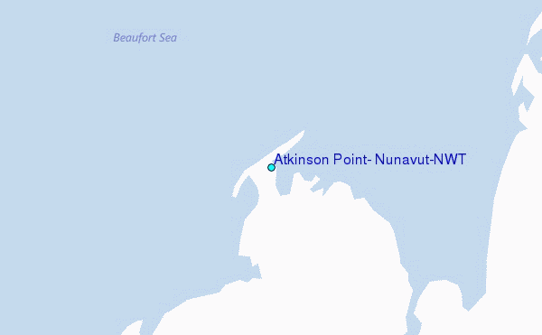
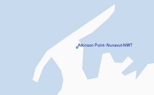
Use this relief map to navigate to tide stations, surf breaks and cities that are in the area of Atkinson Point, Nunavut/NWT.
Other Nearby Locations' tide tables and tide charts to Atkinson Point, Nunavut/NWT:
click location name for more details
 Surf breaks close to Atkinson Point, Nunavut/NWT:
|
||
|---|---|---|
| Closest surf break | Graveyards | 759 mi |
| Second closest surf break | Ocean Cape | 759 mi |
| Third closest surf break | Cannon Beach | 761 mi |
| Fourth closest surf break | Bird Point (Tidal Bore) | 852 mi |
| Fifth closest surf break | Termination Point | 1040 mi |


 Nearest
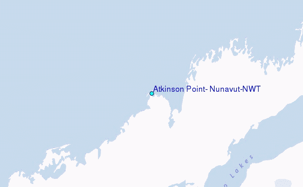