
| Distance / Altitude | Location | Report Date / Time | Live Weather | Wind | Gusts | Temp. | Visibility | Cloud |
|---|---|---|---|---|---|---|---|---|
| 4 km ESE / 11 m | Auki (Solomon Islands) | 2026-03-03 15:00 local (2026/03/03 04:00 GMT) | distant precipitation but not falling at station | calm (4 km/h at 90) | 30°C | 10 | - overcast - | |
| 101 km SSW / 9 m | Honiara/Henderson Airport (Solomon Islands) | 2026-03-03 14:00 local (2026/03/03 03:00 GMT) | Dry and partly cloudy | light winds from the W (11 km/h at 270) | — | 10.0 | scattered few scattered | |
| 108 km SSW / 182 m | Honiara (Solomon Islands) | 2026-03-03 15:00 local (2026/03/03 04:00 GMT) | moderate to heavy rain showers | wind obs. (22 kph from 180 degs) was rejected (- km/h at -) | 24°C | 10 | - | |
| 291 km WSW / 2 m | Penrhyn Island (Samoa) | 2026-03-03 14:00 local (2026/03/03 03:00 GMT) | - | light winds from the WSW (11 km/h at 250) | 29°C | |||
| 315 km S / 15 m | Tingoa (Solomon Islands) | 2026-03-03 14:00 local (2026/03/03 03:00 GMT) | Distant precipitation but not falling at station | light winds from the NW (15 km/h at 320) | 30°C | 20 km | mostly cloudy | |
| 381 km WSW / 6 m | Munda-New Georgia (Solomon Islands) | 2026-03-03 15:00 local (2026/03/03 04:00 GMT) | distant precipitation but not falling at station | calm (0 km/h at 0) | 25°C | 4000 | - overcast - | |
| 529 km W / 3 m | Taro Island (Solomon Islands) | 2026-03-03 15:00 local (2026/03/03 04:00 GMT) | distant precipitation but not falling at station | wind obs. (11 kph from 140 degs) was rejected (- km/h at -) | 26°C | 20 | - | |
| 599 km ESE / 24 m | Santa Cruz Island (Solomon Islands) | 2026-03-03 15:00 local (2026/03/03 04:00 GMT) | light rain showers | light winds from the W (11 km/h at 270) | 26°C | 20 | - scattered - | |
| 708 km SSE / 0 m | lightning (Vanuatu) | 2026-03-03 15:58 local (2026/03/03 04:58 GMT) | Thunderstorm | (- km/h at -) | — | |||
| 727 km WSW / 15 m | SHIP2529 (Marine) | 2026-03-03 14:00 local (2026/03/03 03:00 GMT) | light winds from the N (18.36 km/h at 360) | — | 17.7 km |
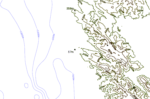
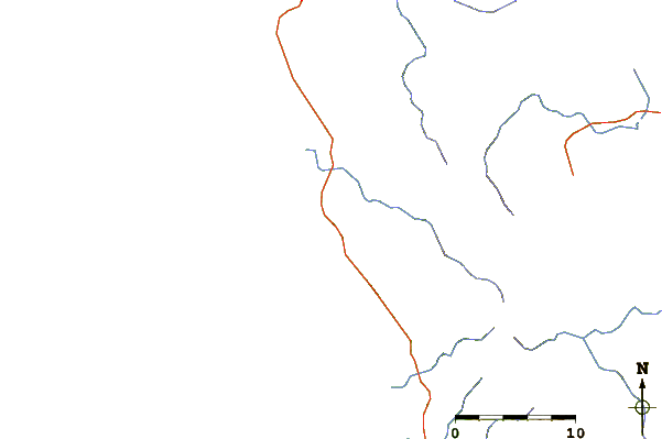
| Contours: | Roads & Rivers: | Select a
tide station / surf break / city |
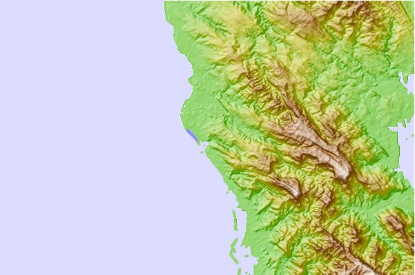
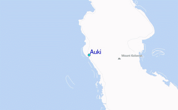
Use this relief map to navigate to tide stations, surf breaks and cities that are in the area of Auki.
Other Nearby Locations' tide tables and tide charts to Auki:
click location name for more details
 Surf breaks close to Auki:
|
||
|---|---|---|
| Closest surf break | Coves | 237 mi |
| Second closest surf break | Kundu Kundu | 239 mi |
| Third closest surf break | Lavata | 240 mi |
| Fourth closest surf break | Mbirimbiri | 242 mi |
| Fifth closest surf break | Skull Island | 244 mi |


 Nearest
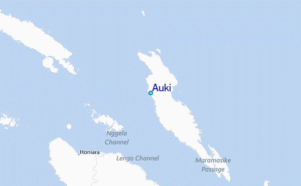