
| Distance / Altitude | Location | Report Date / Time | Live Weather | Wind | Gusts | Temp. | Visibility | Cloud |
|---|---|---|---|---|---|---|---|---|
| 48 km S / 3 m | SHIP1837 (Marine) | 2025-12-18 09:00 local (2025/12/18 13:00 GMT) | strong winds from the WNW (45 km/h at 290) | -8°C | - | |||
| 53 km SSW / 198 m | Chevery Airport (Quebec) | 2025-12-18 10:00 local (2025/12/18 14:00 GMT) | - | light winds from the W (19 km/h at 260) | -8°C | 0.0 | ||
| 54 km SSW / 8 m | Chevery-Que (Canada) | 2025-12-18 11:00 local (2025/12/18 15:00 GMT) | - | wind obs. (14 kph from 200 degs) was rejected (- km/h at -) | — | - | - no observation - | |
| 99 km SSW / 7 m | CapeWhittle-Que (Canada) | 2025-12-18 11:00 local (2025/12/18 15:00 GMT) | - | fresh winds from the W (36 km/h at 270) | — | - | - no observation - | |
| 138 km ENE / 6 m | FerollePoint(Aut)- Nfld (Canada) | 2025-12-18 11:00 local (2025/12/18 15:00 GMT) | - | wind obs. (50 kph from 200 degs) was rejected (- km/h at -) | — | - | - no observation - | |
| 48 km S / 3 m | SHIP3757 (Marine) | 2025-12-18 09:00 local (2025/12/18 13:00 GMT) | strong winds from the WNW (45 km/h at 290) | -8°C | - | |||
| 48 km S / 15 m | SHIP6939 (Marine) | 2025-12-18 09:00 local (2025/12/18 13:00 GMT) | strong winds from the WNW (44.64 km/h at 290) | 2°C | - km | |||
| 48 km S / 3 m | SHIP6246 (Marine) | 2025-12-18 10:00 local (2025/12/18 14:00 GMT) | fresh winds from the WNW (33 km/h at 290) | -8°C | - | |||
| 48 km S / 3 m | SHIP6643 (Marine) | 2025-12-18 10:00 local (2025/12/18 14:00 GMT) | fresh winds from the WNW (33 km/h at 290) | -8°C | - | |||
| 48 km S / 15 m | SHIP2664 (Marine) | 2025-12-18 09:00 local (2025/12/18 13:00 GMT) | strong winds from the WNW (44.64 km/h at 290) | 2°C | - km |
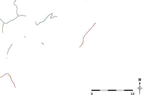
| Contours: | Roads & Rivers: | Select a
tide station / surf break / city |
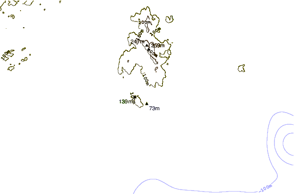
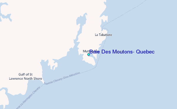
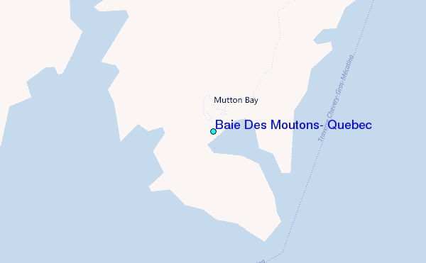
Use this relief map to navigate to tide stations, surf breaks and cities that are in the area of Baie Des Moutons, Quebec.
Other Nearby Locations' tide tables and tide charts to Baie Des Moutons, Quebec:
click location name for more details
 Surf breaks close to Baie Des Moutons, Quebec:
|
||
|---|---|---|
| Closest surf break | Ingonish Beach | 292 mi |
| Second closest surf break | Kennington Cove | 341 mi |
| Third closest surf break | Michaud Point | 367 mi |
| Fourth closest surf break | Martinique | 462 mi |
| Fifth closest surf break | Lawrencetown Left Point | 468 mi |


 Nearest
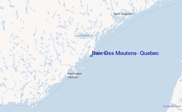