
| Distance / Altitude | Location | Report Date / Time | Live Weather | Wind | Gusts | Temp. | Visibility | Cloud |
|---|---|---|---|---|---|---|---|---|
| 58 km WSW / 38 m | Havre St. Pierre- Que (Canada) | 2025-12-18 11:00 local (2025/12/18 15:00 GMT) | - | light winds from the W (14 km/h at 260) | — | - | - | |
| 58 km WSW / 217 m | Havre St Pierre Airport (Quebec) | 2025-12-18 11:00 local (2025/12/18 15:00 GMT) | - | moderate winds from the W (24 km/h at 280) | -7°C | 14 | few | |
| 71 km E / 218 m | Natashquan Airport (Quebec) | 2025-12-18 11:00 local (2025/12/18 15:00 GMT) | Clear | fresh winds from the WNW (33 km/h at 290) | -6°C | 14 | ||
| 73 km E / 12 m | Natashquan- Que (Canada) | 2025-12-18 12:00 local (2025/12/18 16:00 GMT) | - | moderate winds from the W (22 km/h at 270) | — | - | - no observation - | |
| 97 km SE / 15 m | ASCATB298E50N (Marine) | 2025-12-18 10:10 local (2025/12/18 14:10 GMT) | near gales from the WNW (53 km/h at 286) | — | - km | |||
| 101 km WSW / 9 m | IleAuxPerroquets- Que (Canada) | 2025-12-18 11:00 local (2025/12/18 15:00 GMT) | - | moderate winds from the W (22 km/h at 260) | — | - | - no observation - | |
| 101 km WSW / 216 m | Ice Aux Perroquets (Quebec) | 2025-12-18 11:00 local (2025/12/18 15:00 GMT) | - | strong winds from the W (50 km/h at 280) | -4°C | 0.0 | - - - | |
| 102 km WSW / 11 m | Longue-Pointe-DE -Mingan- Que (Canada) | 2025-12-18 12:00 local (2025/12/18 16:00 GMT) | - | light winds from the W (7 km/h at 280) | — | - | - no observation - | |
| 102 km WSW / 191 m | Longue Point De Mingan Airport (Quebec) | 2025-12-18 11:00 local (2025/12/18 15:00 GMT) | - | light winds from the W (13 km/h at 280) | -6°C | 0.0 | - - - | |
| 118 km SW / 55 m | Port -Menier- Que (Canada) | 2025-12-18 12:00 local (2025/12/18 16:00 GMT) | - | moderate winds from the W (22 km/h at 270) | — | - | - no observation - |
| Contours: | Roads & Rivers: | Select a
tide station / surf break / city |
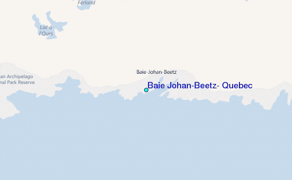
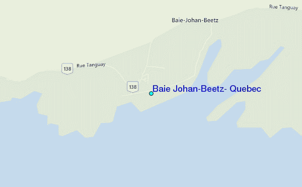
Use this relief map to navigate to tide stations, surf breaks and cities that are in the area of Baie Johan-Beetz, Quebec.
Other Nearby Locations' tide tables and tide charts to Baie Johan-Beetz, Quebec:
click location name for more details
 Surf breaks close to Baie Johan-Beetz, Quebec:
|
||
|---|---|---|
| Closest surf break | Ingonish Beach | 275 mi |
| Second closest surf break | Kennington Cove | 330 mi |
| Third closest surf break | Michaud Point | 341 mi |
| Fourth closest surf break | Martinique | 388 mi |
| Fifth closest surf break | Lawrencetown Left Point | 391 mi |


 Nearest
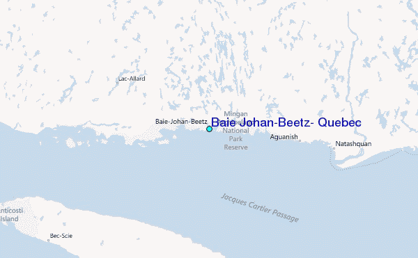