
| Distance / Altitude | Location | Report Date / Time | Live Weather | Wind | Gusts | Temp. | Visibility | Cloud |
|---|---|---|---|---|---|---|---|---|
| 37 km E / 140 m | La Scie, Newfoundland (Canada) | 2025-12-23 23:30 local (2025/12/24 03:00 GMT) | - | light winds from the WNW (19 km/h at 300) | -9°C | - | no observation | |
| 86 km N / 30 m | Englee (Aut)- Nfld (Canada) | 2025-12-23 23:30 local (2025/12/24 03:00 GMT) | - | strong winds from the W (47 km/h at 280) | — | - | - | |
| 104 km ESE / 92 m | Twillingate(Aut)-Nfld (Canada) | 2025-12-23 23:30 local (2025/12/24 03:00 GMT) | - | wind obs. (29 kph from 220 degs) was rejected (- km/h at -) | — | - | - no observation - | |
| 106 km ESE / 207 m | Twillingate Airport (Newfoundland) | 2025-12-23 22:30 local (2025/12/24 02:00 GMT) | - | moderate winds from the NW (26 km/h at 320) | -7°C | 0.0 | ||
| 110 km S / 103 m | Badger(Aut)-Nfld (Canada) | 2025-12-23 23:30 local (2025/12/24 03:00 GMT) | - | light winds from the SW (11 km/h at 220) | — | - | - no observation - | |
| 119 km SSW / 217 m | Deer Lake Airport (Newfoundland) | 2025-12-23 22:30 local (2025/12/24 02:00 GMT) | Light snow | light winds from the SW (11 km/h at 230) | -10°C | 19 | overcast | |
| 120 km SSW / 22 m | Deer Lake Airport (Canada) | 2025-12-23 23:30 local (2025/12/24 03:00 GMT) | - | light winds from the SW (9 km/h at 230) | — | 39 km | - overcast - | |
| 129 km SW / 68 m | Rocky Harbour- Nfld (Canada) | 2025-12-23 23:30 local (2025/12/24 03:00 GMT) | no report | calm (4 km/h at 320) | -9°C | - | - no observation - | |
| 130 km SW / 216 m | Rocky Harbour Airport (Newfoundland) | 2025-12-23 22:30 local (2025/12/24 02:00 GMT) | - | light winds from the WNW (7 km/h at 300) | -9°C | 0.0 | ||
| 130 km SW / 216 m | Rocky Harbour Airport (Newfoundland) | 2025-12-23 22:30 local (2025/12/24 02:00 GMT) | - | light winds from the WNW (7 km/h at 300) | -9°C | 0.0 |
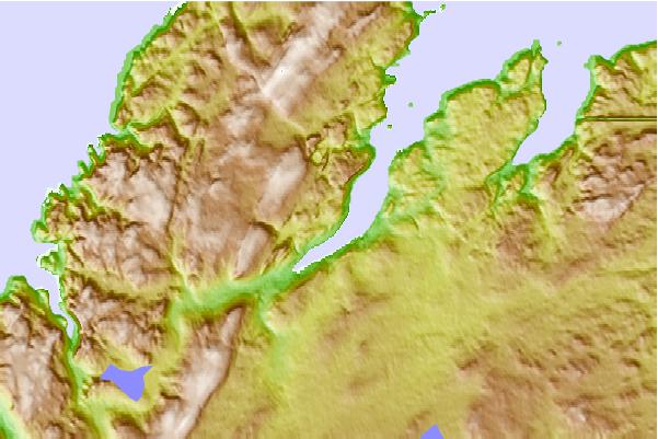
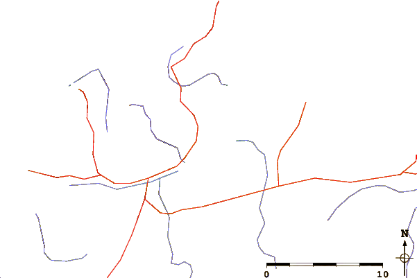
| Contours: | Roads & Rivers: | Select a
tide station / surf break / city |

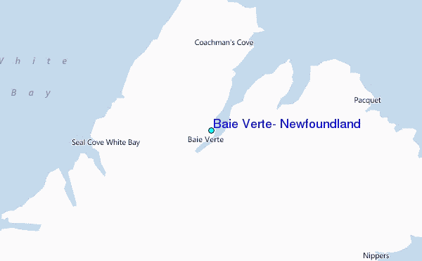
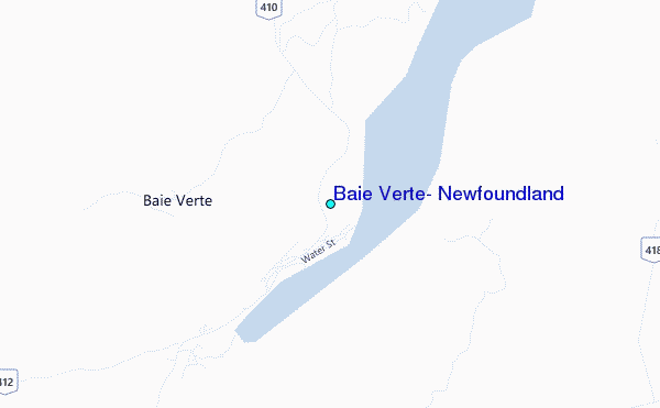
Use this relief map to navigate to tide stations, surf breaks and cities that are in the area of Baie Verte, Newfoundland.
Other Nearby Locations' tide tables and tide charts to Baie Verte, Newfoundland:
click location name for more details
 Surf breaks close to Baie Verte, Newfoundland:
|
||
|---|---|---|
| Closest surf break | Ingonish Beach | 300 mi |
| Second closest surf break | Kennington Cove | 334 mi |
| Third closest surf break | Michaud Point | 368 mi |
| Fourth closest surf break | Martinique | 489 mi |
| Fifth closest surf break | Lawrencetown Left Point | 497 mi |


 Nearest
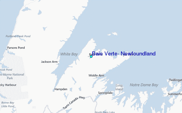