
| Distance / Altitude | Location | Report Date / Time | Live Weather | Wind | Gusts | Temp. | Visibility | Cloud |
|---|---|---|---|---|---|---|---|---|
| 157 km SSE / 34 m | Lima Jorge Chávez International Airport (Peru) | 2025-12-20 22:00 local (2025/12/21 03:00 GMT) | State of sky unchanged | light winds from the SSE (19 km/h at 160) | 20°C | 30 km | - clear - | |
| 325 km NW / 215 m | Trujillo Airport (Peru) | 2025-12-20 22:00 local (2025/12/21 03:00 GMT) | Dry and partly cloudy | light winds from the SE (17 km/h at 140) | 19°C | 7.0 | no significant cloud | |
| 329 km NW / 30 m | Trujillo(84501-0) (Peru) | 2025-12-20 22:00 local (2025/12/21 03:00 GMT) | Mist | light winds from the SE (17 km/h at 140) | 19°C | 27 km | clear | |
| 371 km SSE / 7 m | Pisco (Peru) | 2025-12-20 22:00 local (2025/12/21 03:00 GMT) | State of sky unchanged | calm (4 km/h at 1) | — | 0.0 | - clear - | |
| 434 km NE / 22 m | Pucallpa Airport (Peru) | 2025-12-20 22:00 local (2025/12/21 03:00 GMT) | Dry and partly cloudy | light winds from the NNW (6 km/h at 330) | 27°C | 10.0 | scattered scattered | |
| 439 km NE / 149 m | Pucallpa (Peru) | 2025-12-20 22:00 local (2025/12/21 03:00 GMT) | Clouds developing | light winds from the NNW (6 km/h at 330) | 27°C | 30 km | mostly cloudy | |
| 445 km SW / 15 m | ASCATB279E12S (Marine) | 2025-12-20 21:19 local (2025/12/21 02:19 GMT) | moderate winds from the SE (23 km/h at 139) | — | - km | |||
| 451 km SW / 15 m | ASCATB279E13S (Marine) | 2025-12-20 21:19 local (2025/12/21 02:19 GMT) | moderate winds from the SE (23 km/h at 134) | — | - km | |||
| 491 km SSE / 15 m | ASCATC284E15S (Marine) | 2025-12-20 21:59 local (2025/12/21 02:59 GMT) | light winds from the SSE (18 km/h at 148) | — | - km | |||
| 493 km NW / 30 m | Chiclayo (Peru) | 2025-12-20 22:00 local (2025/12/21 03:00 GMT) | State of sky unchanged | fresh winds from the S (33 km/h at 180) | 20°C | 30 km | mostly cloudy |
| Contours: | Roads & Rivers: | Select a
tide station / surf break / city |
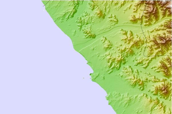
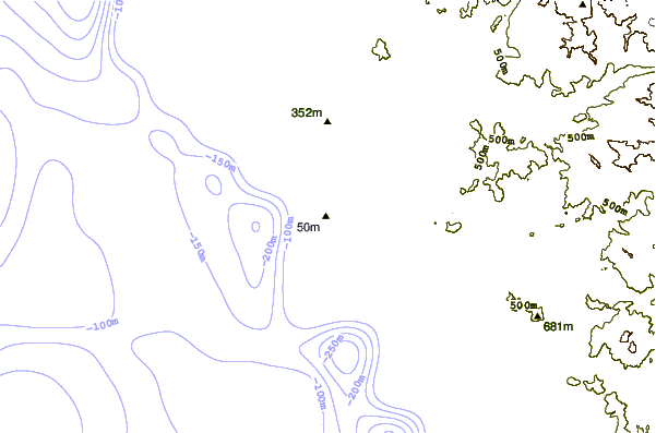
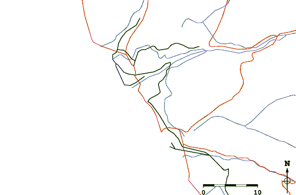
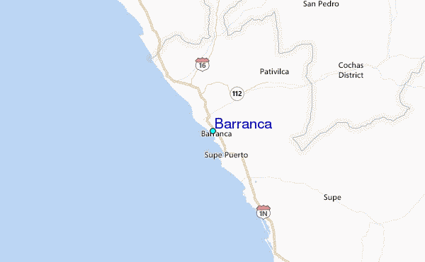
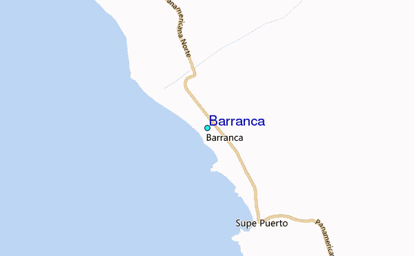
Use this relief map to navigate to tide stations, surf breaks and cities that are in the area of Barranca.
Other Nearby Locations' tide tables and tide charts to Barranca:
click location name for more details
 Surf breaks close to Barranca:
|
||
|---|---|---|
| Closest surf break | Bermejo | 16 mi |
| Second closest surf break | Punta Gaviotas | 29 mi |
| Third closest surf break | Paraiso | 34 mi |
| Fourth closest surf break | Polvorin | 34 mi |
| Fifth closest surf break | Salinas | 38 mi |


 Nearest
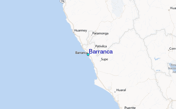