
| Distance / Altitude | Location | Report Date / Time | Live Weather | Wind | Gusts | Temp. | Visibility | Cloud |
|---|---|---|---|---|---|---|---|---|
| 157 km SSE / 34 m | Lima Jorge Chávez International Airport (Peru) | 2026-07-09 15:00 local (2026/07/09 20:00 GMT) | Dry and cloudy | moderate winds from the SSE (22 km/h at 160) | 22°C | 10.0 | scattered overcast | |
| 158 km N / 3079 m | Huaraz Anta/Comandante FAP Germán Arias Graziani Airport (Peru) | 2026-07-09 15:00 local (2026/07/09 20:00 GMT) | - | fresh winds from the N.(Wind varies from 320 to 040 degs) (30 km/h at 360) | — | 0.0 | ||
| 172 km SSE / 361 m | La Molina wx (Peru) | 2026-07-09 15:23 local (2026/07/09 20:23 GMT) | dry | calm (0 km/h at 202) | 21°C | - | - - 0 | |
| 193 km NW / 3 m | Chimbote/Teniente FAP Jaime Montreuil Morales Airport (Peru) | 2026-07-09 15:00 local (2026/07/09 20:00 GMT) | Dry and cloudy | moderate winds from the S (28 km/h at 190) | 23°C | 10.0 | overcast | |
| 240 km ENE / 3571 m | Huánuco/Alférez FAP David Figueroa Fernandini Airport (Peru) | 2026-07-09 15:00 local (2026/07/09 20:00 GMT) | - | fresh winds from the ENE (31 km/h at 60) | — | 10.0 | few scattered - | |
| 269 km NE / 609 m | Tingo Maria Airport (Peru) | 2026-07-09 15:00 local (2026/07/09 20:00 GMT) | Dry and partly cloudy | light winds from the NE (7 km/h at 50) | 30°C | 10.0 | few broken - | |
| 275 km ESE / 3812 m | Jauja Airport (Peru) | 2026-07-09 15:00 local (2026/07/09 20:00 GMT) | - | light winds from the ESE (7 km/h at 110) | 20°C | 10.0 | few | |
| 325 km NW / 215 m | Trujillo Airport (Peru) | 2026-07-09 15:00 local (2026/07/09 20:00 GMT) | Dry and partly cloudy | wind obs. (17 kph from 170 degs) was rejected (- km/h at -) | 23°C | 9.0 | broken | |
| 370 km SSE / 211 m | Pisco Airport (Peru) | 2026-07-09 15:00 local (2026/07/09 20:00 GMT) | Dry and cloudy | light winds from the SW (17 km/h at 220) | 22°C | 10.0 | overcast overcast overcast | |
| 380 km SSE / 5 m | Paracas (Peru) | 2026-07-09 14:05 local (2026/07/09 19:05 GMT) | - | light winds from the SW (11 km/h at 233) | 21°C | - | - - 0 |
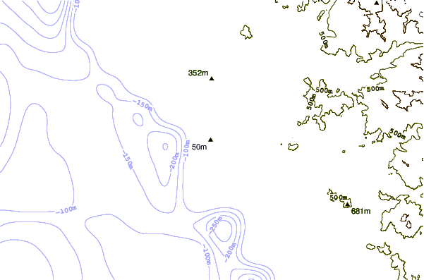
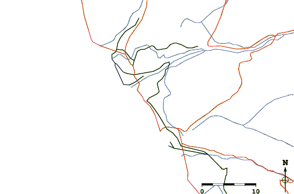
| Contours: | Roads & Rivers: | Select a
tide station / surf break / city |
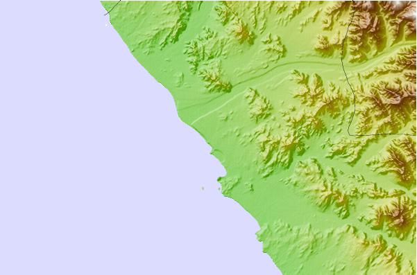
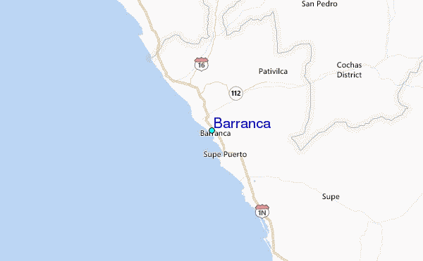
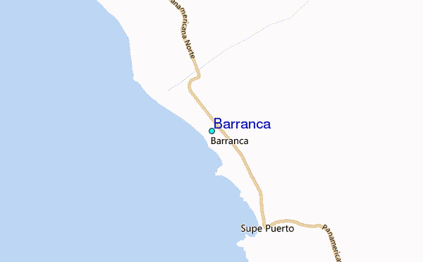
Use this relief map to navigate to tide stations, surf breaks and cities that are in the area of Barranca.
Other Nearby Locations' tide tables and tide charts to Barranca:
click location name for more details
 Surf breaks close to Barranca:
|
||
|---|---|---|
| Closest surf break | Bermejo | 16 mi |
| Second closest surf break | Punta Gaviotas | 29 mi |
| Third closest surf break | Paraiso | 34 mi |
| Fourth closest surf break | Polvorin | 34 mi |
| Fifth closest surf break | Salinas | 38 mi |


 Nearest
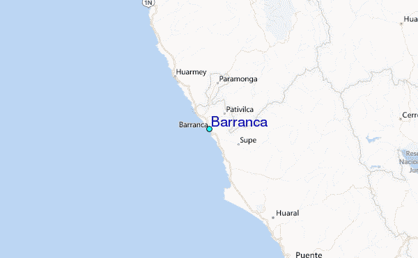