
| Distance / Altitude | Location | Report Date / Time | Live Weather | Wind | Gusts | Temp. | Visibility | Cloud |
|---|---|---|---|---|---|---|---|---|
| 85 km W / 23 m | Gurney (Papua New Guinea) | 2026-05-25 04:00 local (2026/05/24 18:00 GMT) | distant precipitation but not falling at station | - (- km/h at -) | 26°C | 30 | - - - | |
| 442 km W / 48 m | Port Moresby (Papua New Guinea) | 2026-05-25 04:00 local (2026/05/24 18:00 GMT) | haze | fresh winds from the SSE (30 km/h at 160) | 26°C | 20 | - | |
| 639 km S / 472 m | Willis Island (Australia) | 2026-05-25 04:00 local (2026/05/24 18:00 GMT) | no report | fresh winds from the ESE (31 km/h at 110) | 25°C | - | - no observation - | |
| 654 km WNW / 70 m | Nadzab (Papua New Guinea) | 2026-05-25 04:00 local (2026/05/24 18:00 GMT) | rain | - (- km/h at -) | 25°C | 30 | - - - | |
| 687 km SSW / 13 m | Bougainville Reef (Australia) | 2026-05-25 04:00 local (2026/05/24 18:00 GMT) | no report | fresh winds from the ESE (31 km/h at 120) | 25°C | - | - - - | |
| 728 km ENE / 6 m | Munda-New Georgia (Solomon Islands) | 2026-05-25 04:00 local (2026/05/24 18:00 GMT) | distant precipitation but not falling at station | calm (0 km/h at 0) | 26°C | 20 km | - scattered - | |
| 729 km NE / 3 m | Taro Island (Solomon Islands) | 2026-05-25 04:00 local (2026/05/24 18:00 GMT) | Distant precipitation but not falling at station | light winds from the SE (11 km/h at 140) | 27°C | 20 km | - mostly cloudy - | |
| 731 km S / 0 m | Lihou Reef Lighthouse (Australia) | 2026-05-25 04:00 local (2026/05/24 18:00 GMT) | no report | fresh winds from the ESE (30 km/h at 110) | 24°C | - | - | |
| 733 km S / 6 m | Holmes Reef (Australia) | 2026-05-25 04:00 local (2026/05/24 18:00 GMT) | no report | moderate winds from the ESE (28 km/h at 120) | 25°C | - | - | |
| 787 km SSW / 19 m | Cape Flattery (Australia) | 2026-05-25 04:00 local (2026/05/24 18:00 GMT) | no report | moderate winds from the SSE (20 km/h at 150) | 24°C | - | - no observation - |
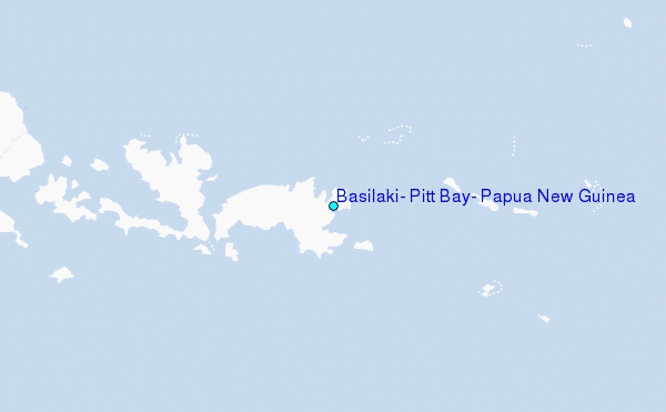
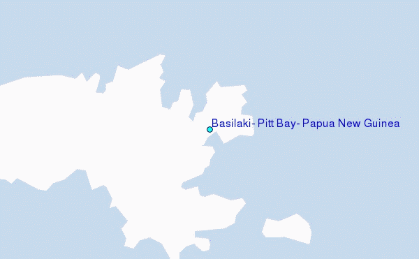
Choose Basilaki, Pitt Bay, Papua New Guinea Location Map Zoom:
| Contours: | Roads & Rivers: | Select a
tide station / surf break / city |
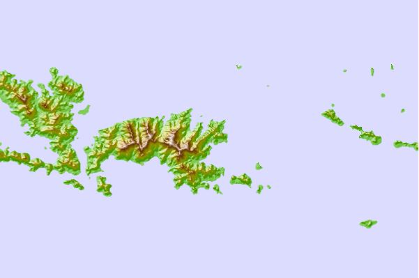
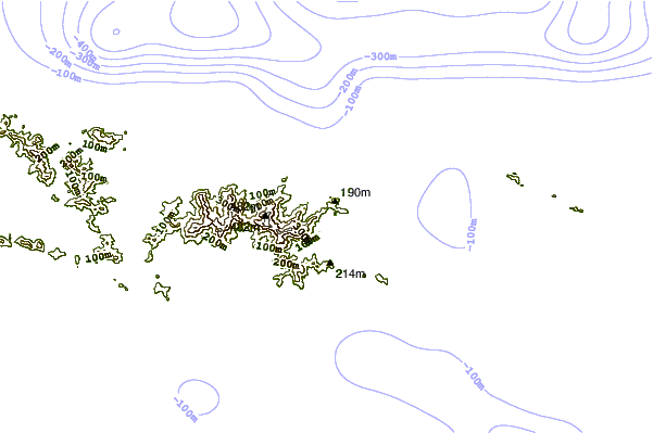
Use this relief map to navigate to tide stations, surf breaks and cities that are in the area of Basilaki, Pitt Bay, Papua New Guinea.
Other Nearby Locations' tide tables and tide charts to Basilaki, Pitt Bay, Papua New Guinea:
click location name for more details
 Surf breaks close to Basilaki, Pitt Bay, Papua New Guinea:
|
||
|---|---|---|
| Closest surf break | Pailongge | 428 mi |
| Second closest surf break | Titiana | 430 mi |
| Third closest surf break | Makuti | 437 mi |
| Fourth closest surf break | Raiven | 439 mi |
| Fifth closest surf break | Despretes | 442 mi |


 Nearest
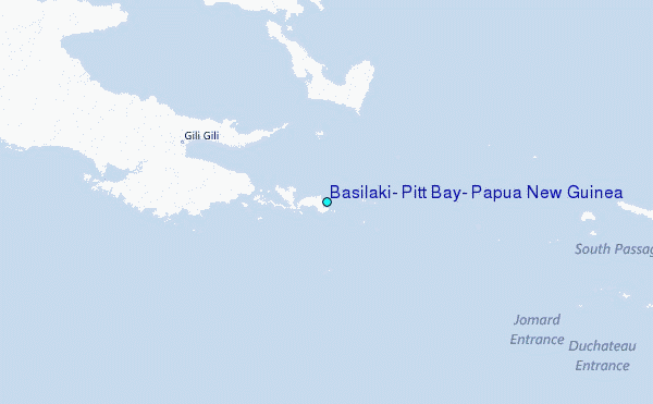