
| Distance / Altitude | Location | Report Date / Time | Live Weather | Wind | Gusts | Temp. | Visibility | Cloud |
|---|---|---|---|---|---|---|---|---|
| 2 km S / 15 m | SHIP4017 (Marine) | 2025-12-25 05:00 local (2025/12/25 10:00 GMT) | light winds from the WSW (16.56 km/h at 240) | — | - km | |||
| 2 km N / 10 m | Beauport Airport (Canada) | 2025-12-25 06:00 local (2025/12/25 11:00 GMT) | - | light winds from the WSW (14 km/h at 250) | — | - | - no observation - | |
| 2 km S / 3 m | SHIP6632 (Marine) | 2025-12-25 05:00 local (2025/12/25 10:00 GMT) | light winds from the WSW (17 km/h at 240) | -6°C | - | |||
| 2 km S / 3 m | SHIP8231 (Marine) | 2025-12-25 05:00 local (2025/12/25 10:00 GMT) | light winds from the NNE (15 km/h at 30) | -7°C | - | |||
| 2 km S / 3 m | SHIP4860 (Marine) | 2025-12-25 05:00 local (2025/12/25 10:00 GMT) | light winds from the WSW (17 km/h at 240) | -6°C | - | |||
| 2 km S / 3 m | SHIP5876 (Marine) | 2025-12-25 07:00 local (2025/12/25 12:00 GMT) | light winds from the NNE (15 km/h at 30) | -6°C | - | |||
| 2 km S / 3 m | SHIP5216 (Marine) | 2025-12-25 06:00 local (2025/12/25 11:00 GMT) | light winds from the NNE (15 km/h at 30) | -6°C | - | |||
| 2 km S / 15 m | SHIP8413 (Marine) | 2025-12-25 05:00 local (2025/12/25 10:00 GMT) | light winds from the WSW (16.56 km/h at 240) | — | - km | |||
| 2 km S / 15 m | SHIP8357 (Marine) | 2025-12-25 05:00 local (2025/12/25 10:00 GMT) | light winds from the NNE (14.76 km/h at 30) | — | - km | |||
| 2 km S / 3 m | SHIP5215 (Marine) | 2025-12-25 06:00 local (2025/12/25 11:00 GMT) | light winds from the SW (15 km/h at 230) | -6°C | - |
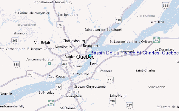
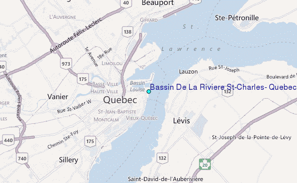
Choose Bassin De La Riviere St-Charles, Quebec Location Map Zoom:
| Contours: | Roads & Rivers: | Select a
tide station / surf break / city |
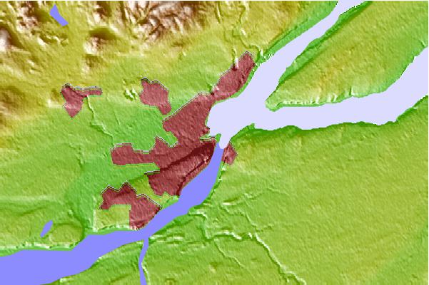
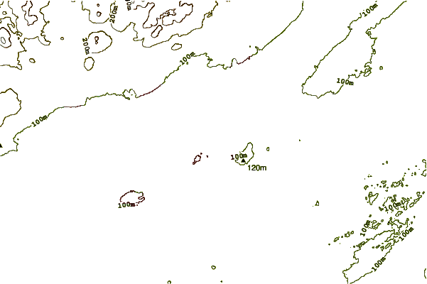
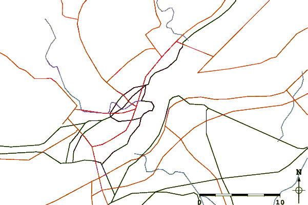
Use this relief map to navigate to tide stations, surf breaks and cities that are in the area of Bassin De La Riviere St-Charles, Quebec.
Other Nearby Locations' tide tables and tide charts to Bassin De La Riviere St-Charles, Quebec:
click location name for more details
 Surf breaks close to Bassin De La Riviere St-Charles, Quebec:
|
||
|---|---|---|
| Closest surf break | Trayhan's | 220 mi |
| Second closest surf break | Popham Read | 224 mi |
| Third closest surf break | Higgins Beach | 229 mi |
| Fourth closest surf break | Doc Browns | 230 mi |
| Fifth closest surf break | Pine Point | 231 mi |


 Nearest
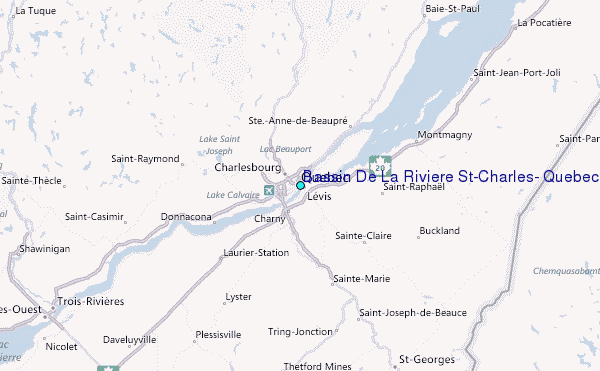