
| Distance / Altitude | Location | Report Date / Time | Live Weather | Wind | Gusts | Temp. | Visibility | Cloud |
|---|---|---|---|---|---|---|---|---|
| 35 km SSE / 3 m | BUOY-STXA2 (Marine) | 2026-03-06 19:02 local (2026/03/07 04:02 GMT) | light winds from the S (8 km/h at 170) | 5°C | - | |||
| 41 km SSE / 212 m | Sitka Airport (Alaska) | 2026-03-06 17:53 local (2026/03/07 02:53 GMT) | Light rain | light winds from the SW (19 km/h at 220) | — | 3 | few broken | |
| 42 km SSE / 3 m | BUOY-SHXA2 (Marine) | 2026-03-06 19:02 local (2026/03/07 04:02 GMT) | light winds from the W (15 km/h at 280) | 0°C | - | |||
| 43 km E / 3 m | BUOY-PCXA2 (Marine) | 2026-03-06 19:02 local (2026/03/07 04:02 GMT) | moderate winds from the WSW (22 km/h at 240) | 7°C | - | |||
| 43 km SSE / 3 m | BUOY-ITKA2 (Marine) | 2026-03-06 18:48 local (2026/03/07 03:48 GMT) | - (- km/h at -) | — | - | |||
| 46 km NNE / 3 m | BUOY-TKEA2 (Marine) | 2026-03-06 19:02 local (2026/03/07 04:02 GMT) | calm (4 km/h at 330) | 4°C | - | |||
| 61 km E / 210 m | Angoon Seaplane Base Airport (United States) | 2026-03-06 17:56 local (2026/03/07 02:56 GMT) | Mist - | calm (0 km/h at 0) | 5°C | 6 | broken overcast broken | |
| 72 km NW / 3 m | BUOY-PEXA2 (Marine) | 2026-03-06 19:02 local (2026/03/07 04:02 GMT) | light winds from the SSE (8 km/h at 150) | 4°C | - | |||
| 77 km N / 213 m | Hoonah Airport (Alaska) | 2026-03-06 18:41 local (2026/03/07 03:41 GMT) | Light rain | wind obs. (19 kph from 250 degs) was rejected (- km/h at -) | 5°C | 16 | few broken broken | |
| 91 km NNE / 3 m | BUOY-RIXA2 (Marine) | 2026-03-06 19:02 local (2026/03/07 04:02 GMT) | moderate winds from the S (22 km/h at 170) | 7°C | - |
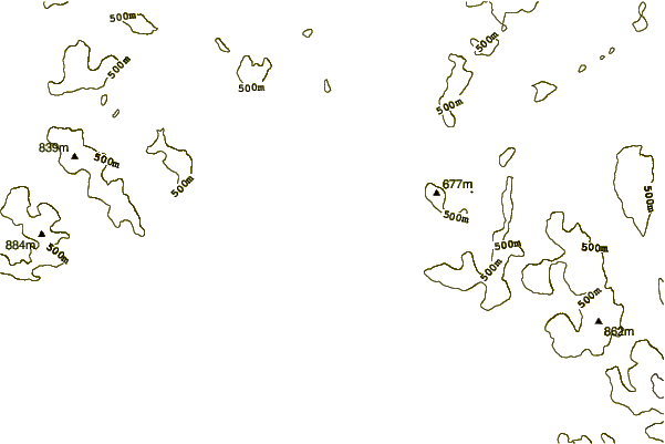
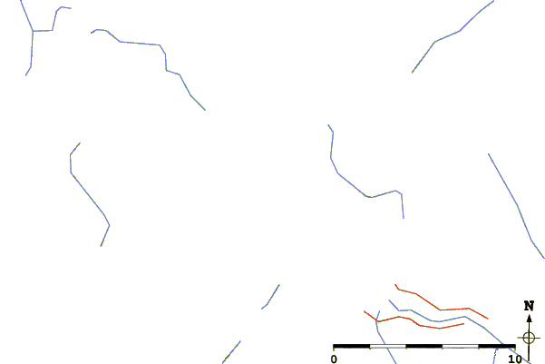
| Contours: | Roads & Rivers: | Select a
tide station / surf break / city |
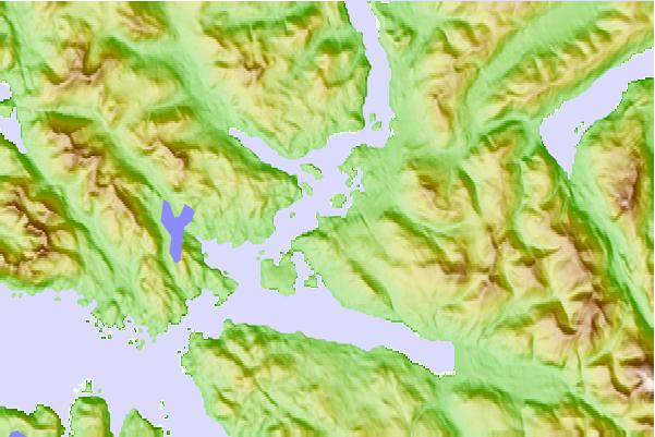
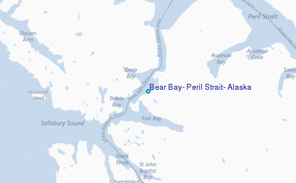
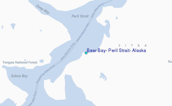
Use this relief map to navigate to tide stations, surf breaks and cities that are in the area of Bear Bay, Peril Strait, Alaska.
Other Nearby Locations' tide tables and tide charts to Bear Bay, Peril Strait, Alaska:
click location name for more details
 Surf breaks close to Bear Bay, Peril Strait, Alaska:
|
||
|---|---|---|
| Closest surf break | Cannon Beach | 209 mi |
| Second closest surf break | Graveyards | 213 mi |
| Third closest surf break | Ocean Cape | 213 mi |
| Fourth closest surf break | Lepus Beach (Haida-Gwaii) | 245 mi |
| Fifth closest surf break | Tow Hill Beach | 273 mi |


 Nearest
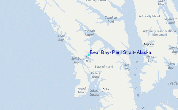