
| Distance / Altitude | Location | Report Date / Time | Live Weather | Wind | Gusts | Temp. | Visibility | Cloud |
|---|---|---|---|---|---|---|---|---|
| 117 km SSW / 164 m | Kuujjuarapik Airport (Quebec) | 2024-04-26 01:00 local (2024/04/26 05:00 GMT) | Clear | moderate winds from the ESE (26 km/h at 120) | -6°C | 14 | ||
| 162 km W / 237 m | Sanikiluaq Airport (N.w. Territories) | 2024-04-26 01:00 local (2024/04/26 05:00 GMT) | - | light winds from the E (19 km/h at 100) | — | 24 | ||
| 273 km NW / 1 m | Inukjuak (Canada) | 2024-04-26 01:33 local (2024/04/26 05:33 GMT) | Light snow | light winds from the ESE (13 km/h at 120) | — | 14 | - clear - | |
| 287 km S / 217 m | La Grande Rivier Airport (Quebec) | 2024-04-26 01:00 local (2024/04/26 05:00 GMT) | Dry and partly cloudy | light winds from the E (17 km/h at 100) | -5°C | 24 | scattered | |
| 301 km NE / 171 m | Riviere Aux Feuilles- Que (Canada) | 2024-04-26 01:00 local (2024/04/26 05:00 GMT) | no report | calm (0 km/h at 180) | -25°C | - | - |
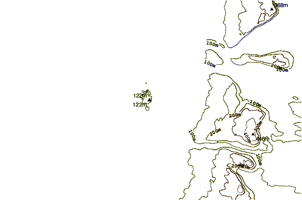
| Contours: | Roads & Rivers: | Select a
tide station / surf break / city |
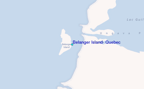
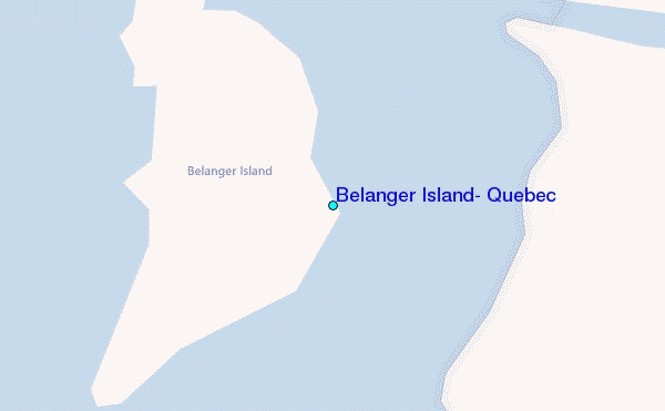
Use this relief map to navigate to tide stations, surf breaks and cities that are in the area of Belanger Island, Quebec.
Other Nearby Locations' tide tables and tide charts to Belanger Island, Quebec:
click location name for more details
 Surf breaks close to Belanger Island, Quebec:
|
||
|---|---|---|
| Closest surf break | Marathon | 657 mi |
| Second closest surf break | Alona Bay | 707 mi |
| Third closest surf break | Bayfield | 761 mi |
| Fourth closest surf break | Manitoulin Island | 761 mi |
| Fifth closest surf break | Au Sable Point | 768 mi |

 Nearest
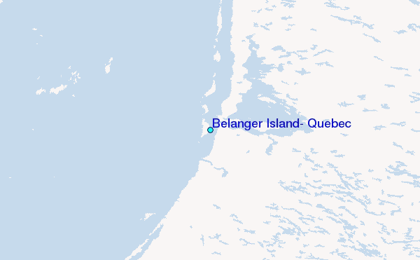