
| Distance / Altitude | Location | Report Date / Time | Live Weather | Wind | Gusts | Temp. | Visibility | Cloud |
|---|---|---|---|---|---|---|---|---|
| 251 km S / 216 m | Resolute Airport (N.w. Territories) | 2026-05-26 22:00 local (2026/05/27 02:00 GMT) | - | moderate winds from the ESE (28 km/h at 120) | -8°C | 48 | few | |
| 251 km S / 30 m | Resolute CS Airport (Nunavut) | 2026-05-26 23:00 local (2026/05/27 03:00 GMT) | no report | light winds from the WNW (7 km/h at 290) | 1°C | 0.0 | - - - | |
| 251 km S / 139 m | Resolute (Canada) | 2026-05-26 23:00 local (2026/05/27 03:00 GMT) | - | moderate winds from the ESE (24 km/h at 120) | -10°C | - | no observation | |
| 252 km S / 113 m | ResoluteUa-NU (Canada) | 2026-05-26 23:00 local (2026/05/27 03:00 GMT) | - | moderate winds from the ESE (28 km/h at 120) | -9°C | 45 km | scattered | |
| 252 km S / 30 m | Resolute (Canada) | 2026-05-26 23:00 local (2026/05/27 03:00 GMT) | no report | wind obs. (7 kph from 270 degs) was rejected (- km/h at -) | 0°C | - | - | |
| 291 km E / 44 m | Grise Fiord Climate- NU (Canada) | 2026-05-26 23:00 local (2026/05/27 03:00 GMT) | no report | calm (0 km/h at 0) | -8°C | - | - no observation - | |
| 358 km SW / 15 m | Rea Point- NU (Canada) | 2026-05-26 23:00 local (2026/05/27 03:00 GMT) | no report | light winds from the SSE (14 km/h at 160) | 0°C | - | - - - | |
| 358 km SW / 12 m | Rae Point (Nunavut) | 2026-05-26 22:00 local (2026/05/27 02:00 GMT) | - | moderate winds from the SE (28 km/h at 130) | -7°C | 0.0 | ||
| 383 km NNE / 0 m | Eureka Ua- NU (Canada) | 2026-05-26 23:00 local (2026/05/27 03:00 GMT) | no report | fresh winds from the SE (35 km/h at 130) | -7°C | 44 km | - overcast - | |
| 385 km NNE / 198 m | Eureka Airport (N.w. Territories) | 2026-05-26 22:00 local (2026/05/27 02:00 GMT) | Low drifting moderate snow | fresh winds from the ESE (37 km/h at 120) | -7°C | 24 | few scattered broken |
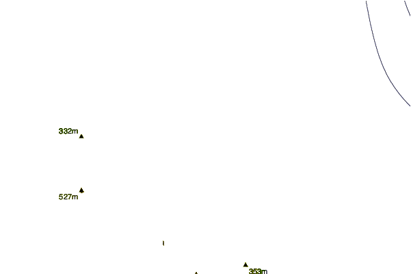
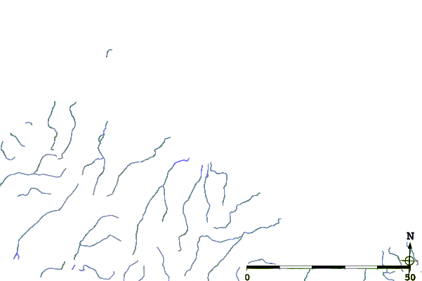
| Contours: | Roads & Rivers: | Select a
tide station / surf break / city |
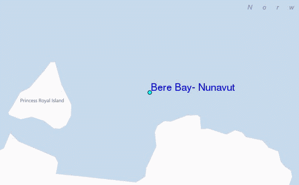
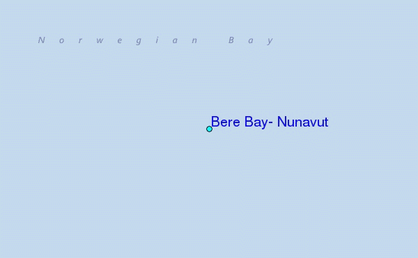
Use this relief map to navigate to tide stations, surf breaks and cities that are in the area of Bere Bay, Nunavut.
Other Nearby Locations' tide tables and tide charts to Bere Bay, Nunavut:
click location name for more details
 Surf breaks close to Bere Bay, Nunavut:
|
||
|---|---|---|
| Closest surf break | Graveyards | 1604 mi |
| Second closest surf break | Ocean Cape | 1606 mi |
| Third closest surf break | Cannon Beach | 1607 mi |
| Fourth closest surf break | Eyvik | 1693 mi |
| Fifth closest surf break | Bird Point (Tidal Bore) | 1710 mi |


 Nearest
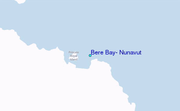