
| Distance / Altitude | Location | Report Date / Time | Live Weather | Wind | Gusts | Temp. | Visibility | Cloud |
|---|---|---|---|---|---|---|---|---|
| 0 km SE / 3 m | BUOY-FRCB6 (Marine) | 2026-05-02 00:00 local (2026/05/02 03:00 GMT) | - (- km/h at -) | — | - | |||
| 2 km ESE / 215 m | Bermuda Naval Air Station Airport (Bermuda) | 2026-05-01 22:55 local (2026/05/02 01:55 GMT) | Dry and partly cloudy | light winds from the N (19 km/h at 350) | 21°C | 10.0 | few broken | |
| 61 km ENE / 15 m | ASCATC296E32N (Marine) | 2026-05-01 21:59 local (2026/05/02 00:59 GMT) | moderate winds from the NNW (27 km/h at 333) | — | - km | |||
| 72 km WSW / 15 m | ASCATC295E32N (Marine) | 2026-05-01 21:59 local (2026/05/02 00:59 GMT) | moderate winds from the NNW (26 km/h at 347) | — | - km | |||
| 107 km SSE / 15 m | ASCATC296E31N (Marine) | 2026-05-01 21:59 local (2026/05/02 00:59 GMT) | moderate winds from the NW (27 km/h at 325) | — | - km | |||
| 111 km S / 15 m | ASCATC295E31N (Marine) | 2026-05-01 21:59 local (2026/05/02 00:59 GMT) | moderate winds from the NNW (24 km/h at 339) | — | - km | |||
| 130 km NNE / 15 m | ASCATC296E33N (Marine) | 2026-05-01 21:59 local (2026/05/02 00:59 GMT) | fresh winds from the NNW (32 km/h at 328) | — | - km | |||
| 133 km NW / 15 m | ASCATC295E33N (Marine) | 2026-05-01 21:59 local (2026/05/02 00:59 GMT) | moderate winds from the NNW (28 km/h at 346) | — | - km | |||
| 150 km WSW / 15 m | ASCATC294E32N (Marine) | 2026-05-01 21:59 local (2026/05/02 00:59 GMT) | moderate winds from the N (23 km/h at 350) | — | - km | |||
| 152 km E / 15 m | ASCATC297E32N (Marine) | 2026-05-01 21:59 local (2026/05/02 00:59 GMT) | moderate winds from the NW (25 km/h at 306) | — | - km |
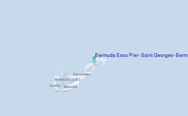
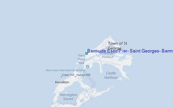
Choose Bermuda Esso Pier, Saint Georges, Bermuda Location Map Zoom:
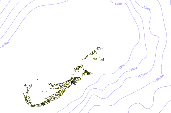
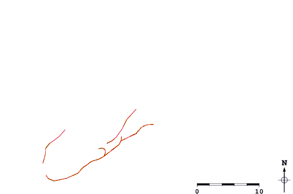
| Contours: | Roads & Rivers: | Select a
tide station / surf break / city |
Use this relief map to navigate to tide stations, surf breaks and cities that are in the area of Bermuda Esso Pier, Saint Georges, Bermuda.
Other Nearby Locations' tide tables and tide charts to Bermuda Esso Pier, Saint Georges, Bermuda:
click location name for more details
 Surf breaks close to Bermuda Esso Pier, Saint Georges, Bermuda:
|
||
|---|---|---|
| Closest surf break | Castle Island | 3 mi |
| Second closest surf break | Tuckers | 3 mi |
| Third closest surf break | Moniz's Bay | 5 mi |
| Fourth closest surf break | Pampas Road | 6 mi |
| Fifth closest surf break | Dunkleys | 6 mi |


 Nearest
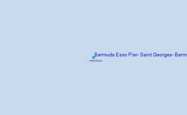