
| Distance / Altitude | Location | Report Date / Time | Live Weather | Wind | Gusts | Temp. | Visibility | Cloud |
|---|---|---|---|---|---|---|---|---|
| 109 km S / 24 m | Kugluktuk Climate- NU (Canada) | 2026-05-12 07:00 local (2026/05/12 13:00 GMT) | - | wind obs. (25 kph from 320 degs) was rejected (- km/h at -) | — | - | - - - | |
| 109 km S / 217 m | Coppermine Airport (N.w. Territories) | 2026-05-12 07:00 local (2026/05/12 13:00 GMT) | Light snow | wind obs. (17 kph from 310 degs) was rejected (- km/h at -) | -8°C | 19 | overcast | |
| 249 km NW / 30 m | HolmanCs-Nwt (Canada) | 2026-05-12 07:00 local (2026/05/12 13:00 GMT) | - | light winds from the NW (11 km/h at 310) | — | - | - no observation - | |
| 250 km NW / 258 m | Holman Island Airport (N.w. Territories) | 2026-05-12 08:00 local (2026/05/12 14:00 GMT) | Ice crystals | light winds from the WNW (13 km/h at 290) | -13°C | 24 | few few | |
| 306 km W / 616 m | Tuktut Nogait Airport (N.w. Territories) | 2026-05-12 07:00 local (2026/05/12 13:00 GMT) | - | calm (4 km/h at 60) | -16°C | 0.0 | ||
| 307 km W / 552 m | Tuktut Nogait- Nwt (Canada) | 2026-05-12 07:00 local (2026/05/12 13:00 GMT) | - | wind obs. (11 kph from 260 degs) was rejected (- km/h at -) | — | - | - - - | |
| 358 km SE / 5 m | Bathurst Inlet- NU (Canada) | 2026-05-12 08:00 local (2026/05/12 14:00 GMT) | - | fresh winds from the W (29 km/h at 270) | — | - | - | |
| 369 km SSE / 708 m | Lupin Airport (N.w. Territories) | 2026-05-12 07:00 local (2026/05/12 13:00 GMT) | - | light winds from the NE (13 km/h at 40) | -9°C | 0.0 | ||
| 371 km SSE / 496 m | Lupin Cs- NU (Canada) | 2026-05-12 06:00 local (2026/05/12 12:00 GMT) | - | moderate winds from the NW (25 km/h at 320) | — | - | - | |
| 371 km SSE / 488 m | Lupin (Canada) | 2026-05-12 07:00 local (2026/05/12 13:00 GMT) | - | calm (0 km/h at 160) | — | - | - - - |
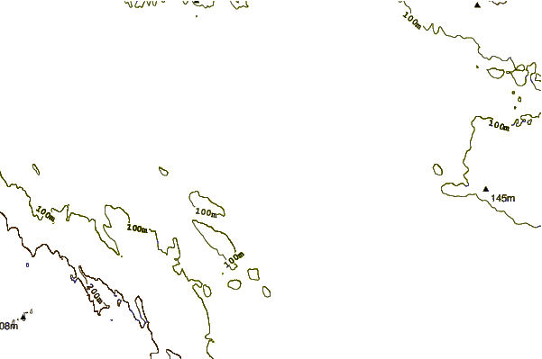
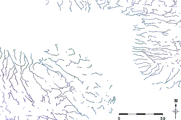
| Contours: | Roads & Rivers: | Select a
tide station / surf break / city |
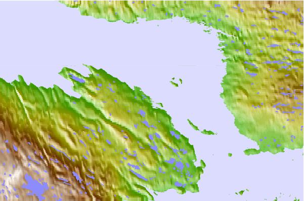
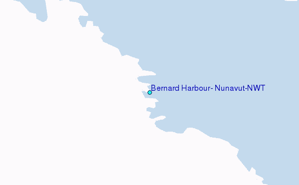
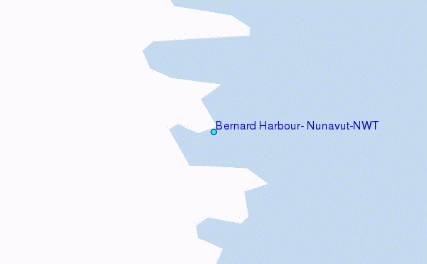
Use this relief map to navigate to tide stations, surf breaks and cities that are in the area of Bernard Harbour, Nunavut/NWT.
Other Nearby Locations' tide tables and tide charts to Bernard Harbour, Nunavut/NWT:
click location name for more details
 Surf breaks close to Bernard Harbour, Nunavut/NWT:
|
||
|---|---|---|
| Closest surf break | Graveyards | 976 mi |
| Second closest surf break | Cannon Beach | 977 mi |
| Third closest surf break | Ocean Cape | 978 mi |
| Fourth closest surf break | Tow Hill Beach | 1153 mi |
| Fifth closest surf break | Lepus Beach (Haida-Gwaii) | 1166 mi |


 Nearest
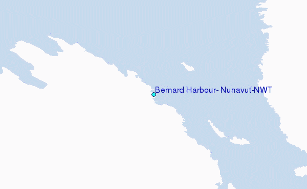