
| Distance / Altitude | Location | Report Date / Time | Live Weather | Wind | Gusts | Temp. | Visibility | Cloud |
|---|---|---|---|---|---|---|---|---|
| 27 km E / 3 m | BUOY-SMKF1 (Marine) | 2026-03-18 21:00 local (2026/03/19 01:00 GMT) | strong winds from the N (41 km/h at 10) | 20°C | - | |||
| 28 km ENE / 3 m | BUOY-VCAF1 (Marine) | 2026-03-18 20:48 local (2026/03/19 00:48 GMT) | moderate winds from the NNE (28 km/h at 20) | — | - | |||
| 34 km ENE / 217 m | Marathon Airport (Florida) | 2026-03-18 19:53 local (2026/03/18 23:53 GMT) | Dry and cloudy | light winds from the NNE (19 km/h at 20) | 20°C | 16 | broken overcast | |
| 40 km SW / 218 m | Key West Airport (Florida) | 2026-03-18 19:53 local (2026/03/18 23:53 GMT) | Dry and cloudy | moderate winds from the NNE (20 km/h at 20) | 21°C | 16 | overcast | |
| 45 km SW / 3 m | BUOY-KYWF1 (Marine) | 2026-03-18 20:48 local (2026/03/19 00:48 GMT) | moderate winds from the NNE (21 km/h at 30) | — | - | |||
| 55 km SW / 3 m | BUOY-SANF1 (Marine) | 2026-03-18 20:50 local (2026/03/19 00:50 GMT) | strong winds from the NNE (39 km/h at 30) | 20°C | - | |||
| 55 km S / 3 m | SHIP5816 (Marine) | 2026-03-18 21:00 local (2026/03/19 01:00 GMT) | - (- km/h at -) | — | - | |||
| 56 km ENE / 3 m | BUOY-LONF1 (Marine) | 2026-03-18 20:50 local (2026/03/19 00:50 GMT) | strong winds from the NNE (42 km/h at 20) | 19°C | - | |||
| 61 km ESE / 3 m | SHIP5814 (Marine) | 2026-03-18 21:00 local (2026/03/19 01:00 GMT) | - (- km/h at -) | — | - | |||
| 61 km ESE / 3 m | SHIP8957 (Marine) | 2026-03-18 21:00 local (2026/03/19 01:00 GMT) | - (- km/h at -) | — | - |
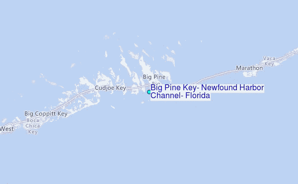
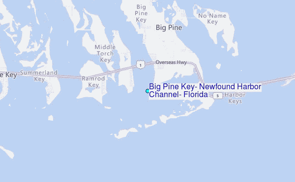
Choose Big Pine Key, Newfound Harbor Channel, Florida Location Map Zoom:
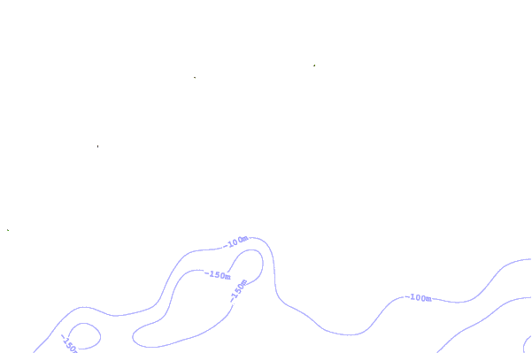
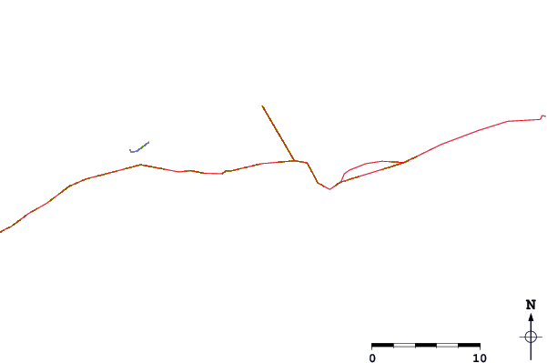
| Contours: | Roads & Rivers: | Select a
tide station / surf break / city |
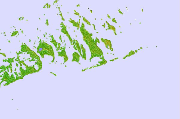
Use this relief map to navigate to tide stations, surf breaks and cities that are in the area of Big Pine Key, Newfound Harbor Channel, Florida.
Other Nearby Locations' tide tables and tide charts to Big Pine Key, Newfound Harbor Channel, Florida:
click location name for more details
 Surf breaks close to Big Pine Key, Newfound Harbor Channel, Florida:
|
||
|---|---|---|
| Closest surf break | Naples Pier | 102 mi |
| Second closest surf break | South Beach (Miami) | 109 mi |
| Third closest surf break | Fifth Street (Miami) | 110 mi |
| Fourth closest surf break | 21st Street (Miami) | 111 mi |
| Fifth closest surf break | Dunes Hotel (Miami) | 112 mi |


 Nearest
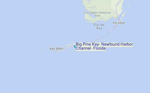