
| Distance / Altitude | Location | Report Date / Time | Live Weather | Wind | Gusts | Temp. | Visibility | Cloud |
|---|---|---|---|---|---|---|---|---|
| 7 km WSW / 397 m | Bissau Airport (Guinea-bissau) | 2025-12-25 20:00 local (2025/12/25 20:00 GMT) | Dry and partly cloudy | light winds from the ENE.(Wind varies from 020 to 090 degs) (7 km/h at 60) | 28°C | 8.0 | no significant cloud - - | |
| 7 km W / 36 m | BissauAeroporto (Guinea-Bissau) | 2025-12-25 21:00 local (2025/12/25 21:00 GMT) | - | calm (4 km/h at 20) | 23°C | 28 km | scattered | |
| 106 km WNW / 482 m | Ziguinchor (Senegal) | 2025-12-25 20:00 local (2025/12/25 20:00 GMT) | - | light winds from the N (7 km/h at 360) | — | 0.0 | ||
| 106 km WNW / 482 m | Ziguinchor Airport (Senegal) | 2025-12-25 20:00 local (2025/12/25 20:00 GMT) | - | light winds from the N (7 km/h at 360) | — | 0.0 | ||
| 129 km NNE / 10 m | Kolda Airport (Senegal) | 2025-12-25 21:00 local (2025/12/25 21:00 GMT) | - | calm (0 km/h at 0) | — | 0.0 | ||
| 140 km W / 407 m | Cape Skiring Airport (Senegal) | 2025-12-25 20:00 local (2025/12/25 20:00 GMT) | - | light winds from the N.(Wind varies from 330 to 030 degs) (11 km/h at 360) | — | 0.0 | ||
| 200 km WNW / 38 m | BanjulYundum (Gambia) | 2025-12-25 21:00 local (2025/12/25 21:00 GMT) | Haze | light winds from the W (9 km/h at 280) | 22°C | 29 km | - scattered - | |
| 209 km WNW / 162 m | Banjul/Yundum International Airport (Gambia) | 2025-12-25 20:00 local (2025/12/25 20:00 GMT) | Dry and partly cloudy | light winds from the W (15 km/h at 280) | 23°C | 8.0 | no significant cloud | |
| 254 km NW / 7 m | Kaolack Airport (Senegal) | 2025-12-25 21:00 local (2025/12/25 21:00 GMT) | - | light winds from the NE (15 km/h at 40) | — | 0.0 | ||
| 288 km SE / 72 m | Kénendé wx (Guinea) | 2025-12-25 21:47 local (2025/12/25 21:47 GMT) | dry | calm (2 km/h at 198) | 26°C | - | - - 0 |
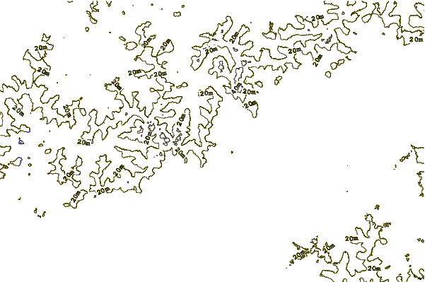
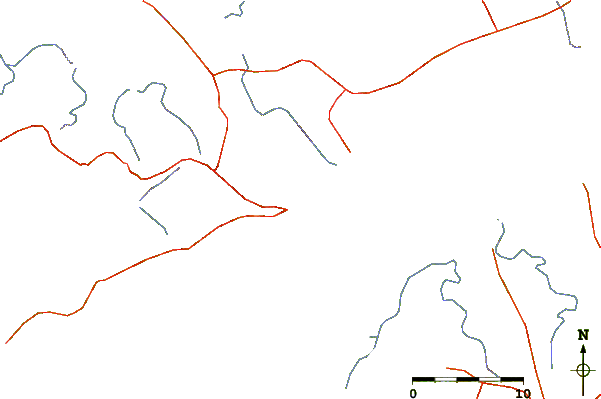
| Contours: | Roads & Rivers: | Select a
tide station / surf break / city |
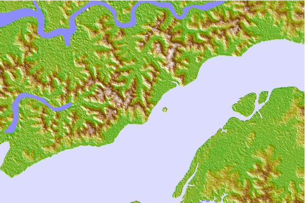
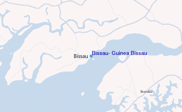
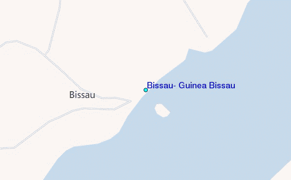
Use this relief map to navigate to tide stations, surf breaks and cities that are in the area of Bissau, Guinea Bissau.
Other Nearby Locations' tide tables and tide charts to Bissau, Guinea Bissau:
click location name for more details
 Surf breaks close to Bissau, Guinea Bissau:
|
||
|---|---|---|
| Closest surf break | Cap Skirring | 85 mi |
| Second closest surf break | Kololi Kotu Kombo | 133 mi |
| Third closest surf break | Senegambia Beach | 134 mi |
| Fourth closest surf break | Baobab (Somone) | 206 mi |
| Fifth closest surf break | Piere de Lisse | 214 mi |


 Nearest
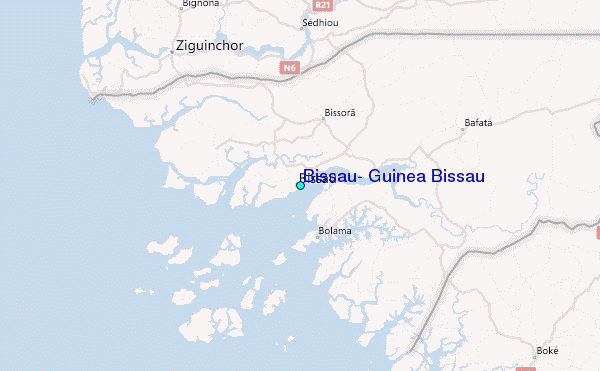